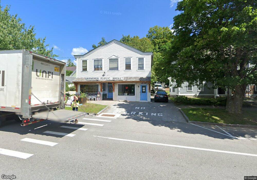
19 E Main St Warner, NH 03278
Estimated Value: $359,179
3
Beds
2
Baths
3,743
Sq Ft
$96/Sq Ft
Est. Value
About This Home
This home is located at 19 E Main St, Warner, NH 03278 and is currently estimated at $359,179, approximately $95 per square foot. 19 E Main St is a home located in Merrimack County with nearby schools including Simonds Elementary School, Kearsarge Regional Middle School, and Kearsarge Regional High School.
Ownership History
Date
Name
Owned For
Owner Type
Purchase Details
Closed on
Dec 20, 2019
Sold by
Wingdoodle Llc
Bought by
Make Grow Llc
Current Estimated Value
Home Financials for this Owner
Home Financials are based on the most recent Mortgage that was taken out on this home.
Original Mortgage
$151,897
Outstanding Balance
$132,759
Interest Rate
3.6%
Mortgage Type
Purchase Money Mortgage
Estimated Equity
$226,420
Purchase Details
Closed on
Oct 1, 2001
Sold by
Oconnor Frederic L and Oconnor Susan L
Bought by
Wingdoodle Llc
Home Financials for this Owner
Home Financials are based on the most recent Mortgage that was taken out on this home.
Original Mortgage
$98,040
Interest Rate
6.91%
Mortgage Type
Commercial
Create a Home Valuation Report for This Property
The Home Valuation Report is an in-depth analysis detailing your home's value as well as a comparison with similar homes in the area
Home Values in the Area
Average Home Value in this Area
Purchase History
| Date | Buyer | Sale Price | Title Company |
|---|---|---|---|
| Make Grow Llc | $200,000 | None Available | |
| Make Grow Llc | $200,000 | None Available | |
| Wingdoodle Llc | $122,500 | -- | |
| Wingdoodle Llc | $122,500 | -- |
Source: Public Records
Mortgage History
| Date | Status | Borrower | Loan Amount |
|---|---|---|---|
| Open | Make Grow Llc | $151,897 | |
| Closed | Make Grow Llc | $151,897 | |
| Previous Owner | Wingdoodle Llc | $98,040 |
Source: Public Records
Tax History
| Year | Tax Paid | Tax Assessment Tax Assessment Total Assessment is a certain percentage of the fair market value that is determined by local assessors to be the total taxable value of land and additions on the property. | Land | Improvement |
|---|---|---|---|---|
| 2025 | $6,003 | $346,600 | $100,900 | $245,700 |
| 2024 | $6,598 | $213,600 | $35,600 | $178,000 |
| 2023 | $5,581 | $175,950 | $62,170 | $113,780 |
| 2016 | $4,810 | $175,950 | $62,170 | $113,780 |
| 2015 | $4,687 | $175,950 | $62,170 | $113,780 |
| 2011 | $4,323 | $173,110 | $59,330 | $113,780 |
Source: Public Records
Map
Nearby Homes
- 0 Nh Route 103 Unit 85-1
- 57 Kearsarge Mountain Rd
- 0 Waldron Hill Rd Unit 30-2-3
- 163 Pumpkin Hill Rd
- 69 Parade Ground Cemetery Rd
- 190 Route 103 E
- 126 Route 103 E
- 168 Route 103 E
- 1 Gridley St
- lot 6 Gridley St
- 42 Farrell Loop
- 67 Morse Ln
- Map 03 Lot 89 Route 127
- 298 Battle St
- 0 Bagley Hill Rd
- 11 White Plains Rd
- 63 Evergreen Ln
- 25 Sunset Dr
- 15 Edgewood Dr
- 30 Evergreen Ln
- 21 E Main St
- 2 E Main St
- 25 E Main St
- 1 E Main St
- 17 E Main St
- 15 E Main St Unit 3
- 15 E Main St Unit 4
- 15 E Main St
- 18 E Main St
- 5 School St
- Map 7 Lot Route 103 E
- 00 Kearsarge Mountain Rd
- 33 E Main St
- 7 School St
- 11 School St
- 0 Kearsarge Mountain Rd
- 0 Kearsarge Mountain Rd Unit 4067679
- 11 Depot St
- 8 School St
- 0 Kearsarge Unit 4504968
Your Personal Tour Guide
Ask me questions while you tour the home.