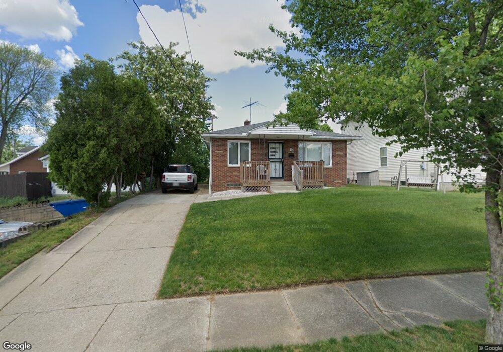
19 E Ralston Ave Akron, OH 44301
Firestone Park NeighborhoodEstimated Value: $131,000 - $154,000
3
Beds
1
Bath
1,092
Sq Ft
$130/Sq Ft
Est. Value
About This Home
This home is located at 19 E Ralston Ave, Akron, OH 44301 and is currently estimated at $141,982, approximately $130 per square foot. 19 E Ralston Ave is a home located in Summit County with nearby schools including Kenmore Garfield Community Learning Center, Main Preparatory Academy, and Eagle Elementary.
Ownership History
Date
Name
Owned For
Owner Type
Purchase Details
Closed on
Aug 28, 2001
Sold by
St Elia Macedonia Church Inc
Bought by
Golden Howard L
Current Estimated Value
Home Financials for this Owner
Home Financials are based on the most recent Mortgage that was taken out on this home.
Original Mortgage
$79,750
Outstanding Balance
$31,370
Interest Rate
7.11%
Estimated Equity
$110,612
Create a Home Valuation Report for This Property
The Home Valuation Report is an in-depth analysis detailing your home's value as well as a comparison with similar homes in the area
Home Values in the Area
Average Home Value in this Area
Purchase History
| Date | Buyer | Sale Price | Title Company |
|---|---|---|---|
| Golden Howard L | $85,750 | Endress/Lawyers Title |
Source: Public Records
Mortgage History
| Date | Status | Borrower | Loan Amount |
|---|---|---|---|
| Open | Golden Howard L | $79,750 |
Source: Public Records
Tax History
| Year | Tax Paid | Tax Assessment Tax Assessment Total Assessment is a certain percentage of the fair market value that is determined by local assessors to be the total taxable value of land and additions on the property. | Land | Improvement |
|---|---|---|---|---|
| 2024 | $2,001 | $37,689 | $8,488 | $29,201 |
| 2023 | $2,001 | $37,689 | $8,488 | $29,201 |
| 2022 | $1,850 | $27,311 | $6,150 | $21,161 |
| 2021 | $1,851 | $27,311 | $6,150 | $21,161 |
| 2020 | $1,824 | $27,310 | $6,150 | $21,160 |
| 2019 | $1,776 | $24,130 | $6,150 | $17,980 |
| 2018 | $1,752 | $24,130 | $6,150 | $17,980 |
| 2017 | $1,780 | $24,130 | $6,150 | $17,980 |
| 2016 | $1,781 | $24,130 | $6,150 | $17,980 |
| 2015 | $1,780 | $24,130 | $6,150 | $17,980 |
| 2014 | $1,766 | $24,130 | $6,150 | $17,980 |
| 2013 | $1,742 | $24,290 | $6,150 | $18,140 |
Source: Public Records
Map
Nearby Homes
- 37 & 39 W Woodsdale Ave
- 23 Wayne Ave
- 16 E Catawba Ave
- 1870 Dallas Ave
- 231 E Dresden Ave
- 22 Youtz Ave
- 30 Youtz Ave
- 1842 Thornapple Ave
- 62 E Rosewood Ave
- 1835 Thornapple Ave
- 41 E Rosewood Ave
- 14 E Dartmore Ave
- 244 E Catawba Ave
- 248 E Catawba Ave
- 29 E Dartmore Ave
- 16 Palmetto Ave
- 75 W Dartmore Ave
- 2407 Nesmith Lake Blvd
- 1582 Evergreen Ave
- 367 Wayne Ave
- 23 E Ralston Ave
- 2063 S Main St
- 2063 S Main St
- 16 E Woodsdale Ave
- 31 E Ralston Ave
- 2059 S Main St
- 28 E Woodsdale Ave
- 2055 S Main St
- 20 E Ralston Ave
- 24 E Ralston Ave
- 2087 S Main St
- 34 E Woodsdale Ave
- 28 E Ralston Ave
- 37 E Ralston Ave
- 34 E Ralston Ave
- 44 E Woodsdale Ave
- 44 E Ralston Ave
- 9 E Woodsdale Ave
- 15 E Woodsdale Ave
- 41 E Ralston Ave
Your Personal Tour Guide
Ask me questions while you tour the home.