19 Endicott Rd Newport, NH 03773
Estimated Value: $301,000 - $353,000
3
Beds
1
Bath
1,400
Sq Ft
$238/Sq Ft
Est. Value
About This Home
This home is located at 19 Endicott Rd, Newport, NH 03773 and is currently estimated at $332,928, approximately $237 per square foot. 19 Endicott Rd is a home located in Sullivan County with nearby schools including Richards Elementary School, Newport High School, and Newport Montessori School.
Ownership History
Date
Name
Owned For
Owner Type
Purchase Details
Closed on
Jun 22, 2016
Sold by
Cummings Barbara A
Bought by
Cummings John H and Cummings Barbara A
Current Estimated Value
Purchase Details
Closed on
Apr 30, 2014
Sold by
Cummings John M
Bought by
Cummings Barbara A
Create a Home Valuation Report for This Property
The Home Valuation Report is an in-depth analysis detailing your home's value as well as a comparison with similar homes in the area
Home Values in the Area
Average Home Value in this Area
Purchase History
| Date | Buyer | Sale Price | Title Company |
|---|---|---|---|
| Cummings John H | -- | -- | |
| Cummings Barbara A | -- | -- |
Source: Public Records
Tax History
| Year | Tax Paid | Tax Assessment Tax Assessment Total Assessment is a certain percentage of the fair market value that is determined by local assessors to be the total taxable value of land and additions on the property. | Land | Improvement |
|---|---|---|---|---|
| 2025 | $6,872 | $273,900 | $81,300 | $192,600 |
| 2024 | $6,659 | $273,900 | $81,300 | $192,600 |
| 2023 | $6,459 | $273,900 | $81,300 | $192,600 |
| 2022 | $5,725 | $273,900 | $81,300 | $192,600 |
| 2021 | $5,297 | $160,500 | $40,700 | $119,800 |
| 2020 | $5,313 | $160,500 | $40,700 | $119,800 |
| 2019 | $4,795 | $147,400 | $40,700 | $106,700 |
| 2018 | $4,481 | $147,400 | $40,700 | $106,700 |
| 2017 | $4,428 | $147,400 | $40,700 | $106,700 |
| 2016 | $4,312 | $150,100 | $39,400 | $110,700 |
| 2015 | $4,390 | $150,100 | $39,400 | $110,700 |
| 2014 | $4,749 | $150,100 | $39,400 | $110,700 |
| 2013 | $4,501 | $150,100 | $39,400 | $110,700 |
Source: Public Records
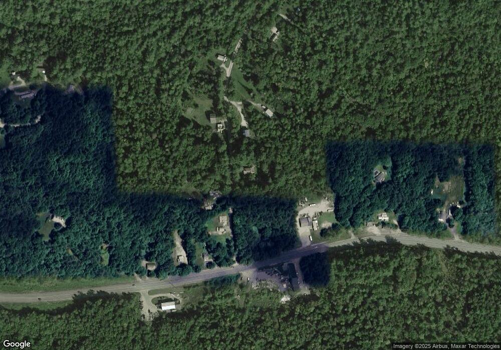
Map
Nearby Homes
- 430 John Stark Hwy
- 680-2 John Stark Hwy
- 736 John Stark Hwy
- 30 Pine St
- 7 Kyle Dr
- 36 Spring St
- 11 Putnam Rd
- 3 Newport Ave
- 27 Fairway Ave
- 00 John Stark Hwy Unit 6000
- 85 Pike Hill Rd
- 37 Park St
- 29 Beech St
- 29 Beech St Unit 1
- 29 Beech St Unit 2
- 80 Laurel St
- 150 S Main St
- 130 Sunapee St
- 0 Unity Rd Unit 9001
- 00 Tall Pines Rd Unit 11
- 35 Endicott Rd
- 14 Endicott Rd
- 8 Endicott Rd
- 32 Endicott Rd
- 485 John Stark Hwy
- 491 John Stark Hwy
- 491 John Stark Hwy Unit 1
- 00 Endicott Rd
- 507 John Stark Hwy
- 44 Endicott Rd
- 513 John Stark Hwy
- 475 John Stark Hwy
- 523 John Stark Hwy
- 61 Endicott Rd
- 88 Endicott Rd
- 451 John Stark Hwy
- 71 Endicott Rd
- 525 John Stark Hwy
- 60 Endicott Rd
- 14 Blood Rd
Your Personal Tour Guide
Ask me questions while you tour the home.