19 Firethorn Ct Lemont, IL 60439
Southeast Lemont NeighborhoodEstimated Value: $847,140 - $948,000
3
Beds
5
Baths
3,727
Sq Ft
$240/Sq Ft
Est. Value
About This Home
This home is located at 19 Firethorn Ct, Lemont, IL 60439 and is currently estimated at $896,035, approximately $240 per square foot. 19 Firethorn Ct is a home located in Cook County with nearby schools including Oakwood School, River Valley School, and Old Quarry Middle School.
Ownership History
Date
Name
Owned For
Owner Type
Purchase Details
Closed on
Feb 22, 2016
Sold by
Arenberg Timothy
Bought by
Arenberg Family Qualified Personal Resid
Current Estimated Value
Purchase Details
Closed on
Jan 3, 2005
Sold by
Arenberg Lorraine L and Arenberg William D
Bought by
Arenberg Lorraine L and The Arenberg Family Qualified Personal R
Purchase Details
Closed on
Dec 30, 2004
Sold by
Arenberg William D and Arenberg Lorraine L
Bought by
Arenberg Lorraine L
Create a Home Valuation Report for This Property
The Home Valuation Report is an in-depth analysis detailing your home's value as well as a comparison with similar homes in the area
Home Values in the Area
Average Home Value in this Area
Purchase History
| Date | Buyer | Sale Price | Title Company |
|---|---|---|---|
| Arenberg Family Qualified Personal Resid | -- | Attorney | |
| Arenberg Lorraine L | -- | -- | |
| Arenberg Lorraine L | -- | First American Title | |
| Arenberg Lorraine L | -- | -- | |
| Arenberg Lorraine L | -- | -- |
Source: Public Records
Tax History Compared to Growth
Tax History
| Year | Tax Paid | Tax Assessment Tax Assessment Total Assessment is a certain percentage of the fair market value that is determined by local assessors to be the total taxable value of land and additions on the property. | Land | Improvement |
|---|---|---|---|---|
| 2024 | $13,307 | $70,001 | $10,388 | $59,613 |
| 2023 | $13,818 | $70,001 | $10,388 | $59,613 |
| 2022 | $13,818 | $63,071 | $9,141 | $53,930 |
| 2021 | $13,433 | $63,071 | $9,141 | $53,930 |
| 2020 | $14,656 | $67,212 | $9,141 | $58,071 |
| 2019 | $12,790 | $61,468 | $9,141 | $52,327 |
| 2018 | $13,234 | $64,360 | $9,141 | $55,219 |
| 2017 | $13,061 | $64,360 | $9,141 | $55,219 |
| 2016 | $10,909 | $50,489 | $7,479 | $43,010 |
| 2015 | $11,021 | $50,489 | $7,479 | $43,010 |
| 2014 | $12,133 | $54,557 | $7,479 | $47,078 |
| 2013 | $13,172 | $62,452 | $7,479 | $54,973 |
Source: Public Records
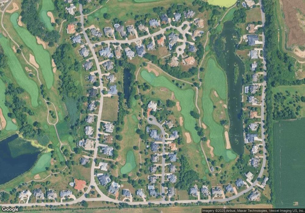
Map
Nearby Homes
- 7 Loblolly Ct
- 12723 Caruso Ct
- 12744 Caruso Ct
- 12624 Derry Dr
- 12652 Derby Rd
- 12644 Derry Dr Unit 34201
- 12656 Derry Dr Unit 34402
- 12655 Derry Dr
- 12659 Derry Dr
- 12585 Eileen St
- 12464 Portrush Ln
- 12456 Portrush Ln
- 12554 Eileen St
- 13815 Mccarthy Rd
- 12444 Portrush Ln
- 12538 Eileen St
- 12440 Portrush Ln
- 12766 Corbett Ct
- 12758 Corbett Ct
- 12750 Corbett Ct
- 15 Firethorn Ct
- 12 Firethorn Ct
- 11 Firethorn Ct
- 10 Firethorn Ct
- 25 Ruffled Feathers Dr
- 9 Firethorn Ct
- 17 Loblolly Ct
- 19 Ruffled Feathers Dr
- 8 Firethorn Ct
- 7 Firethorn Ct
- 19 Loblolly Ct
- 5 Loblolly Ct
- 9 Loblolly Ct
- 29 Ruffled Feathers Dr
- 70 Ruffled Feathers Dr
- 6 Firethorn Ct
- 22 Ruffled Feathers Dr
- 3 Loblolly Ct
- 11 Loblolly Ct
- 24 Ruffled Feathers Dr