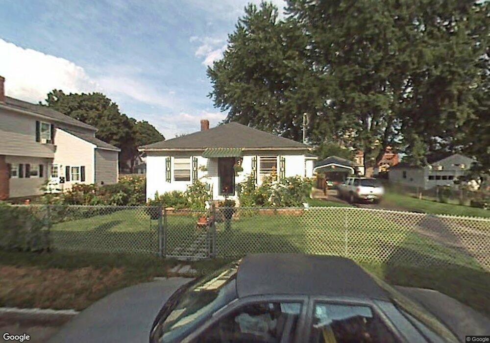
19 Foster Ave Manchester, NH 03103
Hallsville NeighborhoodEstimated Value: $435,000 - $462,748
5
Beds
3
Baths
1,750
Sq Ft
$257/Sq Ft
Est. Value
About This Home
This home is located at 19 Foster Ave, Manchester, NH 03103 and is currently estimated at $449,937, approximately $257 per square foot. 19 Foster Ave is a home located in Hillsborough County with nearby schools including Jewett Street Elementary School, Southside Middle School, and Manchester Memorial High School.
Ownership History
Date
Name
Owned For
Owner Type
Purchase Details
Closed on
Aug 17, 2011
Sold by
Barton Ronald R and Barton Judith M
Bought by
Farley Daniel J and Farley Linda A
Current Estimated Value
Purchase Details
Closed on
Jan 8, 2002
Sold by
Barton Lillian V Est
Bought by
Barton Ronald R and Barton Judith M
Create a Home Valuation Report for This Property
The Home Valuation Report is an in-depth analysis detailing your home's value as well as a comparison with similar homes in the area
Home Values in the Area
Average Home Value in this Area
Purchase History
| Date | Buyer | Sale Price | Title Company |
|---|---|---|---|
| Farley Daniel J | $150,000 | -- | |
| Barton Ronald R | $105,000 | -- |
Source: Public Records
Mortgage History
| Date | Status | Borrower | Loan Amount |
|---|---|---|---|
| Open | Barton Ronald R | $88,000 | |
| Closed | Barton Ronald R | $91,800 | |
| Previous Owner | Barton Ronald R | $30,000 | |
| Previous Owner | Barton Ronald R | $150,000 |
Source: Public Records
Tax History Compared to Growth
Tax History
| Year | Tax Paid | Tax Assessment Tax Assessment Total Assessment is a certain percentage of the fair market value that is determined by local assessors to be the total taxable value of land and additions on the property. | Land | Improvement |
|---|---|---|---|---|
| 2024 | $6,489 | $331,400 | $89,200 | $242,200 |
| 2023 | $6,250 | $331,400 | $89,200 | $242,200 |
| 2022 | $6,045 | $331,400 | $89,200 | $242,200 |
| 2021 | $5,859 | $331,400 | $89,200 | $242,200 |
| 2020 | $5,711 | $218,700 | $61,500 | $157,200 |
| 2019 | $3,753 | $154,300 | $61,500 | $92,800 |
| 2018 | $5,358 | $154,300 | $61,500 | $92,800 |
| 2017 | $3,571 | $154,300 | $61,500 | $92,800 |
| 2016 | $3,571 | $154,300 | $61,500 | $92,800 |
| 2015 | $3,682 | $157,100 | $61,500 | $95,600 |
| 2014 | $3,692 | $157,100 | $61,500 | $95,600 |
| 2013 | $3,561 | $157,100 | $61,500 | $95,600 |
Source: Public Records
Map
Nearby Homes
- 335 Cypress St Unit 4A
- 335 Cypress St Unit 2P
- 201 Jewett St
- 165 Taylor St
- 10 Hayes Ave
- 80 Jewett St
- 173 Mammoth Rd
- 167 Mammoth Rd
- 635 Green St
- 651 Summer St
- 625 Green St
- 45 Gray St
- 64 Belmont St
- 146 Woodbine Ave
- 70 Ruth Ave
- 440 Laurel St
- 594 Dix St Unit 2
- 469 Cilley Rd
- 52 Mammoth Rd
- 203 Portsmouth Ave