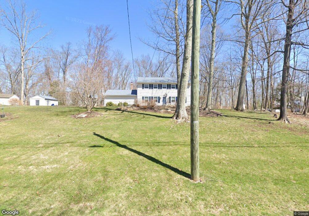
19 Freddys Ln Brookfield, CT 06804
Estimated Value: $586,081 - $682,000
4
Beds
3
Baths
2,192
Sq Ft
$293/Sq Ft
Est. Value
About This Home
This home is located at 19 Freddys Ln, Brookfield, CT 06804 and is currently estimated at $641,520, approximately $292 per square foot. 19 Freddys Ln is a home located in Fairfield County with nearby schools including Center Elementary School, Whisconier Middle School, and Brookfield High School.
Ownership History
Date
Name
Owned For
Owner Type
Purchase Details
Closed on
Apr 18, 1978
Bought by
Hayward Malcolm B and Hayward Shirley
Current Estimated Value
Create a Home Valuation Report for This Property
The Home Valuation Report is an in-depth analysis detailing your home's value as well as a comparison with similar homes in the area
Home Values in the Area
Average Home Value in this Area
Purchase History
| Date | Buyer | Sale Price | Title Company |
|---|---|---|---|
| Hayward Malcolm B | $88,000 | -- |
Source: Public Records
Mortgage History
| Date | Status | Borrower | Loan Amount |
|---|---|---|---|
| Open | Hayward Malcolm B | $200,000 | |
| Closed | Hayward Malcolm B | $200,000 | |
| Closed | Hayward Malcolm B | $50,000 |
Source: Public Records
Tax History Compared to Growth
Tax History
| Year | Tax Paid | Tax Assessment Tax Assessment Total Assessment is a certain percentage of the fair market value that is determined by local assessors to be the total taxable value of land and additions on the property. | Land | Improvement |
|---|---|---|---|---|
| 2025 | $7,779 | $268,880 | $101,490 | $167,390 |
| 2024 | $7,502 | $268,880 | $101,490 | $167,390 |
| 2023 | $7,222 | $268,880 | $101,490 | $167,390 |
| 2022 | $6,959 | $268,880 | $101,490 | $167,390 |
| 2021 | $6,565 | $218,090 | $112,770 | $105,320 |
| 2020 | $9,719 | $218,090 | $112,770 | $105,320 |
| 2019 | $6,355 | $218,090 | $112,770 | $105,320 |
| 2018 | $8,154 | $218,090 | $112,770 | $105,320 |
| 2017 | $5,952 | $218,090 | $112,770 | $105,320 |
| 2016 | $6,231 | $236,030 | $128,260 | $107,770 |
| 2015 | $6,066 | $236,030 | $128,260 | $107,770 |
| 2014 | $6,066 | $236,030 | $128,260 | $107,770 |
Source: Public Records
Map
Nearby Homes
- 99 Obtuse Hill Rd
- 19 A Apache Dr
- 6 Lyndenwood Dr
- 409 Northrop St
- 70 Obtuse Hill Rd
- 370 Northrop St
- 44 Obtuse Rd N
- 98A Tower Rd
- 21 Lillinonah Dr
- 9A Obtuse Rocks Rd
- 7 Hearthstone Dr
- 48 High Ridge Rd
- 205 Hanover Rd
- 27 Obtuse Rd S
- 5 Hidden Brook Dr
- 89 Iron Ore Hill Rd
- 11 Winding Rd
- 53 Tower Rd
- 4 Old Woods Rd
- 6 Old Woods Rd