19 Grant Rd Orrington, ME 04474
Estimated Value: $373,382 - $547,000
--
Bed
--
Bath
--
Sq Ft
4.05
Acres
About This Home
This home is located at 19 Grant Rd, Orrington, ME 04474 and is currently estimated at $435,596. 19 Grant Rd is a home located in Penobscot County with nearby schools including Center Drive School and Calvary Chapel Christian School.
Ownership History
Date
Name
Owned For
Owner Type
Purchase Details
Closed on
Oct 16, 2015
Sold by
Morin Matthew L Est
Bought by
Haskell Daniel C and Haskell Amy B
Current Estimated Value
Home Financials for this Owner
Home Financials are based on the most recent Mortgage that was taken out on this home.
Original Mortgage
$153,174
Interest Rate
3.75%
Mortgage Type
FHA
Purchase Details
Closed on
Jun 13, 2005
Sold by
Paine David and Paine Darlene
Bought by
Morin Matthew L and Morin Wendy
Home Financials for this Owner
Home Financials are based on the most recent Mortgage that was taken out on this home.
Original Mortgage
$154,000
Interest Rate
5.79%
Mortgage Type
Commercial
Purchase Details
Closed on
Feb 4, 2005
Sold by
Morin Wendy H
Bought by
Morin Wendy H and Morin Matthew L
Create a Home Valuation Report for This Property
The Home Valuation Report is an in-depth analysis detailing your home's value as well as a comparison with similar homes in the area
Home Values in the Area
Average Home Value in this Area
Purchase History
| Date | Buyer | Sale Price | Title Company |
|---|---|---|---|
| Haskell Daniel C | -- | -- | |
| Morin Matthew L | -- | -- | |
| Morin Wendy H | -- | -- |
Source: Public Records
Mortgage History
| Date | Status | Borrower | Loan Amount |
|---|---|---|---|
| Closed | Haskell Daniel C | $153,174 | |
| Previous Owner | Morin Matthew L | $154,000 |
Source: Public Records
Tax History Compared to Growth
Tax History
| Year | Tax Paid | Tax Assessment Tax Assessment Total Assessment is a certain percentage of the fair market value that is determined by local assessors to be the total taxable value of land and additions on the property. | Land | Improvement |
|---|---|---|---|---|
| 2024 | $3,524 | $323,300 | $49,600 | $273,700 |
| 2023 | $3,361 | $305,500 | $46,200 | $259,300 |
| 2022 | $3,477 | $272,700 | $46,200 | $226,500 |
| 2021 | $3,590 | $239,300 | $46,200 | $193,100 |
| 2020 | $1,725 | $228,300 | $46,200 | $182,100 |
| 2019 | $1,725 | $228,300 | $46,200 | $182,100 |
| 2018 | $1,481 | $228,300 | $46,200 | $182,100 |
| 2017 | $3,208 | $230,800 | $48,700 | $182,100 |
| 2016 | $1,378 | $198,000 | $33,100 | $164,900 |
Source: Public Records
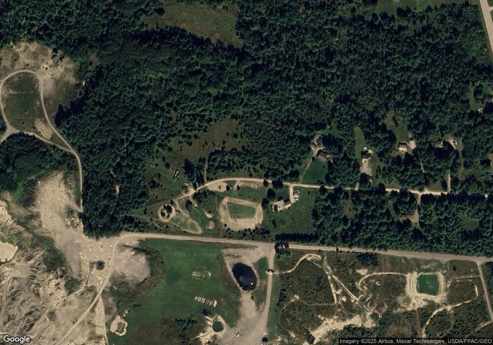
Map
Nearby Homes
- 15 Maine 15
- 1002 River Rd
- 40 Bartlett Cove Dr
- 38 Bartlett Cove Dr
- 93 Hopkins Rd
- 420 Main Rd S
- 342 Main Rd S
- 29 Foster Ave
- 48 & 50 Highland Ridge Dr
- 22 & 24 Highland Ridge Dr
- 55 & 57 Highland Ridge Dr
- 51 & 53 Highland Ridge Dr
- 16 & 18 Highland Ridge Dr
- 35 Highland Ridge Dr Unit 28
- 66 Foster Ave
- 238 Main Rd S
- 24 Granite Ledge Ln
- 1 Honey Hill Ln
- 63 Pleasant St
- 80 Settlers Way