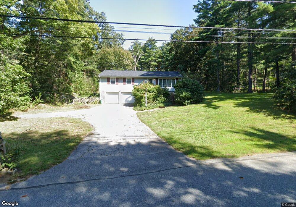
19 Great Rock Rd Sherborn, MA 01770
Estimated Value: $635,000 - $948,000
3
Beds
3
Baths
1,473
Sq Ft
$571/Sq Ft
Est. Value
About This Home
This home is located at 19 Great Rock Rd, Sherborn, MA 01770 and is currently estimated at $840,955, approximately $570 per square foot. 19 Great Rock Rd is a home located in Middlesex County with nearby schools including Pine Hill Elementary School, Dover-Sherborn Regional Middle School, and Dover-Sherborn Regional High School.
Ownership History
Date
Name
Owned For
Owner Type
Purchase Details
Closed on
Jan 5, 2005
Sold by
Curran Marietta Chace and Hopkins Marietta Chace
Bought by
Curran Marietta Chace
Current Estimated Value
Purchase Details
Closed on
Mar 12, 1999
Sold by
Nielsen Susan H
Bought by
Hopkins Marietta C
Create a Home Valuation Report for This Property
The Home Valuation Report is an in-depth analysis detailing your home's value as well as a comparison with similar homes in the area
Home Values in the Area
Average Home Value in this Area
Purchase History
| Date | Buyer | Sale Price | Title Company |
|---|---|---|---|
| Curran Marietta Chace | -- | -- | |
| Hopkins Marietta C | $347,000 | -- |
Source: Public Records
Mortgage History
| Date | Status | Borrower | Loan Amount |
|---|---|---|---|
| Previous Owner | Hopkins Marietta C | $55,000 | |
| Previous Owner | Hopkins Marietta C | $38,000 |
Source: Public Records
Tax History Compared to Growth
Tax History
| Year | Tax Paid | Tax Assessment Tax Assessment Total Assessment is a certain percentage of the fair market value that is determined by local assessors to be the total taxable value of land and additions on the property. | Land | Improvement |
|---|---|---|---|---|
| 2025 | $10,155 | $612,500 | $458,500 | $154,000 |
| 2024 | $9,821 | $579,400 | $406,300 | $173,100 |
| 2023 | $9,952 | $552,600 | $406,300 | $146,300 |
| 2022 | $9,936 | $522,100 | $395,800 | $126,300 |
| 2021 | $17,892 | $508,700 | $395,800 | $112,900 |
| 2020 | $9,767 | $501,900 | $395,800 | $106,100 |
| 2019 | $9,584 | $488,500 | $395,800 | $92,700 |
| 2018 | $9,233 | $478,400 | $395,800 | $82,600 |
| 2017 | $9,596 | $469,000 | $395,800 | $73,200 |
| 2016 | $9,647 | $469,000 | $395,800 | $73,200 |
| 2015 | $9,347 | $460,000 | $382,800 | $77,200 |
| 2014 | $8,996 | $442,300 | $370,800 | $71,500 |
Source: Public Records
Map
Nearby Homes
- 65 Farm Road Lot 6
- 14 Sewall Brook Ln
- 7 Fawn Rd
- 2 Surrey Ln
- 4 Green Ln
- 32 Lake St
- 105 N Main St
- 15 Wyndemere Ln
- 61 Old Orchard Rd
- 220 S Main St
- 53 Yorkshire Rd
- 114 Farm St
- 18 Wildwood Dr
- 25 Yorkshire Rd
- 20 Nason Hill Rd
- 39 Indian Ridge Rd
- 8 Greystone Rd
- 16 Wayside Rd Unit 14
- 16 Wayside Rd
- 48 Graystone Ln
- 17 Great Rock Rd
- 23 Great Rock Rd
- 13 Great Rock Rd
- 20 Great Rock Rd
- 22 Great Rock Rd
- 3 Peckham Hill Rd
- 25 Great Rock Rd
- 60 Farm Rd
- 24 Great Rock Rd
- 10 Great Rock Rd
- 9 Great Rock Rd
- 29 Great Rock Rd
- 5 Peckham Hill Rd
- 28 Great Rock Rd
- 58 Farm Rd
- 54 Farm Rd
- 6 Peckham Hill Rd
- 8 Great Rock Rd
- 31 Great Rock Rd
- 7 Peckham Hill Rd