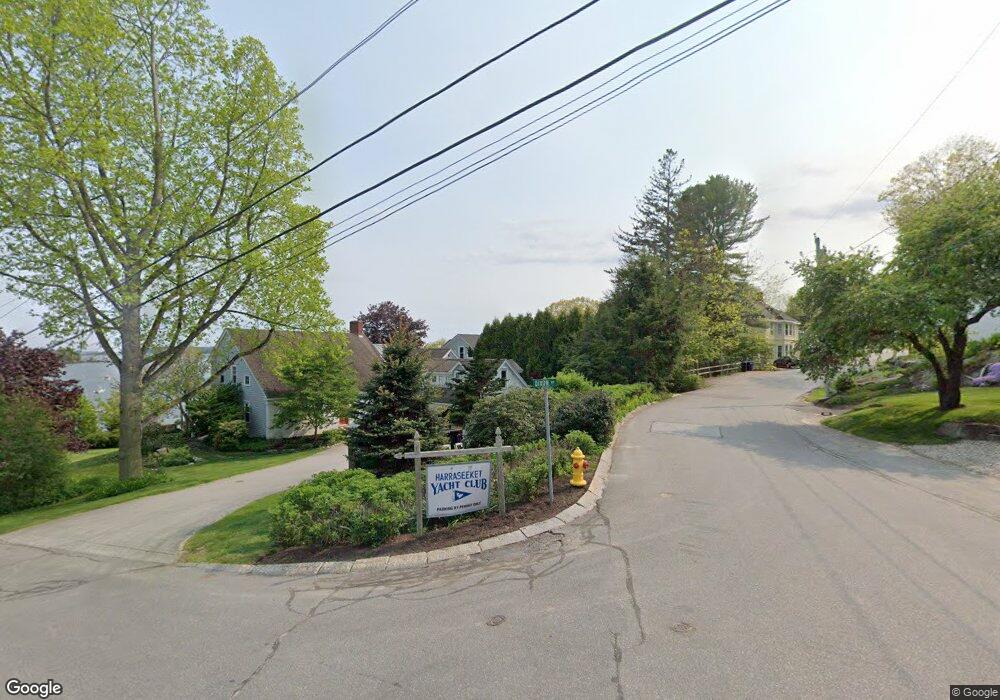
19 Harraseeket Rd Freeport, ME 04032
Estimated Value: $984,000 - $2,785,346
4
Beds
3
Baths
2,658
Sq Ft
$688/Sq Ft
Est. Value
About This Home
This home is located at 19 Harraseeket Rd, Freeport, ME 04032 and is currently estimated at $1,827,782, approximately $687 per square foot. 19 Harraseeket Rd is a home located in Cumberland County with nearby schools including Morse Street School, Mast Landing School, and Freeport Middle School.
Ownership History
Date
Name
Owned For
Owner Type
Purchase Details
Closed on
May 17, 2024
Sold by
Winter Meredeth M
Bought by
Mccredie Miles
Current Estimated Value
Purchase Details
Closed on
Jun 21, 2006
Sold by
Rines Clayton S Est and Boutin
Bought by
Mccredie Marian M
Create a Home Valuation Report for This Property
The Home Valuation Report is an in-depth analysis detailing your home's value as well as a comparison with similar homes in the area
Home Values in the Area
Average Home Value in this Area
Purchase History
| Date | Buyer | Sale Price | Title Company |
|---|---|---|---|
| Mccredie Miles | -- | None Available | |
| Mccredie Miles | -- | None Available | |
| Mccredie Miles | -- | None Available | |
| Mccredie Marian M | -- | -- | |
| Mccredie Marian M | -- | -- | |
| Mccredie Marian M | -- | -- |
Source: Public Records
Tax History
| Year | Tax Paid | Tax Assessment Tax Assessment Total Assessment is a certain percentage of the fair market value that is determined by local assessors to be the total taxable value of land and additions on the property. | Land | Improvement |
|---|---|---|---|---|
| 2025 | $28,257 | $2,040,200 | $1,341,800 | $698,400 |
| 2024 | $26,385 | $1,976,400 | $1,278,000 | $698,400 |
| 2023 | $24,299 | $1,767,200 | $1,161,900 | $605,300 |
| 2022 | $22,719 | $1,664,400 | $1,037,400 | $627,000 |
| 2021 | $22,451 | $1,681,700 | $1,054,700 | $627,000 |
| 2020 | $3,477 | $1,553,200 | $976,500 | $576,700 |
| 2019 | $21,004 | $1,468,800 | $921,300 | $547,500 |
| 2018 | $20,078 | $1,334,100 | $822,000 | $512,100 |
| 2017 | $19,362 | $1,295,100 | $805,900 | $489,200 |
| 2016 | $18,391 | $1,164,000 | $713,000 | $451,000 |
| 2015 | $18,154 | $1,080,600 | $652,400 | $428,200 |
| 2014 | $17,073 | $1,080,600 | $652,400 | $428,200 |
| 2013 | $16,474 | $1,039,400 | $621,800 | $417,600 |
Source: Public Records
Map
Nearby Homes
- 20 Harvest Ridge Rd Unit 23
- 26 Harvest Ridge Rd Unit 24
- 15 Linwood Rd Unit 15
- 67 Farmview Ln
- 200 Sisquisic Trail
- 58 Maquoit Dr
- 203 Bluff Rd Unit 13
- 10 Durham Rd
- 212 Main St
- 11 Orchard Hill Rd
- 52 Blueberry Cove Rd Unit 52
- 9 Gables Dr Unit 9
- 6 Daybreak Ln Unit 18
- 0 Bayview St
- 172 E Main St
- 42 Durham Rd
- 5 Arrowhead Ridge Rd
- 304 Pownal Rd
- 109 Melissa Dr
- 86 Pleasant St
- 2 Dixon Rd
- 21 Harraseeket Rd
- 14 Harraseeket Rd
- 23 Harraseeket Rd
- 12 Park St S
- 0 Main St S Unit 849477
- 0 Main St S Unit 774838
- 0 Main St S Unit LOT 1 717227
- 0 Main St S Unit LOT 2 717223
- 22 Main St S
- 24 Main St S
- 0 Main St S
- 0 Main St S Unit 1144104
- 4 Dixon Rd
- 3 Dixon Rd
- 25 Harraseeket Rd
- 12 Talbot Way
- 12 Harraseeket Rd
- 22 Harraseeket Rd
- 15 Harraseeket Road -- South Free
Your Personal Tour Guide
Ask me questions while you tour the home.