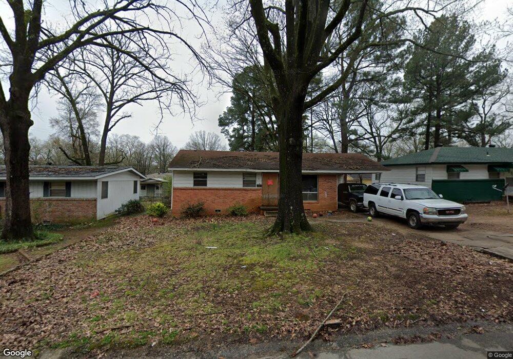
19 Harrow Dr Little Rock, AR 72209
Wakefield NeighborhoodEstimated Value: $75,000 - $100,000
--
Bed
1
Bath
875
Sq Ft
$100/Sq Ft
Est. Value
About This Home
This home is located at 19 Harrow Dr, Little Rock, AR 72209 and is currently estimated at $87,622, approximately $100 per square foot. 19 Harrow Dr is a home located in Pulaski County with nearby schools including Wakefield Elementary School, Cloverdale Middle School, and Little Rock Southwest High School.
Ownership History
Date
Name
Owned For
Owner Type
Purchase Details
Closed on
Aug 29, 2003
Sold by
King Jason
Bought by
King Jason and King Teresa A
Current Estimated Value
Home Financials for this Owner
Home Financials are based on the most recent Mortgage that was taken out on this home.
Original Mortgage
$33,350
Outstanding Balance
$15,176
Interest Rate
6.08%
Mortgage Type
VA
Estimated Equity
$72,446
Purchase Details
Closed on
Sep 11, 1998
Sold by
Garza Larry and Garza Lorie A
Bought by
Wren Jeanne A
Purchase Details
Closed on
Feb 13, 1997
Sold by
Reynolds Lucille
Bought by
King Jason
Home Financials for this Owner
Home Financials are based on the most recent Mortgage that was taken out on this home.
Original Mortgage
$32,650
Interest Rate
7.68%
Mortgage Type
VA
Create a Home Valuation Report for This Property
The Home Valuation Report is an in-depth analysis detailing your home's value as well as a comparison with similar homes in the area
Home Values in the Area
Average Home Value in this Area
Purchase History
| Date | Buyer | Sale Price | Title Company |
|---|---|---|---|
| King Jason | -- | Transcontinental Title Co | |
| Wren Jeanne A | -- | -- | |
| King Jason | $32,000 | Lenders Title Company |
Source: Public Records
Mortgage History
| Date | Status | Borrower | Loan Amount |
|---|---|---|---|
| Open | King Jason | $33,350 | |
| Previous Owner | King Jason | $32,650 |
Source: Public Records
Tax History Compared to Growth
Tax History
| Year | Tax Paid | Tax Assessment Tax Assessment Total Assessment is a certain percentage of the fair market value that is determined by local assessors to be the total taxable value of land and additions on the property. | Land | Improvement |
|---|---|---|---|---|
| 2025 | $1,010 | $14,433 | $1,000 | $13,433 |
| 2024 | $110 | $14,433 | $1,000 | $13,433 |
| 2023 | $110 | $1,575 | $1,000 | $575 |
| 2022 | $110 | $2,858 | $1,000 | $1,858 |
| 2021 | $76 | $1,075 | $500 | $575 |
| 2020 | $75 | $1,075 | $500 | $575 |
| 2019 | $75 | $1,075 | $500 | $575 |
| 2018 | $80 | $6,140 | $500 | $5,640 |
| 2017 | $80 | $6,140 | $500 | $5,640 |
| 2016 | $171 | $7,440 | $1,800 | $5,640 |
| 2015 | $512 | $7,440 | $1,800 | $5,640 |
| 2014 | $512 | $7,310 | $1,800 | $5,510 |
Source: Public Records
Map
Nearby Homes
- 29 Rugby Dr
- 37 Sheffield Dr
- 19 Daven Ct
- 22 Daven Ct
- 14 Mansfield Dr
- 31 Allyson Cir
- 40 Wellford Dr
- 000 Young Rd
- 7 Linkay Ct
- 5303 W 57th St
- 4623 Stratton Ave
- 8301 Stanton Rd
- 7102 Geyer Springs Rd
- 4905 Gum Springs Rd Unit 4907 Gum Springs Rd
- 4712 Gum Springs Rd
- 5419 Western Ln
- 5900-5908 Geyer Springs
- 8406 Dreher Ln
- 48 Rosemoor Dr
- 00 S University Ave