Estimated Value: $1,863,000 - $2,132,000
3
Beds
4
Baths
3,033
Sq Ft
$655/Sq Ft
Est. Value
About This Home
This home is located at 19 Jason Ave, Wells, ME 04090 and is currently estimated at $1,985,983, approximately $654 per square foot. 19 Jason Ave is a home with nearby schools including Wells Junior High School, Wells Elementary School, and Wells High School.
Ownership History
Date
Name
Owned For
Owner Type
Purchase Details
Closed on
Dec 10, 2022
Sold by
Levasseur Casandra
Bought by
Levasseur Tracey
Current Estimated Value
Purchase Details
Closed on
Dec 23, 2009
Sold by
Ragonese Thomas A and Ragonese Pamela S
Bought by
Ragonese Pamela S
Create a Home Valuation Report for This Property
The Home Valuation Report is an in-depth analysis detailing your home's value as well as a comparison with similar homes in the area
Home Values in the Area
Average Home Value in this Area
Purchase History
| Date | Buyer | Sale Price | Title Company |
|---|---|---|---|
| Levasseur Tracey | -- | None Available | |
| Levasseur Tracey | -- | None Available | |
| Ragonese Pamela S | -- | -- | |
| Ragonese Pamela S | -- | -- |
Source: Public Records
Mortgage History
| Date | Status | Borrower | Loan Amount |
|---|---|---|---|
| Previous Owner | Ragonese Pamela S | $417,000 | |
| Previous Owner | Ragonese Pamela S | $500,000 |
Source: Public Records
Tax History Compared to Growth
Tax History
| Year | Tax Paid | Tax Assessment Tax Assessment Total Assessment is a certain percentage of the fair market value that is determined by local assessors to be the total taxable value of land and additions on the property. | Land | Improvement |
|---|---|---|---|---|
| 2024 | $9,283 | $1,526,800 | $746,820 | $779,980 |
| 2023 | $9,100 | $1,526,800 | $746,820 | $779,980 |
| 2022 | $9,212 | $880,650 | $342,200 | $538,450 |
| 2021 | $9,264 | $880,650 | $342,200 | $538,450 |
| 2020 | $9,229 | $880,650 | $342,200 | $538,450 |
| 2019 | $9,176 | $880,650 | $342,200 | $538,450 |
| 2018 | $9,088 | $880,650 | $342,200 | $538,450 |
| 2017 | $8,947 | $880,650 | $342,200 | $538,450 |
| 2016 | $8,859 | $880,650 | $342,200 | $538,450 |
| 2015 | $8,446 | $848,820 | $342,200 | $506,620 |
| 2013 | $7,741 | $848,820 | $342,200 | $506,620 |
Source: Public Records
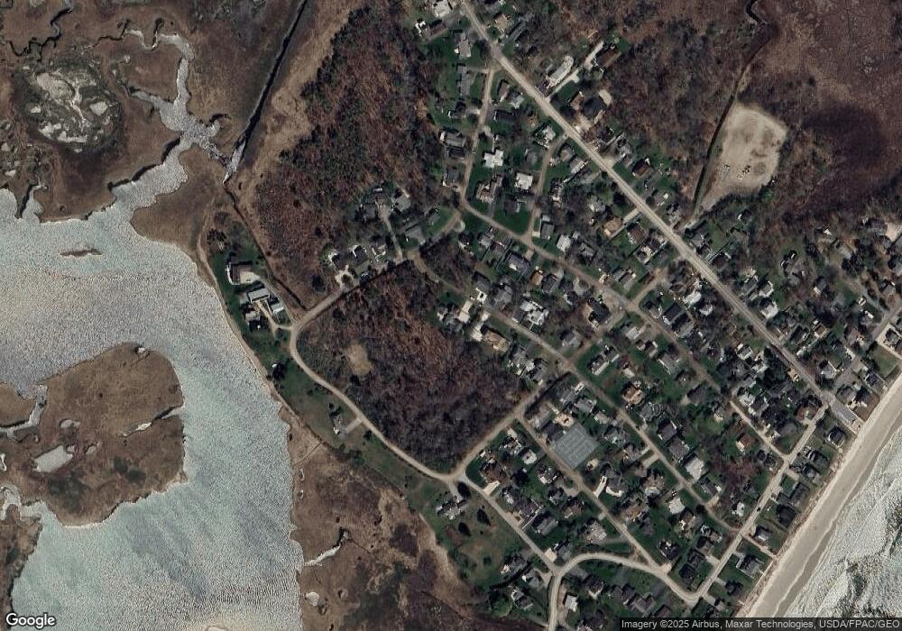
Map
Nearby Homes
- 475 Drakes Island Rd
- 163 Island Beach Rd
- 22 Saints Place
- 500 Atlantic Ave Unit 2
- 446 Atlantic Ave
- 9 Robert Ln
- 1801 Post Rd Unit 143
- 1801 Post Rd Unit 110
- 1830 Post Rd
- 2073 Post Rd Unit 34T
- 2073 Post Rd Unit 5
- 238 Laudholm Farm Rd
- 43 Sylvan Way Unit 10
- 1733 Post Rd
- 2090 Post Rd Unit 4B
- 54 Blacksmith Rd Unit 11D
- 1762 Post Rd Unit 209
- 229 Atlantic Ave
- 35 Burnt Mill Rd Unit B
- 23 Chestnut Ln Unit 30