Estimated Value: $329,000 - $448,000
3
Beds
2
Baths
1,486
Sq Ft
$271/Sq Ft
Est. Value
About This Home
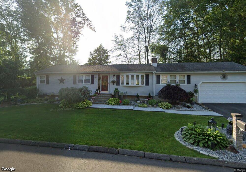
This home is located at 19 Kindle Ln, Derby, CT 06418 and is currently estimated at $403,277, approximately $271 per square foot. 19 Kindle Ln is a home located in New Haven County with nearby schools including Derby Middle School, Derby High School, and St Mary & St Michael School.
Ownership History
Date
Name
Owned For
Owner Type
Purchase Details
Closed on
Feb 5, 2024
Sold by
Desimone Richard A and Desimone Eva S
Bought by
Kindle Lane Llc
Current Estimated Value
Purchase Details
Closed on
Mar 5, 1979
Bought by
Desimone Richard A and Desimone Eva S
Create a Home Valuation Report for This Property
The Home Valuation Report is an in-depth analysis detailing your home's value as well as a comparison with similar homes in the area
Home Values in the Area
Average Home Value in this Area
Purchase History
| Date | Buyer | Sale Price | Title Company |
|---|---|---|---|
| Kindle Lane Llc | -- | None Available | |
| Desimone Richard A | -- | -- |
Source: Public Records
Mortgage History
| Date | Status | Borrower | Loan Amount |
|---|---|---|---|
| Previous Owner | Desimone Richard A | $180,000 | |
| Previous Owner | Desimone Richard A | $303,000 | |
| Previous Owner | Desimone Richard A | $146,000 |
Source: Public Records
Tax History Compared to Growth
Tax History
| Year | Tax Paid | Tax Assessment Tax Assessment Total Assessment is a certain percentage of the fair market value that is determined by local assessors to be the total taxable value of land and additions on the property. | Land | Improvement |
|---|---|---|---|---|
| 2025 | $7,560 | $175,000 | $38,600 | $136,400 |
| 2024 | $7,560 | $175,000 | $38,570 | $136,430 |
| 2023 | $6,755 | $175,000 | $38,570 | $136,430 |
| 2022 | $6,755 | $175,000 | $38,570 | $136,430 |
| 2021 | $6,755 | $175,000 | $38,570 | $136,430 |
| 2020 | $6,538 | $149,030 | $38,570 | $110,460 |
| 2019 | $6,240 | $149,030 | $38,570 | $110,460 |
| 2018 | $5,867 | $149,030 | $38,570 | $110,460 |
| 2017 | $5,867 | $149,030 | $38,570 | $110,460 |
| 2016 | $5,867 | $149,030 | $38,570 | $110,460 |
| 2015 | $5,699 | $159,460 | $38,570 | $120,890 |
| 2014 | $5,699 | $159,460 | $38,570 | $120,890 |
Source: Public Records
Map
Nearby Homes
- 111 High St
- 1 Lombardi Dr
- 10 Bank St Unit 12
- 17 Commodore Commons Unit 17
- 45 Sherwood Ave
- 196 New Haven Ave Unit 322
- 196 New Haven Ave Unit 101
- 1 Bank St
- 83 Myrtle St Unit BLDG 2, 5
- 100 Mount Pleasant St
- 204 New Haven Ave Unit 7E
- 28 Edgewood Ave
- 3 Windward Way Unit 3
- 4 Windward Way Unit 4
- 5 Windward Way Unit 5
- 1 Windward Way Unit 1
- 6 Windward Way Unit 6
- 32 Spindrift Ln Unit 32
- 0 Harvard Ave
- 997 Rainbow Trail