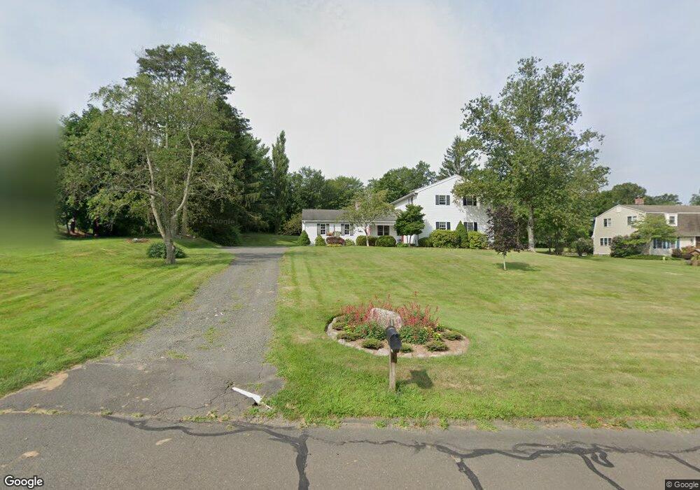
19 Laurel Grove Dr Higganum, CT 06441
Estimated Value: $520,478 - $650,000
4
Beds
3
Baths
2,346
Sq Ft
$241/Sq Ft
Est. Value
About This Home
This home is located at 19 Laurel Grove Dr, Higganum, CT 06441 and is currently estimated at $566,370, approximately $241 per square foot. 19 Laurel Grove Dr is a home located in Middlesex County with nearby schools including Haddam-Killingworth High School.
Ownership History
Date
Name
Owned For
Owner Type
Purchase Details
Closed on
Nov 9, 2015
Sold by
Petrilli Diane M
Bought by
Petrilli Christian A and Petrilli Diane M
Current Estimated Value
Purchase Details
Closed on
Aug 28, 1997
Sold by
Hawkins Robert H and Hawkins Barbara W
Bought by
Petrilli Christian A and Petrilli Diane M
Home Financials for this Owner
Home Financials are based on the most recent Mortgage that was taken out on this home.
Original Mortgage
$166,200
Interest Rate
7.41%
Mortgage Type
Unknown
Create a Home Valuation Report for This Property
The Home Valuation Report is an in-depth analysis detailing your home's value as well as a comparison with similar homes in the area
Home Values in the Area
Average Home Value in this Area
Purchase History
| Date | Buyer | Sale Price | Title Company |
|---|---|---|---|
| Petrilli Christian A | -- | -- | |
| Petrilli Christian A | $184,700 | -- |
Source: Public Records
Mortgage History
| Date | Status | Borrower | Loan Amount |
|---|---|---|---|
| Previous Owner | Petrilli Christian A | $195,300 | |
| Previous Owner | Petrilli Christian A | $190,000 | |
| Previous Owner | Petrilli Christian A | $166,200 | |
| Previous Owner | Petrilli Christian A | $50,000 |
Source: Public Records
Tax History Compared to Growth
Tax History
| Year | Tax Paid | Tax Assessment Tax Assessment Total Assessment is a certain percentage of the fair market value that is determined by local assessors to be the total taxable value of land and additions on the property. | Land | Improvement |
|---|---|---|---|---|
| 2025 | $7,198 | $209,560 | $69,300 | $140,260 |
| 2024 | $7,198 | $209,560 | $69,300 | $140,260 |
| 2023 | $7,098 | $209,560 | $69,300 | $140,260 |
| 2022 | $6,775 | $209,560 | $69,300 | $140,260 |
| 2021 | $6,739 | $209,560 | $69,300 | $140,260 |
| 2020 | $6,570 | $207,320 | $82,940 | $124,380 |
| 2019 | $6,570 | $207,320 | $82,940 | $124,380 |
| 2018 | $6,570 | $207,320 | $82,940 | $124,380 |
| 2017 | $6,570 | $207,320 | $82,940 | $124,380 |
| 2016 | $6,468 | $207,320 | $82,940 | $124,380 |
| 2015 | $7,072 | $226,660 | $82,940 | $143,720 |
| 2014 | $7,002 | $226,660 | $82,940 | $143,720 |
Source: Public Records
Map
Nearby Homes
- 34 Skunk Misery Rd
- 206 Little City Rd
- 45 Summersweet Dr
- Lots 1 & 2 Jackson Rd
- 12 Jackson Rd
- 3 Copley Rd
- 0 Little City Rd
- 279 Pokorny Rd
- 82 Jacoby Rd
- 28 Fieldstone Ln
- 25 Route 79
- 36 Meadow Rd
- 311 Oxbow Rd
- 593 Route 148
- 8 Little City Rd
- 0 S Dish Mill Rd Unit 24082788
- 193 Emanuel Church Rd
- 42 Pine Ledge Trail
- 16 Devonshire Ln
- 204 Old Blue Hills Rd
- 25 Laurel Grove Dr
- 15 Laurel Grove Dr
- 31 Laurel Grove Dr
- 26 Indian Hill Rd
- 18 Laurel Grove Dr
- 28 Laurel Grove Dr
- 46 Sima Rd
- 40 Sima Rd
- 37 Laurel Grove Dr
- 34 Laurel Grove Dr
- 11 Indian Hill Rd
- 21 Indian Hill Rd
- 52 Sima Rd
- 3 Reisman Trail
- 46 Laurel Grove Dr
- 43 Laurel Grove Dr
- 32 Sima Rd
- 44 Indian Hill Rd
- 33 Indian Hill Rd
- 10 Reisman Trail