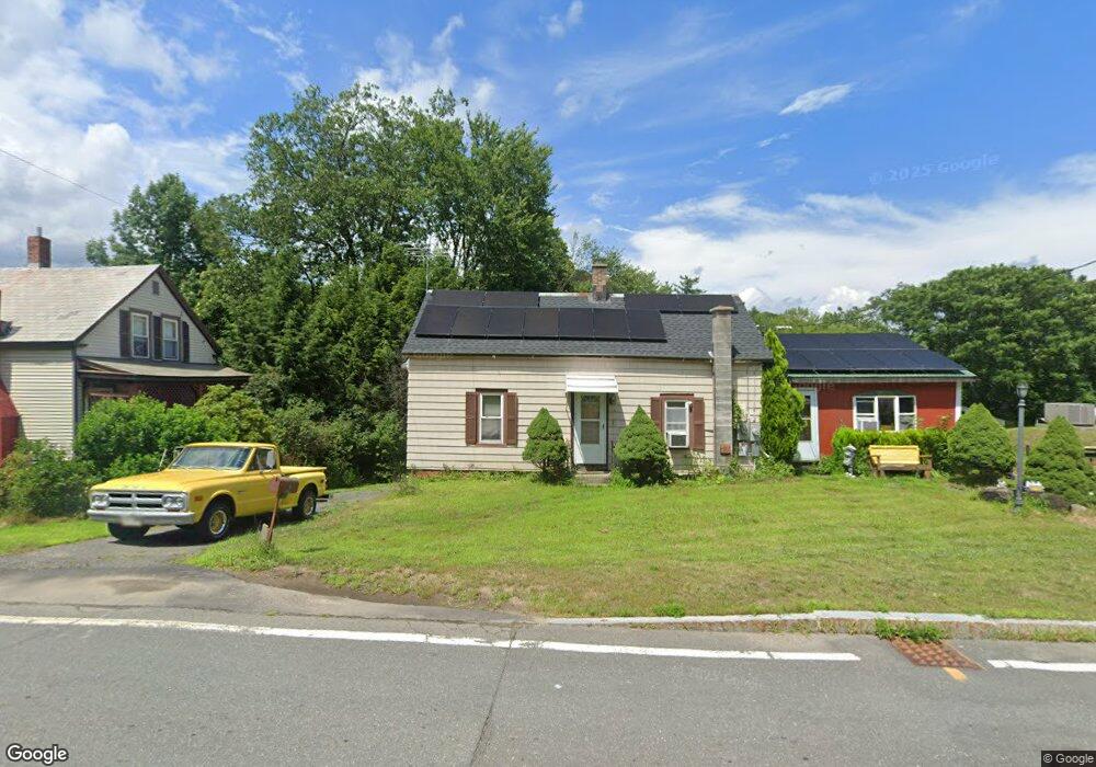
19 Main Rd Colrain, MA 01340
Colrain NeighborhoodEstimated Value: $206,773 - $304,000
3
Beds
1
Bath
1,343
Sq Ft
$177/Sq Ft
Est. Value
About This Home
This home is located at 19 Main Rd, Colrain, MA 01340 and is currently estimated at $237,693, approximately $176 per square foot. 19 Main Rd is a home located in Franklin County with nearby schools including Mohawk Trail Regional High School.
Create a Home Valuation Report for This Property
The Home Valuation Report is an in-depth analysis detailing your home's value as well as a comparison with similar homes in the area
Home Values in the Area
Average Home Value in this Area
Tax History
| Year | Tax Paid | Tax Assessment Tax Assessment Total Assessment is a certain percentage of the fair market value that is determined by local assessors to be the total taxable value of land and additions on the property. | Land | Improvement |
|---|---|---|---|---|
| 2025 | $2,620 | $143,500 | $27,400 | $116,100 |
| 2024 | $2,642 | $139,200 | $27,400 | $111,800 |
| 2023 | $2,668 | $135,900 | $27,400 | $108,500 |
| 2022 | $2,316 | $113,100 | $27,400 | $85,700 |
| 2021 | $2,393 | $113,100 | $27,400 | $85,700 |
| 2020 | $2,254 | $113,100 | $27,400 | $85,700 |
| 2019 | $2,102 | $102,200 | $21,900 | $80,300 |
| 2018 | $1,836 | $90,700 | $16,000 | $74,700 |
| 2017 | $1,787 | $90,700 | $16,000 | $74,700 |
| 2016 | $1,694 | $90,700 | $16,000 | $74,700 |
| 2015 | $1,641 | $90,700 | $16,000 | $74,700 |
Source: Public Records
Map
Nearby Homes
- 295 Jacksonville Rd
- 71 George Lamb Rd
- 00 Brook Rd
- 319 Greenfield Rd
- 151 Smead Hill Rd
- 2155 Massachusetts 2
- 2151 Route 2
- 8 Deer Run Path
- 10 Deerfield Ave Unit 5
- 10 Deerfield Ave Unit 2
- 0 W Oxbow Rd Unit 73453651
- 0 W Oxbow Rd Unit 248444
- 187 Plain Rd
- 251 Phillips Hill Rd
- 24 W Oxbow Rd
- 31 W Oxbow Rd
- 34 Brookside Ave
- 83 Eden Trail Branch
- 102 Elm St
- 829 Pennel Hill Rd
