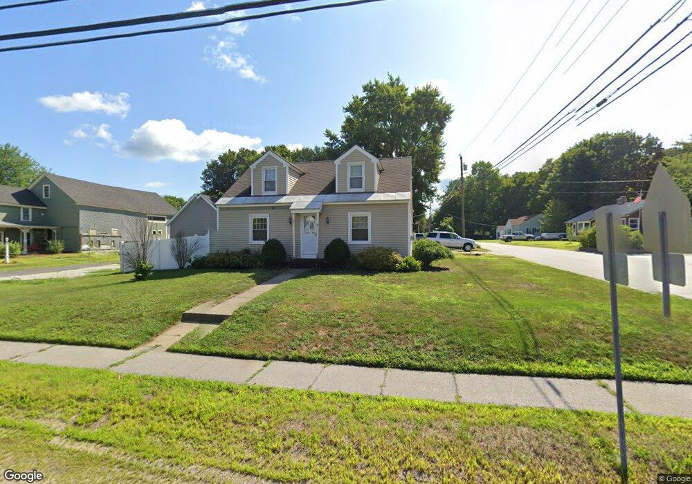
19 Main St Allenstown, NH 03275
Suncook NeighborhoodEstimated Value: $384,000 - $425,000
4
Beds
2
Baths
1,820
Sq Ft
$225/Sq Ft
Est. Value
About This Home
This home is located at 19 Main St, Allenstown, NH 03275 and is currently estimated at $409,123, approximately $224 per square foot. 19 Main St is a home located in Merrimack County with nearby schools including Allenstown Elementary School, Armand R. Dupont School, and Tender Years Child Care & Learning Center.
Ownership History
Date
Name
Owned For
Owner Type
Purchase Details
Closed on
Feb 4, 1997
Sold by
Broderick Evelyn L
Bought by
Halle Rose M
Current Estimated Value
Home Financials for this Owner
Home Financials are based on the most recent Mortgage that was taken out on this home.
Original Mortgage
$75,665
Interest Rate
7.65%
Create a Home Valuation Report for This Property
The Home Valuation Report is an in-depth analysis detailing your home's value as well as a comparison with similar homes in the area
Home Values in the Area
Average Home Value in this Area
Purchase History
| Date | Buyer | Sale Price | Title Company |
|---|---|---|---|
| Halle Rose M | $80,000 | -- |
Source: Public Records
Mortgage History
| Date | Status | Borrower | Loan Amount |
|---|---|---|---|
| Open | Halle Rose M | $90,580 | |
| Closed | Halle Rose M | $75,665 |
Source: Public Records
Tax History Compared to Growth
Tax History
| Year | Tax Paid | Tax Assessment Tax Assessment Total Assessment is a certain percentage of the fair market value that is determined by local assessors to be the total taxable value of land and additions on the property. | Land | Improvement |
|---|---|---|---|---|
| 2024 | $8,513 | $334,900 | $131,100 | $203,800 |
| 2023 | $7,100 | $334,900 | $131,100 | $203,800 |
| 2022 | $6,531 | $334,900 | $131,100 | $203,800 |
| 2021 | $5,667 | $179,900 | $73,800 | $106,100 |
| 2020 | $5,271 | $179,900 | $73,800 | $106,100 |
| 2019 | $5,595 | $179,900 | $73,800 | $106,100 |
| 2018 | $5,424 | $179,900 | $73,800 | $106,100 |
| 2017 | $5,777 | $179,900 | $73,800 | $106,100 |
| 2016 | $5,292 | $156,300 | $56,500 | $99,800 |
| 2015 | $5,131 | $156,300 | $56,500 | $99,800 |
| 2014 | $5,280 | $156,300 | $56,500 | $99,800 |
| 2013 | $5,026 | $159,400 | $56,500 | $102,900 |
Source: Public Records
Map
Nearby Homes
- 15 Main St
- 4 Rodger Rd
- 7 Ferry St
- 422 Dawn Dr Unit 23
- 427 Dawn Dr Unit 15
- 100 Main St Unit M10
- 100 Main St Unit 204
- 111 Glass St
- 12-14 Church St Unit 12,14
- 1 1/2 Bartlett St
- 19 Sullivan Dr
- 10 Lane Dr
- 2 Cheryl Dr
- 1821 Hooksett Rd
- 15 Sullivan Dr
- 233 Pembroke St
- 307 Dearborn Rd
- 259 Pembroke St
- 62 Pine St
- 10 Winchester Ct