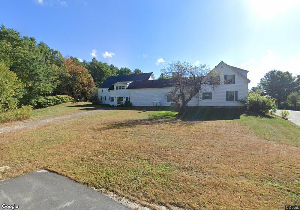
19 Marshall Rd New Gloucester, ME 04260
Estimated Value: $507,000 - $590,000
4
Beds
3
Baths
1,086
Sq Ft
$501/Sq Ft
Est. Value
About This Home
This home is located at 19 Marshall Rd, New Gloucester, ME 04260 and is currently estimated at $544,294, approximately $501 per square foot. 19 Marshall Rd is a home located in Cumberland County with nearby schools including Gray-New Gloucester High School.
Ownership History
Date
Name
Owned For
Owner Type
Purchase Details
Closed on
May 19, 2025
Sold by
Marshall Bethany
Bought by
Phillips Ryan and Phillips Amy
Current Estimated Value
Home Financials for this Owner
Home Financials are based on the most recent Mortgage that was taken out on this home.
Original Mortgage
$360,000
Outstanding Balance
$358,073
Interest Rate
6.64%
Mortgage Type
VA
Estimated Equity
$186,221
Create a Home Valuation Report for This Property
The Home Valuation Report is an in-depth analysis detailing your home's value as well as a comparison with similar homes in the area
Home Values in the Area
Average Home Value in this Area
Purchase History
| Date | Buyer | Sale Price | Title Company |
|---|---|---|---|
| Phillips Ryan | $510,000 | None Available | |
| Phillips Ryan | $510,000 | None Available |
Source: Public Records
Mortgage History
| Date | Status | Borrower | Loan Amount |
|---|---|---|---|
| Open | Phillips Ryan | $360,000 | |
| Closed | Phillips Ryan | $360,000 |
Source: Public Records
Tax History Compared to Growth
Tax History
| Year | Tax Paid | Tax Assessment Tax Assessment Total Assessment is a certain percentage of the fair market value that is determined by local assessors to be the total taxable value of land and additions on the property. | Land | Improvement |
|---|---|---|---|---|
| 2025 | $6,479 | $418,818 | $175,156 | $243,662 |
| 2024 | $6,236 | $418,818 | $175,156 | $243,662 |
| 2023 | $5,985 | $418,818 | $175,156 | $243,662 |
| 2022 | $5,780 | $418,818 | $175,156 | $243,662 |
| 2021 | $5,780 | $418,818 | $175,156 | $243,662 |
| 2020 | $7,961 | $418,818 | $175,156 | $243,662 |
| 2019 | $3,076 | $316,500 | $113,500 | $203,000 |
| 2018 | $4,685 | $316,500 | $113,500 | $203,000 |
| 2017 | $7,307 | $316,500 | $113,500 | $203,000 |
| 2016 | $2,767 | $316,500 | $113,500 | $203,000 |
| 2015 | $4,637 | $316,500 | $113,500 | $203,000 |
| 2014 | $4,589 | $316,500 | $113,500 | $203,000 |
| 2013 | $4,257 | $316,500 | $113,500 | $203,000 |
Source: Public Records
Map
Nearby Homes
- 284 Allen Rd
- 244 Allen Rd
- 026-01 Dow Ln
- 890 Elmwood Rd
- 850 Lawrence Rd
- 79 Birchwood Terrace
- 0 New Gloucester Rd
- 200 Woodman Rd
- 155 & 151 Gloucester Hill Rd
- 0018-C Gloucester Hill Rd
- 160 Gloucester Hill Rd
- 0 Mayall
- 238 Hallowell Rd
- 10 Cobbs Bridge Rd
- 395 New Gloucester Rd
- 99 Rangdale Rd
- 36 Blackthorne Ln
- 1 Blackthorne Ln
- 118 Royal Rd
- 38 Blackthorne Ln
- 14 Marshall Rd
- 40 Dougherty Rd
- 70 Dougherty Rd
- 14 Dougherty Rd
- 57 Dougherty Rd
- 1120 Intervale Rd
- 1204 Intervale Rd
- 1148 Intervale Rd
- 1159 Intervale Rd
- 1169 Intervale Rd
- 1130 Intervale Rd
- 97 Dougherty Rd
- 1224 Intervale Rd
- 636 Penney Rd
- 1173 Intervale Rd
- 626 Penney Rd
- 643 Penney Rd
- 633B Penney Rd
- 614 Penney Rd
- 1248 Intervale Rd