19 Matthew Ln Mansfield, MA 02048
Estimated Value: $835,652 - $961,000
4
Beds
3
Baths
2,256
Sq Ft
$396/Sq Ft
Est. Value
About This Home
This home is located at 19 Matthew Ln, Mansfield, MA 02048 and is currently estimated at $892,663, approximately $395 per square foot. 19 Matthew Ln is a home located in Bristol County with nearby schools including Jordan/Jackson Elementary School, Everett W. Robinson Elementary School, and Harold L. Qualters Middle School.
Ownership History
Date
Name
Owned For
Owner Type
Purchase Details
Closed on
Oct 28, 1994
Sold by
Donovan John R and Donovan Natalie J
Bought by
Britting Lorraine L and Zimmerman David A
Current Estimated Value
Purchase Details
Closed on
Oct 16, 1992
Sold by
East Coast Dev Ltd
Bought by
Donovan John R and Donovan Natalie J
Create a Home Valuation Report for This Property
The Home Valuation Report is an in-depth analysis detailing your home's value as well as a comparison with similar homes in the area
Home Values in the Area
Average Home Value in this Area
Purchase History
| Date | Buyer | Sale Price | Title Company |
|---|---|---|---|
| Britting Lorraine L | $233,000 | -- | |
| Donovan John R | $193,400 | -- |
Source: Public Records
Mortgage History
| Date | Status | Borrower | Loan Amount |
|---|---|---|---|
| Open | Donovan John R | $85,500 | |
| Open | Donovan John R | $285,500 | |
| Closed | Donovan John R | $221,000 |
Source: Public Records
Tax History Compared to Growth
Tax History
| Year | Tax Paid | Tax Assessment Tax Assessment Total Assessment is a certain percentage of the fair market value that is determined by local assessors to be the total taxable value of land and additions on the property. | Land | Improvement |
|---|---|---|---|---|
| 2025 | $9,226 | $700,500 | $283,400 | $417,100 |
| 2024 | $9,144 | $677,300 | $295,800 | $381,500 |
| 2023 | $8,861 | $628,900 | $295,800 | $333,100 |
| 2022 | $8,424 | $555,300 | $273,800 | $281,500 |
| 2021 | $8,090 | $526,700 | $228,200 | $298,500 |
| 2020 | $7,969 | $518,800 | $228,200 | $290,600 |
| 2019 | $7,514 | $493,700 | $190,100 | $303,600 |
| 2018 | $2,914 | $479,400 | $181,300 | $298,100 |
| 2017 | $2,754 | $466,100 | $176,200 | $289,900 |
| 2016 | $6,714 | $435,700 | $167,700 | $268,000 |
| 2015 | $6,543 | $422,100 | $167,700 | $254,400 |
Source: Public Records
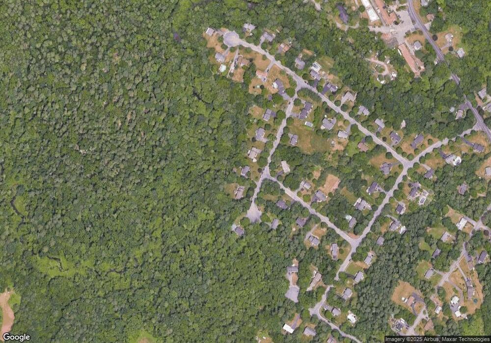
Map
Nearby Homes
- 212 Mill St
- 460 Ware St
- 571 Ware St
- 631 East St Unit E203
- 1308-1310 East St
- 16 Erick Rd Unit 34
- 0 Kensington Rd
- 151 Stearns Ave
- 148 Stearns Ave
- 157 Highland St
- 15 Coach Rd
- 46 Hope St
- 104 Newcomb St Unit E
- 18 Columbine Rd
- 34 Kevins Way
- 485-487 Stearns Ave
- 28 Court St
- 82 Brook St
- 26 Kathleen Grant Rd
- 0 Cobb St