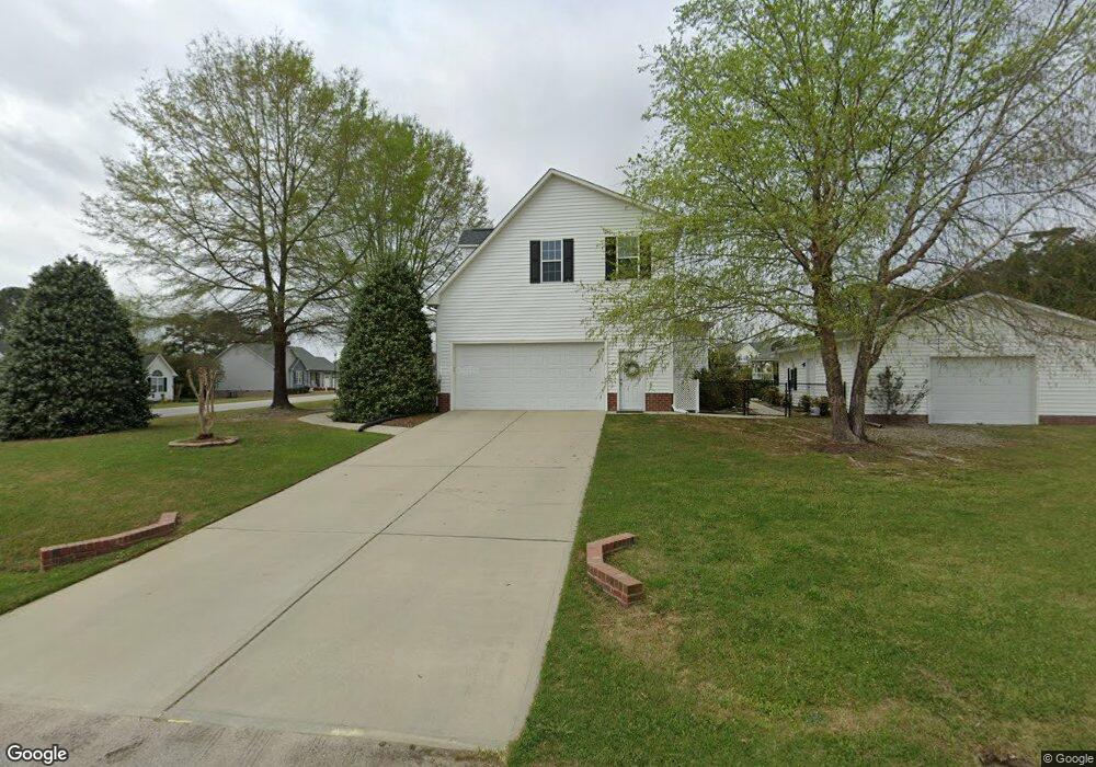
19 Mayfield Cir Willow Spring, NC 27592
Pleasant Grove NeighborhoodEstimated Value: $432,000 - $485,000
3
Beds
3
Baths
2,516
Sq Ft
$181/Sq Ft
Est. Value
About This Home
This home is located at 19 Mayfield Cir, Willow Spring, NC 27592 and is currently estimated at $455,364, approximately $180 per square foot. 19 Mayfield Cir is a home located in Johnston County with nearby schools including Dixon Road Elementary School, McGee's Crossroads Middle School, and West Johnston High School.
Ownership History
Date
Name
Owned For
Owner Type
Purchase Details
Closed on
Sep 25, 2015
Sold by
Foster Delton L and Foster Theresa G
Bought by
Loso Roy Joseph and Loso Virginia May
Current Estimated Value
Purchase Details
Closed on
Feb 9, 2010
Sold by
Cuddington A Wayne and Cuddington Mary K
Bought by
Foster Delton L and Foster Theresa G
Home Financials for this Owner
Home Financials are based on the most recent Mortgage that was taken out on this home.
Original Mortgage
$234,842
Interest Rate
5%
Mortgage Type
VA
Create a Home Valuation Report for This Property
The Home Valuation Report is an in-depth analysis detailing your home's value as well as a comparison with similar homes in the area
Home Values in the Area
Average Home Value in this Area
Purchase History
| Date | Buyer | Sale Price | Title Company |
|---|---|---|---|
| Loso Roy Joseph | $244,000 | None Available | |
| Foster Delton L | $230,000 | None Available |
Source: Public Records
Mortgage History
| Date | Status | Borrower | Loan Amount |
|---|---|---|---|
| Previous Owner | Foster Delton L | $234,842 |
Source: Public Records
Tax History
| Year | Tax Paid | Tax Assessment Tax Assessment Total Assessment is a certain percentage of the fair market value that is determined by local assessors to be the total taxable value of land and additions on the property. | Land | Improvement |
|---|---|---|---|---|
| 2025 | $2,656 | $418,250 | $75,000 | $343,250 |
| 2024 | $2,043 | $252,200 | $36,000 | $216,200 |
| 2023 | $1,980 | $252,200 | $36,000 | $216,200 |
| 2022 | $2,043 | $252,200 | $36,000 | $216,200 |
| 2021 | $2,043 | $252,200 | $36,000 | $216,200 |
| 2020 | $2,118 | $252,200 | $36,000 | $216,200 |
| 2019 | $2,068 | $252,200 | $36,000 | $216,200 |
| 2018 | $0 | $229,830 | $28,000 | $201,830 |
| 2017 | $1,931 | $229,830 | $28,000 | $201,830 |
| 2016 | $1,931 | $229,830 | $28,000 | $201,830 |
| 2015 | $1,933 | $229,830 | $28,000 | $201,830 |
| 2014 | $1,933 | $229,830 | $28,000 | $201,830 |
Source: Public Records
Map
Nearby Homes
- 410 Penwood Rd
- 2004 Little Pond Place
- 55 Edward Ct
- 3002 Red Cir
- 443 Tranquil Ln
- 1145 Landmark Rd
- 1139 Landmark Rd
- 420 Beulah Milton Dr
- 1941 White Memorial Church Rd
- 40 Broadhead Ct
- 127 Wagon Trail
- 365 Landmark Rd
- 46 Spring Haven Ln
- 90 Cypress Ridge Way
- 108 Danbury Ct
- 328 Bryerstone Dr
- 76 Kingland Dr
- 15973 N Carolina 210
- 16622 N Carolina 210
- 80 Meadow Wood Ln
- 89 Gardner Lake Dr
- 179 Gardner Lake Dr
- 179 Gardner Lake Dr Unit 209 Gardner Lake Dr
- 33 Mayfield Cir
- 24 Mayfield Cir
- 22 Long Ridge Ct
- 104 Gardner Lake Dr
- 128 Gardner Lake Dr
- 38 Long Ridge Ct
- 80 Gardner Lake Dr
- 152 Gardner Lake Dr
- 60 Gardner Lake Dr
- 205 Sweet Pea Ln
- 186 Gardner Lake Dr
- 195 Sweet Pea Ln
- 209 Sweet Pea Ln
- 41 Long Ridge Ct
- 38 Gardner Lake Dr
- 25 Gardner Lake Dr
- 33 Long Ridge Ct
Your Personal Tour Guide
Ask me questions while you tour the home.