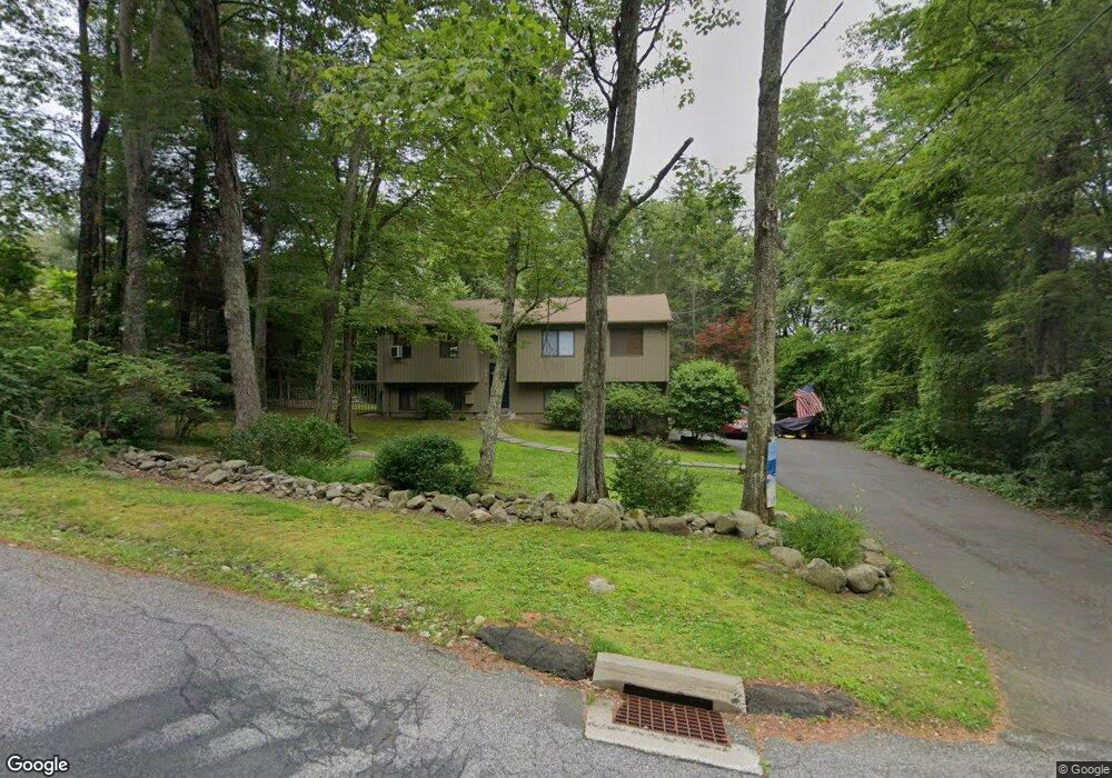
19 Morgan Rd Canton, CT 06019
Estimated Value: $384,687 - $491,000
3
Beds
2
Baths
1,132
Sq Ft
$381/Sq Ft
Est. Value
About This Home
This home is located at 19 Morgan Rd, Canton, CT 06019 and is currently estimated at $431,672, approximately $381 per square foot. 19 Morgan Rd is a home located in Hartford County with nearby schools including Cherry Brook Primary School, Canton Intermediate School, and Canton Middle School.
Ownership History
Date
Name
Owned For
Owner Type
Purchase Details
Closed on
Sep 20, 1999
Sold by
Cain W Curtin and Cain Tracy K
Bought by
Davis Howard G and Davis Kathleen H
Current Estimated Value
Create a Home Valuation Report for This Property
The Home Valuation Report is an in-depth analysis detailing your home's value as well as a comparison with similar homes in the area
Home Values in the Area
Average Home Value in this Area
Purchase History
| Date | Buyer | Sale Price | Title Company |
|---|---|---|---|
| Davis Howard G | $164,000 | -- | |
| Davis Howard G | $164,000 | -- |
Source: Public Records
Mortgage History
| Date | Status | Borrower | Loan Amount |
|---|---|---|---|
| Closed | Davis Howard G | $87,419 | |
| Closed | Davis Howard G | $45,000 | |
| Closed | Davis Howard G | $186,500 | |
| Closed | Davis Howard G | $180,000 |
Source: Public Records
Tax History
| Year | Tax Paid | Tax Assessment Tax Assessment Total Assessment is a certain percentage of the fair market value that is determined by local assessors to be the total taxable value of land and additions on the property. | Land | Improvement |
|---|---|---|---|---|
| 2025 | $7,700 | $229,860 | $81,750 | $148,110 |
| 2024 | $7,850 | $229,860 | $81,750 | $148,110 |
| 2023 | $5,562 | $157,250 | $71,070 | $86,180 |
| 2022 | $5,298 | $157,250 | $71,070 | $86,180 |
| 2021 | $5,224 | $157,250 | $71,070 | $86,180 |
| 2020 | $5,125 | $157,250 | $71,070 | $86,180 |
| 2019 | $5,037 | $157,250 | $71,070 | $86,180 |
| 2018 | $4,914 | $160,050 | $71,070 | $88,980 |
| 2017 | $4,880 | $160,050 | $71,070 | $88,980 |
| 2016 | $4,763 | $160,050 | $71,070 | $88,980 |
| 2015 | $4,672 | $160,050 | $71,070 | $88,980 |
| 2014 | $4,571 | $160,050 | $71,070 | $88,980 |
Source: Public Records
Map
Nearby Homes
- 50 Cherry Brook Rd
- 14 Brookview Cir
- 132 Morgan Rd
- 70 E Hill Rd
- 50 E Hill Rd Unit 3B
- 40 E Hill Rd
- 152 E Hill Rd
- 25 Maple Ave
- 141 Dowd Ave
- 455 Dowd Ave Unit 455
- 15 Red Fox Run
- 121 Gracey Rd
- 64 Bridge St
- 29 Lovely St
- 49 Applegate Ln Unit 49
- 23 Red Fox Run
- 220 Main St Unit 2J
- 220 Main St Unit 6G
- 22 Bel Aire Ln
- 48 Weatherstone