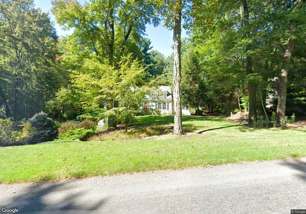
19 Myrick Ln Harvard, MA 01451
Estimated Value: $906,000 - $1,258,000
3
Beds
3
Baths
2,751
Sq Ft
$367/Sq Ft
Est. Value
About This Home
This home is located at 19 Myrick Ln, Harvard, MA 01451 and is currently estimated at $1,008,366, approximately $366 per square foot. 19 Myrick Ln is a home located in Worcester County with nearby schools including Hildreth Elementary School, The Bromfield School, and Francis W. Parker Charter Essential School.
Ownership History
Date
Name
Owned For
Owner Type
Purchase Details
Closed on
Jun 30, 2011
Sold by
Hoeske Joseph J and Hoeske Christine M
Bought by
Kerr Stephen A and Kerr Marion C
Current Estimated Value
Home Financials for this Owner
Home Financials are based on the most recent Mortgage that was taken out on this home.
Original Mortgage
$395,000
Outstanding Balance
$273,155
Interest Rate
4.62%
Mortgage Type
Purchase Money Mortgage
Estimated Equity
$735,211
Create a Home Valuation Report for This Property
The Home Valuation Report is an in-depth analysis detailing your home's value as well as a comparison with similar homes in the area
Home Values in the Area
Average Home Value in this Area
Purchase History
We collect this data history from publicly available records. To have your information removed, we recommend requesting removal directly through your county’s website.
| Date | Buyer | Sale Price | Title Company |
|---|---|---|---|
| Kerr Stephen A | $495,000 | -- |
Source: Public Records
Mortgage History
We collect this data history from publicly available records. To have your information removed, we recommend requesting removal directly through your county’s website.
| Date | Status | Borrower | Loan Amount |
|---|---|---|---|
| Open | Kerr Stephen A | $395,000 |
Source: Public Records
Tax History
| Year | Tax Paid | Tax Assessment Tax Assessment Total Assessment is a certain percentage of the fair market value that is determined by local assessors to be the total taxable value of land and additions on the property. | Land | Improvement |
|---|---|---|---|---|
| 2025 | $13,168 | $841,400 | $278,300 | $563,100 |
| 2024 | $12,488 | $838,100 | $278,300 | $559,800 |
| 2023 | $12,639 | $760,900 | $258,400 | $502,500 |
| 2022 | $11,661 | $651,100 | $247,400 | $403,700 |
| 2021 | $11,369 | $605,400 | $247,400 | $358,000 |
| 2020 | $10,088 | $546,200 | $247,400 | $298,800 |
| 2019 | $9,787 | $561,800 | $247,400 | $314,400 |
| 2018 | $9,510 | $554,500 | $247,400 | $307,100 |
| 2017 | $4,628 | $506,200 | $207,400 | $298,800 |
| 2016 | $3,450 | $492,100 | $207,400 | $284,700 |
| 2015 | $8,523 | $479,100 | $203,400 | $275,700 |
| 2014 | $8,188 | $479,100 | $203,400 | $275,700 |
Source: Public Records
Map
Nearby Homes
- 7 Baldwin Ct Unit 7
- 84 E Main St
- 117 Oak Ridge Dr
- 14 Shaker Pond Rd Unit 14
- 45 S Shaker Rd
- 44 Sandy Pond Rd
- 51 Sandy Pond Rd
- 41 E Main St
- 43 Old Mill Rd
- 18A S Shaker Rd
- 78 Shaker Rd
- 17 Calvin St
- 222 Snake Hill Rd
- 36 Norwood Ave
- 23 Nashua St
- 35 Lancaster County Rd Unit 7A
- 48 Pleasant St
- 71 W Main St
- 48 Pearl St
- 57 Shirley St
Your Personal Tour Guide
Ask me questions while you tour the home.