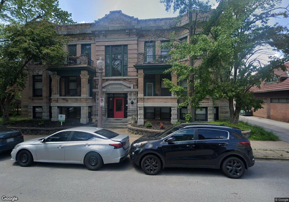
19 N Taylor Ave Saint Louis, MO 63108
Central West End NeighborhoodEstimated Value: $247,258 - $351,000
--
Bed
2
Baths
1,560
Sq Ft
$195/Sq Ft
Est. Value
About This Home
This home is located at 19 N Taylor Ave, Saint Louis, MO 63108 and is currently estimated at $304,565, approximately $195 per square foot. 19 N Taylor Ave is a home located in St. Louis City with nearby schools including Adams Elementary School, Roosevelt High School, and The Biome.
Ownership History
Date
Name
Owned For
Owner Type
Purchase Details
Closed on
Aug 14, 2018
Sold by
Tilson Bonnie S and Bonnie S Tilson Revocable Trus
Bought by
Shasta One Llc
Current Estimated Value
Purchase Details
Closed on
Sep 3, 2009
Sold by
Federal Home Loan Mortgage Corporation
Bought by
White Dennis A
Home Financials for this Owner
Home Financials are based on the most recent Mortgage that was taken out on this home.
Original Mortgage
$101,430
Interest Rate
5.03%
Mortgage Type
New Conventional
Purchase Details
Closed on
May 12, 2008
Sold by
Wiseman David R
Bought by
Federal Home Loan Mortgage Corporation
Purchase Details
Closed on
May 15, 2002
Sold by
Montgomery Ron and Montgomery Romona
Bought by
Wiseman David R
Home Financials for this Owner
Home Financials are based on the most recent Mortgage that was taken out on this home.
Original Mortgage
$131,750
Interest Rate
6.92%
Create a Home Valuation Report for This Property
The Home Valuation Report is an in-depth analysis detailing your home's value as well as a comparison with similar homes in the area
Home Values in the Area
Average Home Value in this Area
Purchase History
| Date | Buyer | Sale Price | Title Company |
|---|---|---|---|
| Shasta One Llc | $342,000 | None Available | |
| White Dennis A | $112,700 | Chicago Title Insurance Co | |
| Federal Home Loan Mortgage Corporation | $135,869 | None Available | |
| Wiseman David R | -- | -- |
Source: Public Records
Mortgage History
| Date | Status | Borrower | Loan Amount |
|---|---|---|---|
| Previous Owner | White Dennis A | $101,430 | |
| Previous Owner | Wiseman David R | $131,750 |
Source: Public Records
Tax History Compared to Growth
Tax History
| Year | Tax Paid | Tax Assessment Tax Assessment Total Assessment is a certain percentage of the fair market value that is determined by local assessors to be the total taxable value of land and additions on the property. | Land | Improvement |
|---|---|---|---|---|
| 2025 | $2,402 | $28,420 | -- | $28,420 |
| 2024 | $2,263 | $26,560 | -- | $26,560 |
| 2023 | $2,263 | $26,560 | $0 | $26,560 |
| 2022 | $2,254 | $25,540 | $0 | $25,540 |
| 2021 | $2,251 | $25,540 | $0 | $25,540 |
| 2020 | $2,233 | $25,540 | $0 | $25,540 |
| 2019 | $2,233 | $25,540 | $0 | $25,540 |
| 2018 | $2,296 | $25,540 | $0 | $25,540 |
| 2017 | $2,260 | $25,540 | $0 | $25,540 |
| 2016 | $2,033 | $22,800 | $0 | $22,800 |
| 2015 | $1,848 | $22,800 | $0 | $22,800 |
| 2014 | $1,845 | $22,800 | $0 | $22,800 |
| 2013 | -- | $22,800 | $0 | $22,800 |
Source: Public Records
Map
Nearby Homes
- 4540 Laclede Ave Unit 305
- 4561 Laclede Ave Unit B
- 4570 Laclede Ave Unit 301
- 4466 W Pine Blvd Unit 6C
- 4466 W Pine Blvd Unit 23C
- 4466 W Pine Blvd Unit 22A
- 4466 W Pine Blvd Unit 10F
- 4466 W Pine Blvd Unit 7D
- 4466 W Pine Blvd Unit 2E
- 4456 Laclede Ave
- 4540 Lindell Blvd Unit 102
- 9 N Euclid Ave Unit 509
- 4454 Lindell Blvd Unit 32
- 4909 Laclede Ave Unit 1401
- 4909 Laclede Ave Unit 804
- 4909 Laclede Ave Unit 1202
- 4909 Laclede Ave Unit 801
- 4909 Laclede Ave Unit 805
- 4909 Laclede Ave Unit 701
- 4501 Lindell Blvd Unit 11D-E
- 19 N Taylor Ave
- 19 N Taylor Ave
- 19 N Taylor Ave Unit 6
- 19 N Taylor Ave Unit 4
- 19 N Taylor Ave Unit 2
- 17 N Taylor Ave
- 17 N Taylor Ave
- 17 N Taylor Ave
- 17 N Taylor Ave Unit 2S
- 17 N Taylor Ave Unit 5
- 17 N Taylor Ave Unit 1
- 4507 Laclede Ave Unit D
- 7 N Taylor Ave
- 7 N Taylor Ave Unit B
- 5 N Taylor St
- 4501 Laclede Ave Unit A
- 4509 Laclede Ave
- 4489 Laclede Ave Unit A
- 4489 Laclede Ave
- 4489 Laclede Ave