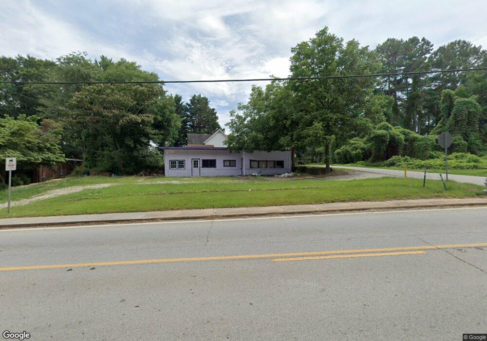
19 Nassau St Toccoa, GA 30577
Estimated Value: $124,000 - $183,000
2
Beds
1
Bath
1,219
Sq Ft
$125/Sq Ft
Est. Value
About This Home
This home is located at 19 Nassau St, Toccoa, GA 30577 and is currently estimated at $152,321, approximately $124 per square foot. 19 Nassau St is a home with nearby schools including Stephens County High School.
Ownership History
Date
Name
Owned For
Owner Type
Purchase Details
Closed on
Oct 8, 2020
Sold by
Adams Angela Joy
Bought by
Adams Brett Andrew
Current Estimated Value
Purchase Details
Closed on
Jul 6, 2017
Sold by
Payne Amy
Bought by
Adams Brett Andrew and Adams Angela Joy
Home Financials for this Owner
Home Financials are based on the most recent Mortgage that was taken out on this home.
Original Mortgage
$99,078
Interest Rate
3.89%
Mortgage Type
Commercial
Purchase Details
Closed on
May 12, 2006
Sold by
Payne Curtis H
Bought by
Payne Charles
Purchase Details
Closed on
Nov 1, 1985
Bought by
<Buyer Info Not Present>
Create a Home Valuation Report for This Property
The Home Valuation Report is an in-depth analysis detailing your home's value as well as a comparison with similar homes in the area
Home Values in the Area
Average Home Value in this Area
Purchase History
| Date | Buyer | Sale Price | Title Company |
|---|---|---|---|
| Adams Brett Andrew | -- | -- | |
| Adams Brett Andrew | $25,000 | -- | |
| Payne Charles | -- | -- | |
| <Buyer Info Not Present> | $32,000 | -- |
Source: Public Records
Mortgage History
| Date | Status | Borrower | Loan Amount |
|---|---|---|---|
| Previous Owner | Adams Brett Andrew | $99,078 |
Source: Public Records
Tax History Compared to Growth
Tax History
| Year | Tax Paid | Tax Assessment Tax Assessment Total Assessment is a certain percentage of the fair market value that is determined by local assessors to be the total taxable value of land and additions on the property. | Land | Improvement |
|---|---|---|---|---|
| 2024 | $770 | $21,604 | $10,064 | $11,540 |
| 2023 | $736 | $20,819 | $10,064 | $10,755 |
| 2022 | $932 | $31,302 | $10,064 | $21,238 |
| 2021 | $398 | $12,716 | $10,064 | $2,652 |
| 2020 | $414 | $13,120 | $10,064 | $3,056 |
| 2019 | $416 | $13,120 | $10,064 | $3,056 |
| 2018 | $317 | $15,896 | $12,840 | $3,056 |
| 2017 | $512 | $15,896 | $12,840 | $3,056 |
| 2016 | $504 | $15,896 | $12,840 | $3,056 |
| 2015 | $520 | $15,660 | $12,840 | $2,820 |
| 2014 | $526 | $15,590 | $12,840 | $2,750 |
| 2013 | -- | $15,576 | $12,840 | $2,736 |
Source: Public Records
Map
Nearby Homes
- 30 Moore Ave
- 178 Mitchell St
- 124 Mitchell St
- 59 Sunset Ln
- 57 Stewart St
- 0 Hwy 17 Alt Unit 10577119
- 228 E Doyle St
- 17 Summerhill Dr
- 45 Hayes St
- 249 S Hill St
- 43 Pauline St
- 74 S Hill St
- 128 Branch St
- 17 Taylor St
- 23 Taylor St
- 614 616 S Pond St
- 50 Green Hill Place
- 31 Craig St
- 259 E Currahee St
- 84 Oak Creek Cir
- 590 E Currahee St
- 590 E Currahee St
- 590 E Currahee St Unit A
- 590 E Currahee St Unit B
- 45 Nassau St
- 61 Nassau St
- 602 E Currahee St
- 36 Nassau St
- 81 Nassau St
- 82 Nassau St
- 44 Highpoint Ave
- 39 Saxon Place
- 121 Nassau St
- 190 Forest Ave
- 00 Forest Ave
- 153 Nassau St
- 0 Green Forest Unit 8385712
- 117 Highpoint Ave
- 117 Highpoint Ave
- 177 Highland Ave