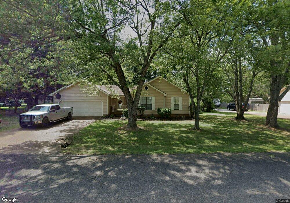
19 Oldham Dr Jackson, TN 38305
Estimated Value: $200,926 - $252,000
Studio
2
Baths
1,468
Sq Ft
$155/Sq Ft
Est. Value
About This Home
This home is located at 19 Oldham Dr, Jackson, TN 38305 and is currently estimated at $226,982, approximately $154 per square foot. 19 Oldham Dr is a home located in Madison County with nearby schools including Thelma Barker Elementary School, Northeast Middle School, and North Side High School.
Ownership History
Date
Name
Owned For
Owner Type
Purchase Details
Closed on
Mar 6, 2013
Sold by
Malone Glodine
Bought by
Barlow Kimberly K
Current Estimated Value
Purchase Details
Closed on
Aug 1, 2006
Sold by
Robert Brooks William
Bought by
Glodine Malone
Home Financials for this Owner
Home Financials are based on the most recent Mortgage that was taken out on this home.
Original Mortgage
$112,000
Interest Rate
7.99%
Purchase Details
Closed on
Dec 31, 1986
Bought by
Brooks William R
Purchase Details
Closed on
Mar 4, 1986
Purchase Details
Closed on
Mar 3, 1986
Purchase Details
Closed on
Nov 9, 1976
Purchase Details
Closed on
Jan 1, 1976
Create a Home Valuation Report for This Property
The Home Valuation Report is an in-depth analysis detailing your home's value as well as a comparison with similar homes in the area
Purchase History
| Date | Buyer | Sale Price | Title Company |
|---|---|---|---|
| Barlow Kimberly K | -- | -- | |
| Glodine Malone | $112,000 | -- | |
| Brooks William R | -- | -- | |
| -- | $8,300 | -- | |
| -- | -- | -- | |
| -- | -- | -- | |
| -- | -- | -- | |
| -- | -- | -- |
Source: Public Records
Mortgage History
| Date | Status | Borrower | Loan Amount |
|---|---|---|---|
| Previous Owner | Not Available | $112,000 |
Source: Public Records
Tax History
| Year | Tax Paid | Tax Assessment Tax Assessment Total Assessment is a certain percentage of the fair market value that is determined by local assessors to be the total taxable value of land and additions on the property. | Land | Improvement |
|---|---|---|---|---|
| 2025 | $757 | $40,400 | $6,250 | $34,150 |
| 2024 | $757 | $40,400 | $6,250 | $34,150 |
| 2022 | $757 | $40,400 | $6,250 | $34,150 |
| 2021 | $521 | $22,150 | $3,750 | $18,400 |
| 2020 | $521 | $22,150 | $3,750 | $18,400 |
| 2019 | $521 | $22,150 | $3,750 | $18,400 |
| 2018 | $521 | $22,150 | $3,750 | $18,400 |
| 2017 | $537 | $21,925 | $3,750 | $18,175 |
| 2016 | $471 | $21,925 | $3,750 | $18,175 |
| 2015 | $471 | $21,925 | $3,750 | $18,175 |
| 2014 | $474 | $22,025 | $3,750 | $18,275 |
Source: Public Records
Map
Nearby Homes
- 00 Ashport Rd
- 127 Parker Dr
- 1680 Ashport Rd
- 151 Netherwood Dr
- 0 Gerdau Dr
- 0 Ameristeel Rd
- 77 Grande Pines Cove
- 12 Doe Valley Cove
- 24 Doe Valley Cove
- 36 Grande Pines Cove
- 27 Bear Trace Dr
- 11 Grande Pines Cove
- 68 Brookwood Dr
- 179 Fairway Blvd
- 122 Garrison Dr
- 116 Garrison Dr
- 25 & 35 Jack Exum Ln
- 5 Pinehill Cove
- 18 Cedar Crest Cove
- 24 Cedar Crest Cove
Your Personal Tour Guide
Ask me questions while you tour the home.