19 Owensby Cemetary Rd Carrollton, GA 30117
Estimated Value: $215,654 - $296,000
2
Beds
1
Bath
1,596
Sq Ft
$166/Sq Ft
Est. Value
About This Home
This home is located at 19 Owensby Cemetary Rd, Carrollton, GA 30117 and is currently estimated at $264,914, approximately $165 per square foot. 19 Owensby Cemetary Rd is a home located in Carroll County with nearby schools including Central Elementary School, Central Middle School, and Central High School.
Ownership History
Date
Name
Owned For
Owner Type
Purchase Details
Closed on
Apr 23, 1999
Sold by
Wilkinson Radney
Bought by
Royston James and Royston Judy
Current Estimated Value
Purchase Details
Closed on
Apr 7, 1997
Sold by
Wilkinson Radney
Bought by
Wilkinson Radney
Purchase Details
Closed on
Dec 6, 1996
Sold by
Stewart James P
Bought by
Wilkinson Radney
Purchase Details
Closed on
Apr 1, 1987
Bought by
Stewart James P
Create a Home Valuation Report for This Property
The Home Valuation Report is an in-depth analysis detailing your home's value as well as a comparison with similar homes in the area
Home Values in the Area
Average Home Value in this Area
Purchase History
| Date | Buyer | Sale Price | Title Company |
|---|---|---|---|
| Royston James | $60,000 | -- | |
| Wilkinson Radney | -- | -- | |
| Wilkinson Radney | $40,000 | -- | |
| Stewart James P | -- | -- |
Source: Public Records
Tax History Compared to Growth
Tax History
| Year | Tax Paid | Tax Assessment Tax Assessment Total Assessment is a certain percentage of the fair market value that is determined by local assessors to be the total taxable value of land and additions on the property. | Land | Improvement |
|---|---|---|---|---|
| 2024 | $1,079 | $63,449 | $7,800 | $55,649 |
| 2023 | $1,079 | $56,844 | $6,240 | $50,604 |
| 2022 | $847 | $44,751 | $4,160 | $40,591 |
| 2021 | $750 | $38,153 | $3,328 | $34,825 |
| 2020 | $681 | $34,298 | $3,026 | $31,272 |
| 2019 | $629 | $31,197 | $3,026 | $28,171 |
| 2018 | $556 | $26,769 | $2,138 | $24,631 |
| 2017 | $557 | $26,769 | $2,138 | $24,631 |
| 2016 | $558 | $26,769 | $2,138 | $24,631 |
| 2015 | $495 | $21,697 | $4,791 | $16,906 |
| 2014 | $497 | $21,698 | $4,791 | $16,906 |
Source: Public Records
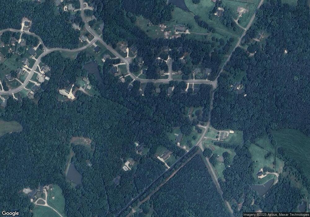
Map
Nearby Homes
- 1531 Tyus Carrollton Rd
- 20 Camp Ct
- 105 Woodbine Dr
- 95 Camp Ln
- 399 Old Camp Church Rd
- 345 Piney Grove Rd
- 3680 W Highway 166
- 0 Bonner Rd Unit 10635754
- 21 Crabapple Place
- 450 Baxter Rd
- The Coleman Plan at Summerfield Place
- The Pearson Plan at Summerfield Place
- The Piedmont Plan at Summerfield Place
- The Harrington Plan at Summerfield Place
- The McGinnis Plan at Summerfield Place
- The Telfair Plan at Summerfield Place
- 0 Buffalo Creek Rd Unit 10624169
- 533 Buffalo Creek Rd
- 40 Red Holly Gap
- 102 Red Oak Dr
- 70 Cottage Way
- 56 Cottage Way
- 20 Owensby Cemetary Rd
- 42 Cottage Way
- 1695A Tyus Carrollton Rd
- 1695 Tyus Carrollton Rd
- 84 Cottage Way
- 1591 Tyus Carrollton Rd
- 1693 Tyus Carrollton Rd
- 28 Cottage Way
- 0 Cottage Trail Unit 7288294
- 0 Cottage Trail Unit 7022133
- 0 Cottage Trail Unit 3290617
- 0 Cottage Trail Unit 8880191
- 0 Cottage Trail Unit 8523937
- 0 Cottage Trail Unit 8941159
- 65 Cottage Way
- 79 Cottage Way
- 1697 Tyus Carrollton Rd
- 24 Cottage Trail