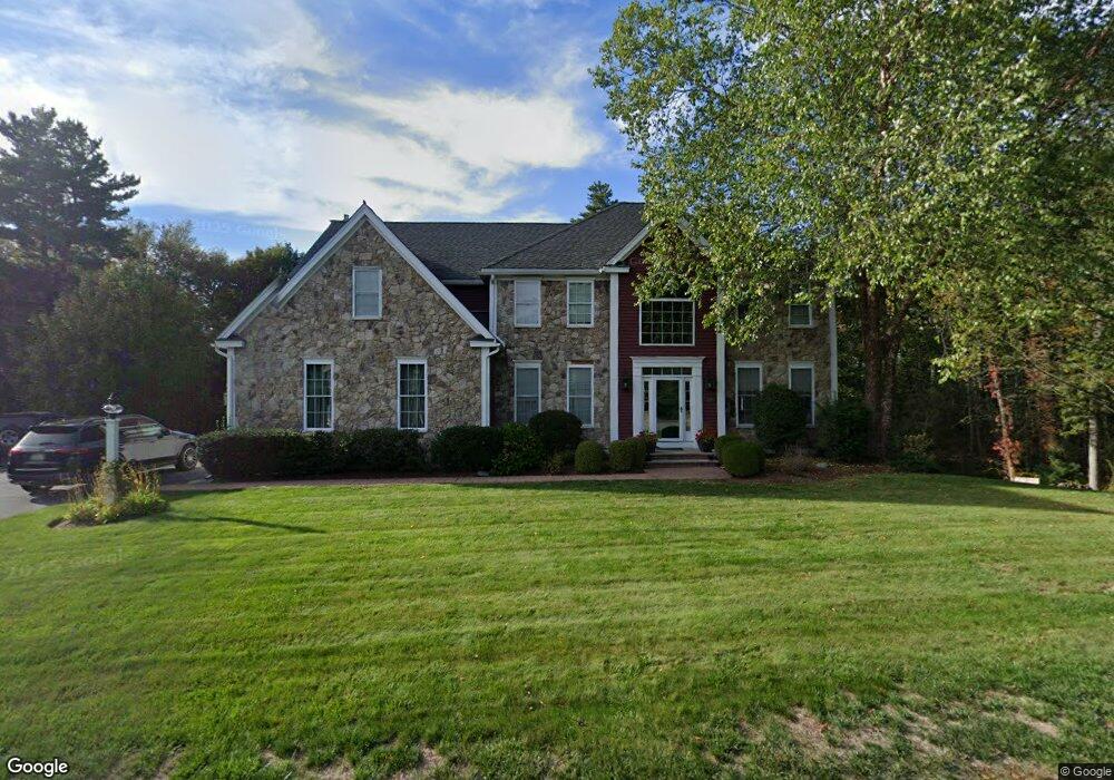
19 Parsons Hill Rd Wenham, MA 01984
Estimated Value: $1,450,223 - $1,680,000
4
Beds
3
Baths
3,296
Sq Ft
$467/Sq Ft
Est. Value
About This Home
This home is located at 19 Parsons Hill Rd, Wenham, MA 01984 and is currently estimated at $1,538,556, approximately $466 per square foot. 19 Parsons Hill Rd is a home located in Essex County with nearby schools including Winthrop School, Bessie Buker Elementary School, and Cutler Elementary School.
Ownership History
Date
Name
Owned For
Owner Type
Purchase Details
Closed on
Feb 3, 2004
Sold by
Wilson-Roper Donna J and Roper Tim D
Bought by
Smiley-Phippen Ann
Current Estimated Value
Purchase Details
Closed on
Oct 5, 2001
Sold by
Cleric Llc
Bought by
Roper Tim D and Wilson-Roper Donna J
Create a Home Valuation Report for This Property
The Home Valuation Report is an in-depth analysis detailing your home's value as well as a comparison with similar homes in the area
Home Values in the Area
Average Home Value in this Area
Purchase History
| Date | Buyer | Sale Price | Title Company |
|---|---|---|---|
| Smiley-Phippen Ann | $760,000 | -- | |
| Smiley-Phippen Ann | $760,000 | -- | |
| Roper Tim D | $575,000 | -- | |
| Roper Tim D | $575,000 | -- |
Source: Public Records
Mortgage History
| Date | Status | Borrower | Loan Amount |
|---|---|---|---|
| Open | Roper Tim D | $643,000 | |
| Closed | Roper Tim D | $640,000 |
Source: Public Records
Tax History Compared to Growth
Tax History
| Year | Tax Paid | Tax Assessment Tax Assessment Total Assessment is a certain percentage of the fair market value that is determined by local assessors to be the total taxable value of land and additions on the property. | Land | Improvement |
|---|---|---|---|---|
| 2025 | $19,122 | $1,230,500 | $578,400 | $652,100 |
| 2024 | $17,882 | $1,141,900 | $578,400 | $563,500 |
| 2023 | $16,821 | $969,500 | $554,600 | $414,900 |
| 2022 | $16,418 | $838,500 | $410,800 | $427,700 |
| 2021 | $15,758 | $800,700 | $373,000 | $427,700 |
| 2020 | $14,368 | $758,600 | $368,700 | $389,900 |
| 2019 | $13,670 | $758,600 | $368,700 | $389,900 |
| 2018 | $14,252 | $758,500 | $411,800 | $346,700 |
| 2017 | $13,819 | $753,900 | $411,800 | $342,100 |
| 2016 | $12,801 | $753,900 | $411,800 | $342,100 |
| 2015 | $12,251 | $753,900 | $411,800 | $342,100 |
Source: Public Records
Map
Nearby Homes
- 19 Parsons Hill Rd
- 18 Parsons Hill Rd
- 17 Parsons Hill Rd
- 18 Parsons Hill Rd
- 21B Parsons Hill Rd
- 21A Parsons Hill Rd
- 16 Parsons Hill Rd
- 2A Dexter Ln
- 2B Dexter Ln
- 20 Parsons Hill Rd
- 23 Parsons Hill Rd
- 4 Dexter Ln
- 1 Stockwell Ln
- 14 Parsons Hill Rd
- 6 Lafayette Ln
- 3 Stockwell Ln
- 6 Dexter Ln
- 1 Dexter Ln
- 2B Stockwell Ln
- 3 Dexter Ln