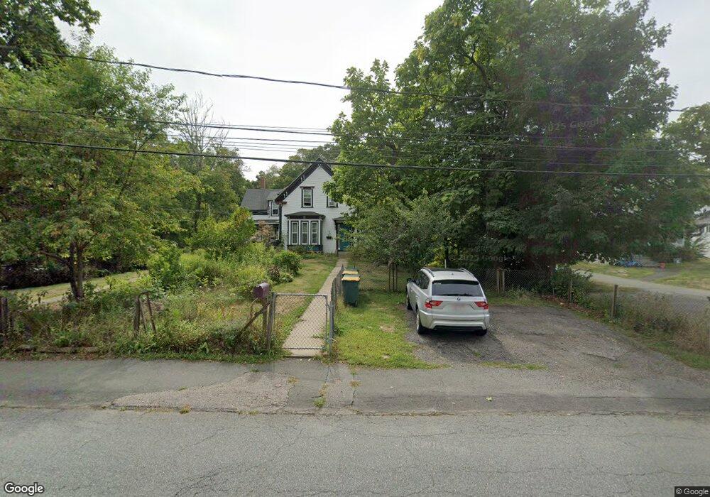
19 Pearl St Abington, MA 02351
Estimated Value: $693,815 - $896,000
5
Beds
2
Baths
2,391
Sq Ft
$324/Sq Ft
Est. Value
About This Home
This home is located at 19 Pearl St, Abington, MA 02351 and is currently estimated at $774,704, approximately $324 per square foot. 19 Pearl St is a home located in Plymouth County with nearby schools including Beaver Brook Elementary School, Abington Middle School, and Woodsdale School.
Ownership History
Date
Name
Owned For
Owner Type
Purchase Details
Closed on
Aug 29, 2008
Sold by
Hopkins Mary E
Bought by
Hopkins Mary E and Coulter Charles H
Current Estimated Value
Purchase Details
Closed on
Apr 26, 2007
Sold by
Cotter Shawn P and Pierce Ethel Taylor
Bought by
Hopkins Mary E
Home Financials for this Owner
Home Financials are based on the most recent Mortgage that was taken out on this home.
Original Mortgage
$245,000
Interest Rate
6.18%
Mortgage Type
Purchase Money Mortgage
Create a Home Valuation Report for This Property
The Home Valuation Report is an in-depth analysis detailing your home's value as well as a comparison with similar homes in the area
Home Values in the Area
Average Home Value in this Area
Purchase History
| Date | Buyer | Sale Price | Title Company |
|---|---|---|---|
| Hopkins Mary E | -- | -- | |
| Hopkins Mary E | $275,000 | -- |
Source: Public Records
Mortgage History
| Date | Status | Borrower | Loan Amount |
|---|---|---|---|
| Previous Owner | Hopkins Mary E | $245,000 |
Source: Public Records
Tax History Compared to Growth
Tax History
| Year | Tax Paid | Tax Assessment Tax Assessment Total Assessment is a certain percentage of the fair market value that is determined by local assessors to be the total taxable value of land and additions on the property. | Land | Improvement |
|---|---|---|---|---|
| 2025 | $8,494 | $650,400 | $243,800 | $406,600 |
| 2024 | $7,917 | $591,700 | $222,100 | $369,600 |
| 2023 | $8,297 | $583,900 | $193,700 | $390,200 |
| 2022 | $6,335 | $416,200 | $170,100 | $246,100 |
| 2021 | $6,493 | $394,000 | $154,700 | $239,300 |
| 2020 | $6,479 | $381,100 | $150,100 | $231,000 |
| 2019 | $6,015 | $345,900 | $143,200 | $202,700 |
| 2018 | $6,164 | $345,900 | $143,200 | $202,700 |
| 2017 | $2,281 | $333,700 | $143,200 | $190,500 |
| 2016 | $5,322 | $296,800 | $136,600 | $160,200 |
| 2015 | $5,046 | $296,800 | $136,600 | $160,200 |
Source: Public Records
Map
Nearby Homes
- 96 Plymouth St
- 38 Lantern Ln
- 0 Bedford St
- 676 Bedford St
- 1353 Washington St
- 1042 Washington St
- 40 Wales St
- 90 Warren St
- 925 Washington St
- 57 Battery St
- 32 Warren St
- 1077 Bedford St
- 46 Wardson Cir
- 10 Mccue Cir
- 5 Clark Rd
- 715 Thayer St Unit 715
- 33 Birch St Unit 126
- 20 Birch St
- 197 Bedford St
- 40 Fir Rd Unit 386