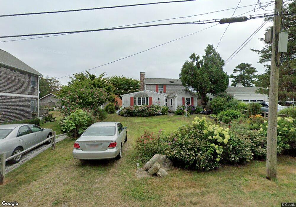
19 Pequot Ave Pocasset, MA 02559
Pocasset NeighborhoodEstimated Value: $796,000 - $919,000
4
Beds
3
Baths
1,800
Sq Ft
$486/Sq Ft
Est. Value
About This Home
This home is located at 19 Pequot Ave, Pocasset, MA 02559 and is currently estimated at $875,276, approximately $486 per square foot. 19 Pequot Ave is a home located in Barnstable County with nearby schools including Bourne High School and Cadence Academy Preschool - Bourne.
Ownership History
Date
Name
Owned For
Owner Type
Purchase Details
Closed on
Nov 26, 1997
Sold by
Sandwich Coop Bk
Bought by
Noonan David B and Noonan Jane F
Current Estimated Value
Purchase Details
Closed on
Aug 1, 1996
Sold by
Gallagy Lynne Anne and Dennis Gallagy R
Bought by
Sandwich Coop Bk
Create a Home Valuation Report for This Property
The Home Valuation Report is an in-depth analysis detailing your home's value as well as a comparison with similar homes in the area
Home Values in the Area
Average Home Value in this Area
Purchase History
| Date | Buyer | Sale Price | Title Company |
|---|---|---|---|
| Noonan David B | $156,000 | -- | |
| Noonan David B | $156,000 | -- | |
| Sandwich Coop Bk | $175,000 | -- | |
| Sandwich Coop Bk | $175,000 | -- |
Source: Public Records
Tax History Compared to Growth
Tax History
| Year | Tax Paid | Tax Assessment Tax Assessment Total Assessment is a certain percentage of the fair market value that is determined by local assessors to be the total taxable value of land and additions on the property. | Land | Improvement |
|---|---|---|---|---|
| 2025 | $5,359 | $686,200 | $373,000 | $313,200 |
| 2024 | $5,240 | $653,400 | $355,200 | $298,200 |
| 2023 | $4,986 | $565,900 | $314,400 | $251,500 |
| 2022 | $4,820 | $477,700 | $278,200 | $199,500 |
| 2021 | $4,683 | $434,800 | $253,200 | $181,600 |
| 2020 | $4,560 | $424,600 | $250,800 | $173,800 |
| 2019 | $4,358 | $414,700 | $250,800 | $163,900 |
| 2018 | $4,082 | $387,300 | $238,900 | $148,400 |
| 2017 | $3,950 | $383,500 | $236,600 | $146,900 |
| 2016 | $3,826 | $376,600 | $236,600 | $140,000 |
| 2015 | $3,521 | $349,700 | $209,700 | $140,000 |
Source: Public Records
Map
Nearby Homes
- 22 Nairn Rd
- 171 Bellavista Dr
- 34 Kenwood Rd
- 45 Kenwood Rd
- 89 Harbor Dr
- 48 Red Brook Harbor Rd
- 70 Wings Neck Rd
- 24 Richmond Rd
- 3 Red Brook Pond Dr
- 75 Winsor Rd
- 1094 County Rd
- 254 Barlows Landing Rd
- 14 Navajo Rd
- 10 Squeteague Harbor Rd
- 940 County Rd
- 250 Scraggy Neck Rd
- 940 County Rd
- 709 County Rd
- 174 Barlows Landing Rd