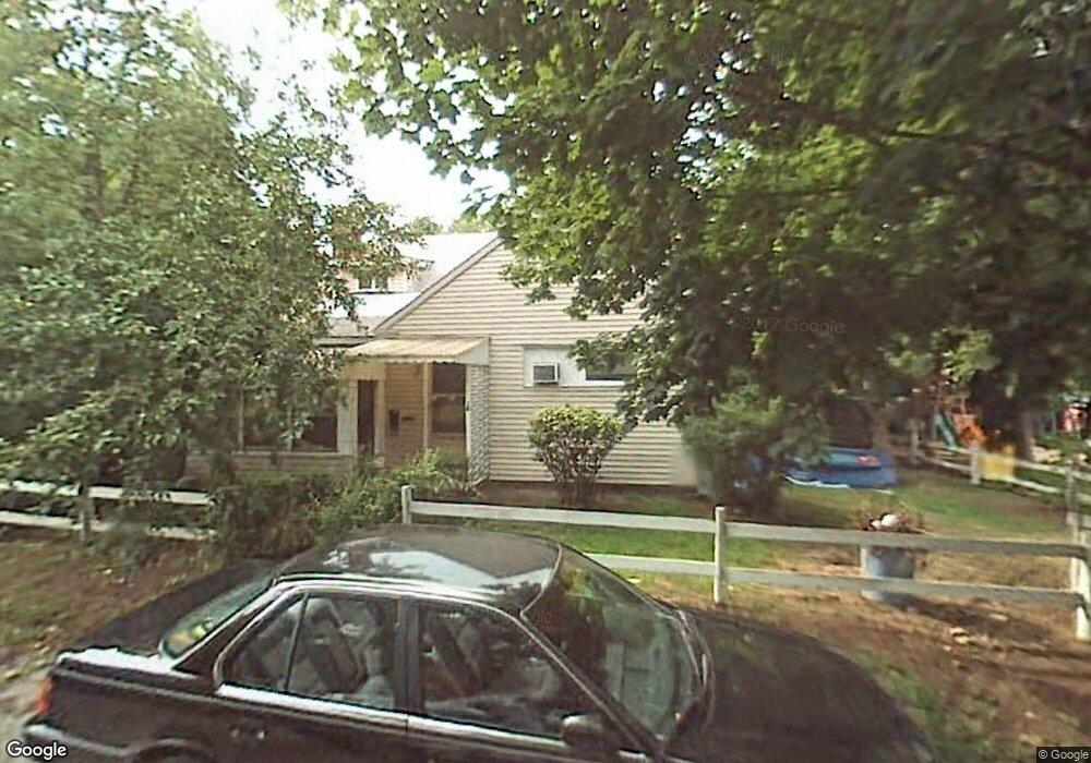
19 Perkins Ave Manchester, NH 03103
Hallsville NeighborhoodEstimated Value: $452,000 - $494,000
4
Beds
2
Baths
2,571
Sq Ft
$184/Sq Ft
Est. Value
About This Home
This home is located at 19 Perkins Ave, Manchester, NH 03103 and is currently estimated at $472,933, approximately $183 per square foot. 19 Perkins Ave is a home located in Hillsborough County with nearby schools including Wilson School, Hillside Middle School, and Manchester Central High School.
Ownership History
Date
Name
Owned For
Owner Type
Purchase Details
Closed on
Jul 1, 2005
Sold by
Austin Hugh E and Austin Joyce A
Bought by
Oneil Michael J
Current Estimated Value
Home Financials for this Owner
Home Financials are based on the most recent Mortgage that was taken out on this home.
Original Mortgage
$201,000
Outstanding Balance
$105,399
Interest Rate
5.73%
Mortgage Type
Purchase Money Mortgage
Estimated Equity
$367,535
Create a Home Valuation Report for This Property
The Home Valuation Report is an in-depth analysis detailing your home's value as well as a comparison with similar homes in the area
Home Values in the Area
Average Home Value in this Area
Purchase History
| Date | Buyer | Sale Price | Title Company |
|---|---|---|---|
| Oneil Michael J | $201,000 | -- |
Source: Public Records
Mortgage History
| Date | Status | Borrower | Loan Amount |
|---|---|---|---|
| Open | Oneil Michael J | $201,000 |
Source: Public Records
Tax History Compared to Growth
Tax History
| Year | Tax Paid | Tax Assessment Tax Assessment Total Assessment is a certain percentage of the fair market value that is determined by local assessors to be the total taxable value of land and additions on the property. | Land | Improvement |
|---|---|---|---|---|
| 2024 | $6,001 | $306,500 | $91,800 | $214,700 |
| 2023 | $5,781 | $306,500 | $91,800 | $214,700 |
| 2022 | $5,591 | $306,500 | $91,800 | $214,700 |
| 2021 | $5,419 | $306,500 | $91,800 | $214,700 |
| 2020 | $5,129 | $208,000 | $63,300 | $144,700 |
| 2019 | $5,059 | $208,000 | $63,300 | $144,700 |
| 2018 | $4,925 | $208,000 | $63,300 | $144,700 |
| 2017 | $4,851 | $208,000 | $63,300 | $144,700 |
| 2016 | $4,813 | $208,000 | $63,300 | $144,700 |
| 2015 | $4,801 | $204,800 | $63,300 | $141,500 |
| 2014 | $4,813 | $204,800 | $63,300 | $141,500 |
| 2013 | $4,643 | $204,800 | $63,300 | $141,500 |
Source: Public Records
Map
Nearby Homes
- 10 Hayes Ave
- 440 Laurel St
- 651 Summer St
- 335 Cypress St Unit 4A
- 335 Cypress St Unit 2P
- 635 Green St
- 625 Green St
- 527 Hanover St
- 426 Manchester St
- 662 Amherst St
- 383 Manchester St
- 379 Manchester St
- 201 Jewett St
- 377 Manchester St
- 394 Cedar St
- 383 Concord St
- 165 Taylor St
- 383 Concord St Hcrd Plan 42577
- 601 Hall St
- 445 E High St
- 46 Chase Ave
- 29 Perkins Ave
- 24 Chase Ave
- 21 Hayes Ave
- 15 Hayes Ave
- 70 Chase Ave
- 16 Chase Ave
- 222 Massabesic St Unit 2
- 222 Massabesic St Unit 1
- 222 Massabesic St
- 20 Hayes Ave
- 234 Massabesic St
- 20 Hospital Ave
- 18 Hayes Ave
- 34 Hospital Ave
- 26 Hayes Ave
- 16 Hayes Ave
- 31 Chase Ave
- 17 Chase Ave
- 14 Hayes Ave