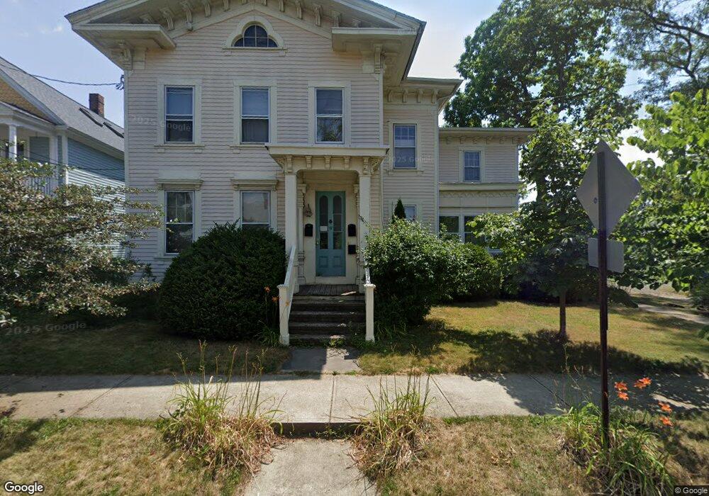
19 Perkins St New Haven, CT 06513
Fair Haven NeighborhoodEstimated Value: $345,000 - $484,000
4
Beds
3
Baths
3,099
Sq Ft
$138/Sq Ft
Est. Value
About This Home
This home is located at 19 Perkins St, New Haven, CT 06513 and is currently estimated at $428,239, approximately $138 per square foot. 19 Perkins St is a home located in New Haven County with nearby schools including Fair Haven School, Elm City College Preparatory School, and All Saints Catholic Academy.
Ownership History
Date
Name
Owned For
Owner Type
Purchase Details
Closed on
Jun 1, 2010
Sold by
Manning John
Bought by
Manning Christel
Current Estimated Value
Purchase Details
Closed on
Mar 29, 2005
Sold by
Kroogman Robin L Est
Bought by
Manning John and Manning Christel
Home Financials for this Owner
Home Financials are based on the most recent Mortgage that was taken out on this home.
Original Mortgage
$187,500
Interest Rate
5.56%
Create a Home Valuation Report for This Property
The Home Valuation Report is an in-depth analysis detailing your home's value as well as a comparison with similar homes in the area
Home Values in the Area
Average Home Value in this Area
Purchase History
| Date | Buyer | Sale Price | Title Company |
|---|---|---|---|
| Manning Christel | -- | -- | |
| Manning John | $250,000 | -- |
Source: Public Records
Mortgage History
| Date | Status | Borrower | Loan Amount |
|---|---|---|---|
| Previous Owner | Manning John | $187,500 | |
| Previous Owner | Manning John | $81,000 |
Source: Public Records
Tax History
| Year | Tax Paid | Tax Assessment Tax Assessment Total Assessment is a certain percentage of the fair market value that is determined by local assessors to be the total taxable value of land and additions on the property. | Land | Improvement |
|---|---|---|---|---|
| 2025 | $9,956 | $252,700 | $47,600 | $205,100 |
| 2024 | $9,729 | $252,700 | $47,600 | $205,100 |
| 2023 | $9,400 | $252,700 | $47,600 | $205,100 |
| 2022 | $10,045 | $252,700 | $47,600 | $205,100 |
| 2021 | $6,724 | $153,230 | $33,530 | $119,700 |
| 2020 | $6,724 | $153,230 | $33,530 | $119,700 |
| 2019 | $6,586 | $153,230 | $33,530 | $119,700 |
| 2018 | $6,586 | $153,230 | $33,530 | $119,700 |
| 2017 | $5,927 | $153,230 | $33,530 | $119,700 |
| 2016 | $5,189 | $124,880 | $28,910 | $95,970 |
| 2015 | $5,189 | $124,880 | $28,910 | $95,970 |
| 2014 | $5,189 | $124,880 | $28,910 | $95,970 |
Source: Public Records
Map
Nearby Homes
- 225 Front St Unit 1
- 100 Front St Unit 100
- 702 Quinnipiac Ave Unit A
- 25 Pine St
- 728 Quinnipiac Ave
- 750 Quinnipiac Ave Unit 7
- 314 Lenox St
- 111 Pine St
- 72 Pierpont St
- 83 E Grand Ave
- 2 Front St Unit 2J
- 54 Lombard St
- 39 Houston St
- 1 Front St Unit 1 Kel
- 33 Chapel St
- 369 Poplar St
- 191 Ferry St
- 147 Lombard St
- 181 Lombard St
- 490 Quinnipiac Ave
Your Personal Tour Guide
Ask me questions while you tour the home.