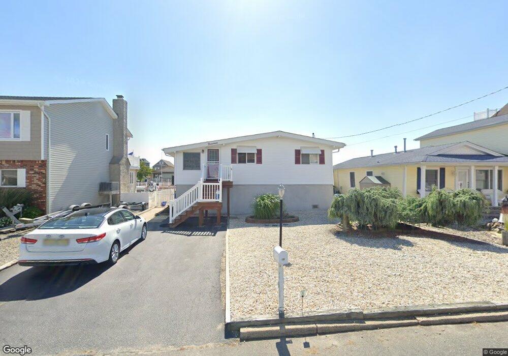
19 Pilot Rd Toms River, NJ 08753
Estimated Value: $591,000 - $688,000
2
Beds
1
Bath
1,288
Sq Ft
$489/Sq Ft
Est. Value
About This Home
This home is located at 19 Pilot Rd, Toms River, NJ 08753 and is currently estimated at $630,366, approximately $489 per square foot. 19 Pilot Rd is a home located in Ocean County.
Ownership History
Date
Name
Owned For
Owner Type
Purchase Details
Closed on
Jun 30, 2022
Sold by
Larrison Carole A
Bought by
Larrison Bradley N
Current Estimated Value
Home Financials for this Owner
Home Financials are based on the most recent Mortgage that was taken out on this home.
Original Mortgage
$280,000
Outstanding Balance
$267,911
Interest Rate
5.78%
Mortgage Type
New Conventional
Estimated Equity
$362,455
Purchase Details
Closed on
Apr 18, 2013
Sold by
Ewart Peggy and Cascio Fay R
Bought by
Ewart Peggy
Purchase Details
Closed on
Sep 28, 2010
Sold by
Cascio Fay R and Ewart Peggy
Bought by
Cascio Fay R
Purchase Details
Closed on
Jul 7, 2006
Sold by
Cascio Fay R
Bought by
Cascio Fay R and Ewart Peggy
Create a Home Valuation Report for This Property
The Home Valuation Report is an in-depth analysis detailing your home's value as well as a comparison with similar homes in the area
Home Values in the Area
Average Home Value in this Area
Purchase History
| Date | Buyer | Sale Price | Title Company |
|---|---|---|---|
| Larrison Bradley N | $450,000 | American Land Title | |
| Larrison Bradley N | $450,000 | American Land Title | |
| Ewart Peggy | -- | None Available | |
| Cascio Fay R | -- | None Available | |
| Cascio Fay R | -- | None Available |
Source: Public Records
Mortgage History
| Date | Status | Borrower | Loan Amount |
|---|---|---|---|
| Open | Larrison Bradley N | $280,000 | |
| Closed | Larrison Bradley N | $280,000 |
Source: Public Records
Tax History
| Year | Tax Paid | Tax Assessment Tax Assessment Total Assessment is a certain percentage of the fair market value that is determined by local assessors to be the total taxable value of land and additions on the property. | Land | Improvement |
|---|---|---|---|---|
| 2025 | $8,157 | $447,700 | $230,000 | $217,700 |
| 2024 | $7,750 | $447,700 | $230,000 | $217,700 |
| 2023 | $7,468 | $447,700 | $230,000 | $217,700 |
| 2022 | $7,468 | $447,700 | $230,000 | $217,700 |
| 2021 | $6,604 | $264,400 | $161,500 | $102,900 |
| 2020 | $6,576 | $264,400 | $161,500 | $102,900 |
| 2019 | $6,290 | $264,400 | $161,500 | $102,900 |
| 2018 | $5,880 | $249,700 | $161,500 | $88,200 |
| 2017 | $5,840 | $249,700 | $161,500 | $88,200 |
| 2016 | $5,703 | $249,700 | $161,500 | $88,200 |
| 2015 | $5,498 | $249,700 | $161,500 | $88,200 |
| 2014 | $5,226 | $249,700 | $161,500 | $88,200 |
Source: Public Records
Map
Nearby Homes
- 40 Anchorage Dr
- 50 Neptune Rd
- 19 Crane Way
- 16 Clearwater Way
- 42 Harbor View Ln
- 342 Aldo Dr
- 40 Osprey Dr
- 292 Aldo Dr
- 673 Bayview Dr
- 669 Bayview Dr
- 657 Bayview Dr
- 79 16th St
- 505 Bayview Dr
- 76 15th St
- 244 Atsion Way
- 521 Bayview Dr
- 316 Silver Lagoon Dr
- 240 Timberline Rd
- 219 Kettle Creek Rd
- 215 Kettle Creek Rd
Your Personal Tour Guide
Ask me questions while you tour the home.