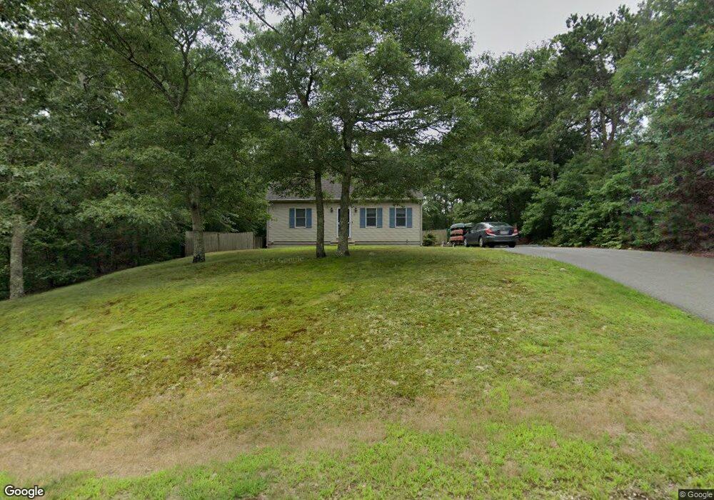
19 Pilot Way East Falmouth, MA 02536
Hatchville NeighborhoodEstimated Value: $602,000 - $647,000
3
Beds
2
Baths
1,501
Sq Ft
$419/Sq Ft
Est. Value
About This Home
This home is located at 19 Pilot Way, East Falmouth, MA 02536 and is currently estimated at $628,711, approximately $418 per square foot. 19 Pilot Way is a home located in Barnstable County with nearby schools including Mullen-Hall School, Morse Pond School, and Lawrence School.
Ownership History
Date
Name
Owned For
Owner Type
Purchase Details
Closed on
Feb 28, 1996
Sold by
Kinchla James E and Kinchla Deborah A
Bought by
Bruce Edward A and Bruce Amy F
Current Estimated Value
Home Financials for this Owner
Home Financials are based on the most recent Mortgage that was taken out on this home.
Original Mortgage
$113,900
Outstanding Balance
$3,731
Interest Rate
7.02%
Mortgage Type
Purchase Money Mortgage
Estimated Equity
$624,980
Create a Home Valuation Report for This Property
The Home Valuation Report is an in-depth analysis detailing your home's value as well as a comparison with similar homes in the area
Home Values in the Area
Average Home Value in this Area
Purchase History
| Date | Buyer | Sale Price | Title Company |
|---|---|---|---|
| Bruce Edward A | $119,900 | -- | |
| Bruce Edward A | $119,900 | -- |
Source: Public Records
Mortgage History
| Date | Status | Borrower | Loan Amount |
|---|---|---|---|
| Open | Bruce Edward A | $50,000 | |
| Closed | Bruce Edward A | $37,000 | |
| Closed | Bruce Edward A | $10,000 | |
| Open | Bruce Edward A | $113,900 |
Source: Public Records
Tax History Compared to Growth
Tax History
| Year | Tax Paid | Tax Assessment Tax Assessment Total Assessment is a certain percentage of the fair market value that is determined by local assessors to be the total taxable value of land and additions on the property. | Land | Improvement |
|---|---|---|---|---|
| 2025 | $3,153 | $537,200 | $160,400 | $376,800 |
| 2024 | $3,056 | $486,700 | $145,100 | $341,600 |
| 2023 | $3,030 | $437,800 | $145,100 | $292,700 |
| 2022 | $2,581 | $320,600 | $91,300 | $229,300 |
| 2021 | $2,447 | $287,900 | $87,400 | $200,500 |
| 2020 | $2,404 | $279,900 | $79,400 | $200,500 |
| 2019 | $2,354 | $275,000 | $79,400 | $195,600 |
| 2018 | $2,242 | $260,700 | $79,400 | $181,300 |
| 2017 | $2,168 | $254,200 | $79,400 | $174,800 |
| 2016 | $2,128 | $254,200 | $79,400 | $174,800 |
| 2015 | $2,082 | $254,200 | $79,400 | $174,800 |
| 2014 | $2,090 | $256,500 | $83,500 | $173,000 |
Source: Public Records
Map
Nearby Homes
- 47 Shallow Pond Ln
- 11 Shallow Pond Ln
- 59 Whitecaps Dr
- 12 Rock Hollow Dr
- 23 Little John Rd
- 24 Little John Rd
- 68 Deepwood Dr
- 590 Sandwich Rd
- 308 Falmouth Woods Rd
- 77 Highwood Ln
- 809 Sandwich Rd
- 17 Pinewood Dr
- 34 Mckenna Ridge Rd
- 25 Harris Hill Rd
- 12 Beach Plum Path
- 61 Mckenna Ridge Dr
- 234 Cairn Ridge Rd
- 46 Alderberry Ln
- 11 Pilot Way
- 10 Pilot Way
- 14 Pilot Way
- 1 Pilot Way
- 8 Pilot Way
- 2 Pilot Way
- 23 Pilot Way
- 716 Blacksmith Shop Rd
- 28 Pilot Way
- 29 Pilot Way
- 715 Blacksmith Shop Rd
- 0 Blacksmith Shop Rd
- 34 Pilot Way
- 33 Pilot Way
- 39 Pilot Way
- 45 Pilot Way
- 763 Blacksmith Shop Rd
- 771 Blacksmith Shop Rd
- 54 Pilot Way
- 777 Blacksmith Shop Rd