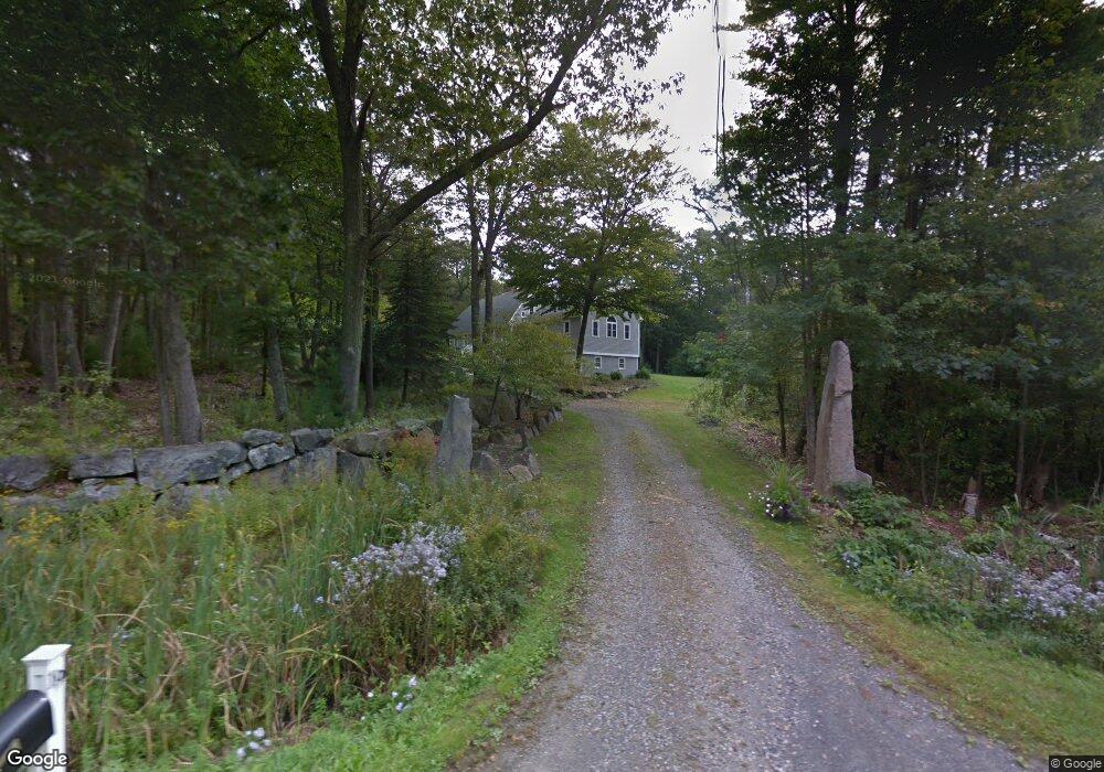
19 Pocahontas Rd Kittery Point, ME 03905
Kittery Point NeighborhoodEstimated Value: $911,000 - $1,432,000
3
Beds
2
Baths
3,019
Sq Ft
$367/Sq Ft
Est. Value
About This Home
This home is located at 19 Pocahontas Rd, Kittery Point, ME 03905 and is currently estimated at $1,108,698, approximately $367 per square foot. 19 Pocahontas Rd is a home located in York County with nearby schools including Horace Mitchell Primary School, Shapleigh School, and Robert W Traip Academy.
Ownership History
Date
Name
Owned For
Owner Type
Purchase Details
Closed on
Jun 5, 2013
Sold by
Lundin Jed R
Bought by
Lundin Ft
Current Estimated Value
Purchase Details
Closed on
Dec 8, 2008
Sold by
Grp Loan Llc
Bought by
Lundin Jed R
Home Financials for this Owner
Home Financials are based on the most recent Mortgage that was taken out on this home.
Original Mortgage
$391,150
Interest Rate
6.11%
Mortgage Type
Unknown
Create a Home Valuation Report for This Property
The Home Valuation Report is an in-depth analysis detailing your home's value as well as a comparison with similar homes in the area
Home Values in the Area
Average Home Value in this Area
Purchase History
| Date | Buyer | Sale Price | Title Company |
|---|---|---|---|
| Lundin Ft | -- | -- | |
| Lundin Jed R | -- | -- |
Source: Public Records
Mortgage History
| Date | Status | Borrower | Loan Amount |
|---|---|---|---|
| Open | Lundin Jed R | $400,000 | |
| Closed | Lundin Jed R | $391,150 |
Source: Public Records
Tax History Compared to Growth
Tax History
| Year | Tax Paid | Tax Assessment Tax Assessment Total Assessment is a certain percentage of the fair market value that is determined by local assessors to be the total taxable value of land and additions on the property. | Land | Improvement |
|---|---|---|---|---|
| 2024 | $8,857 | $623,700 | $180,300 | $443,400 |
| 2023 | $8,331 | $612,100 | $180,300 | $431,800 |
| 2022 | $8,251 | $612,100 | $180,300 | $431,800 |
| 2021 | $7,957 | $612,100 | $180,300 | $431,800 |
| 2020 | $7,896 | $612,100 | $180,300 | $431,800 |
| 2019 | $8,004 | $460,000 | $112,100 | $347,900 |
| 2018 | $4,394 | $460,000 | $112,100 | $347,900 |
| 2017 | $4,156 | $464,000 | $112,100 | $351,900 |
| 2016 | $7,513 | $468,100 | $112,100 | $356,000 |
| 2015 | $7,307 | $466,300 | $112,100 | $354,200 |
| 2014 | $7,237 | $466,300 | $112,100 | $354,200 |
| 2013 | $7,097 | $466,300 | $112,100 | $354,200 |
Source: Public Records
Map
Nearby Homes
- 39 Tenney Hill Rd
- 132 Pepperrell Rd
- 15 Foyes Ln
- 72 Pepperrell Rd
- 58 Foyes Ln
- 24 Seabreeze Ln
- 15 Atkinson St
- 17 Elm Ct
- 175 Wentworth Rd
- 14 Colonial Ln
- 205 Whipple Rd
- 25 Bartlett Rd
- 18 Mainmast Cir
- 2 Washburn Farm Ln Unit 1
- 7 Washburn Farm Ln Unit 9
- 20 Washburn Farm Ln Unit 5
- 18 Washburn Farm Ln Unit 4
- 57 Old Bay Rd
- 12 Washburn Farm Ln Unit 3
- 78 Norton Rd Unit 6
- 1 Captains Way
- 2 Captains Way
- 23 Pocahontas Rd
- 27 Pocahontas Rd
- 6 Captains Way
- 16 Pocahontas Rd
- 4 Captains Way
- 24 Pocahontas Rd
- 29 Pocahontas Rd
- 3 Captains Way
- 8 Captains Way
- 1 Wheelhouse Way
- 10 Captains Way
- 14 Pocahontas Rd
- 3 Wheelhouse Way
- 12 Wheelhouse Way
- 5 Wheel House Way
- 2 Wheelhouse Way
- 5 Wheelhouse Way
- 12 Captains Way