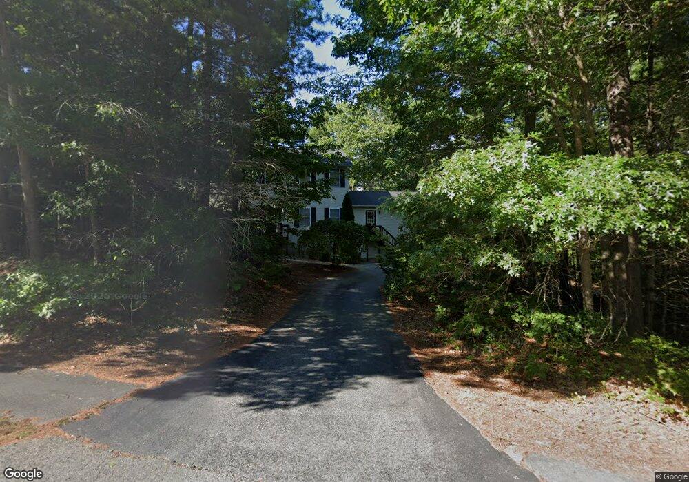
19 Rebecca Rd Assonet, MA 02702
Estimated Value: $700,000 - $774,000
3
Beds
3
Baths
2,752
Sq Ft
$265/Sq Ft
Est. Value
About This Home
This home is located at 19 Rebecca Rd, Assonet, MA 02702 and is currently estimated at $727,934, approximately $264 per square foot. 19 Rebecca Rd is a home located in Bristol County with nearby schools including Freetown Elementary School, George R Austin Intermediate School, and Freetown-Lakeville Middle School.
Ownership History
Date
Name
Owned For
Owner Type
Purchase Details
Closed on
Jun 12, 2008
Sold by
Emond David E
Bought by
Desousa Robert C and Desousa Tara E
Current Estimated Value
Purchase Details
Closed on
Dec 23, 2004
Sold by
Desousa Robert C and Desousa Tara E
Bought by
Emond David E
Purchase Details
Closed on
Aug 20, 1999
Sold by
Viana Homes Const Inc
Bought by
Desousa Robert C and Desousa Tara E
Home Financials for this Owner
Home Financials are based on the most recent Mortgage that was taken out on this home.
Original Mortgage
$195,700
Interest Rate
7.6%
Mortgage Type
Purchase Money Mortgage
Create a Home Valuation Report for This Property
The Home Valuation Report is an in-depth analysis detailing your home's value as well as a comparison with similar homes in the area
Home Values in the Area
Average Home Value in this Area
Purchase History
| Date | Buyer | Sale Price | Title Company |
|---|---|---|---|
| Desousa Robert C | -- | -- | |
| Emond David E | -- | -- | |
| Desousa Robert C | $206,000 | -- |
Source: Public Records
Mortgage History
| Date | Status | Borrower | Loan Amount |
|---|---|---|---|
| Previous Owner | Desousa Robert C | $195,700 |
Source: Public Records
Tax History Compared to Growth
Tax History
| Year | Tax Paid | Tax Assessment Tax Assessment Total Assessment is a certain percentage of the fair market value that is determined by local assessors to be the total taxable value of land and additions on the property. | Land | Improvement |
|---|---|---|---|---|
| 2025 | $6,315 | $637,200 | $196,700 | $440,500 |
| 2024 | $6,273 | $601,400 | $185,500 | $415,900 |
| 2023 | $6,172 | $576,300 | $167,100 | $409,200 |
| 2022 | $5,879 | $487,500 | $141,600 | $345,900 |
| 2021 | $5,769 | $447,700 | $128,700 | $319,000 |
| 2020 | $5,722 | $439,500 | $123,800 | $315,700 |
| 2019 | $5,514 | $419,300 | $123,500 | $295,800 |
| 2018 | $5,169 | $391,400 | $123,500 | $267,900 |
| 2017 | $5,087 | $381,900 | $123,500 | $258,400 |
| 2016 | $4,890 | $373,600 | $120,000 | $253,600 |
| 2015 | $4,723 | $366,100 | $114,500 | $251,600 |
| 2014 | $4,627 | $366,900 | $117,500 | $249,400 |
Source: Public Records
Map
Nearby Homes
- 95 Howland Rd
- 36 Mill St
- 7 Great Cedar Crossing
- 6 Weetamoe Dr
- 15 Slab Bridge Rd
- 20 Slab Bridge Rd
- 1 Elaine Cir
- 15 Leonard Ave
- Lot 2 Sherwood Ln
- Lot 1 Sherwood Ln
- 10 Dean St
- 20 Grove St
- 10 Mill St
- 5 Nottingham Way
- 1 Elm St
- 57 County St
- 15 N Main St
- 195 Slab Bridge Rd
- 90 Howland Rd
- 5 Hadley Heights Way