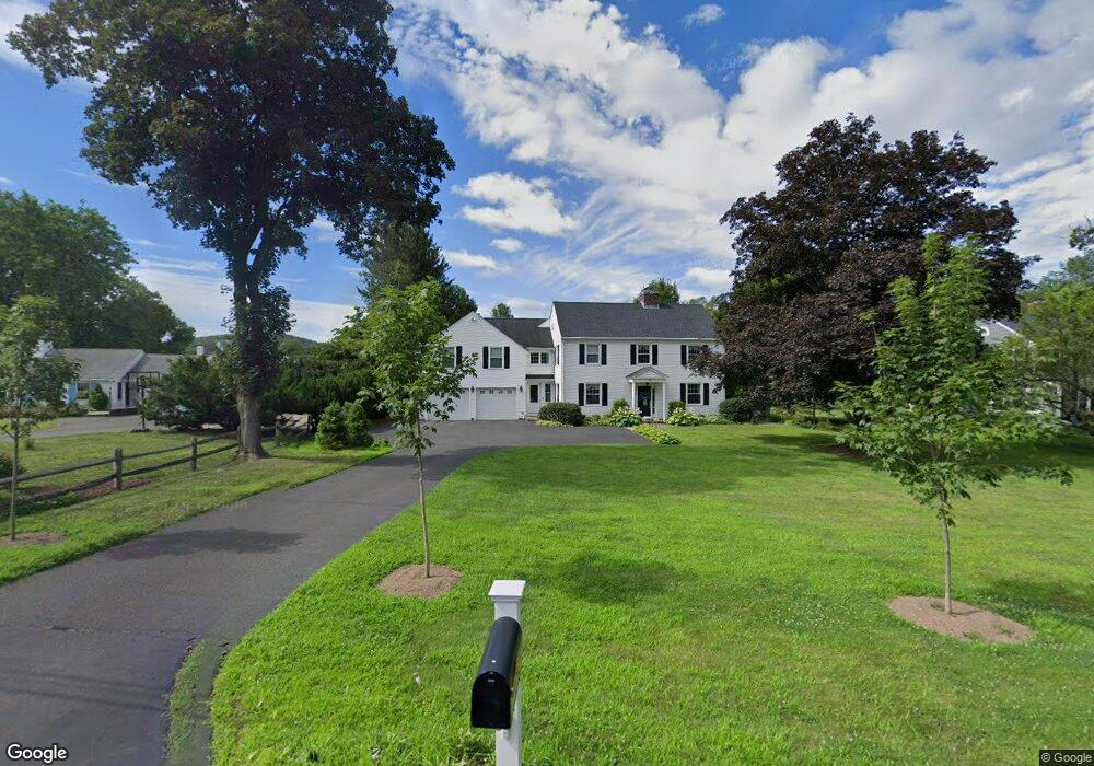
19 Riverside Rd Simsbury, CT 06070
Estimated Value: $482,000 - $798,000
4
Beds
3
Baths
3,634
Sq Ft
$181/Sq Ft
Est. Value
About This Home
This home is located at 19 Riverside Rd, Simsbury, CT 06070 and is currently estimated at $659,075, approximately $181 per square foot. 19 Riverside Rd is a home located in Hartford County with nearby schools including Tariffville School, Henry James Memorial School, and Simsbury High School.
Ownership History
Date
Name
Owned For
Owner Type
Purchase Details
Closed on
Jul 29, 1999
Sold by
Ferwerda Anna S
Bought by
Budlong Jonathan P and Budlong Ingrid M
Current Estimated Value
Home Financials for this Owner
Home Financials are based on the most recent Mortgage that was taken out on this home.
Original Mortgage
$169,100
Interest Rate
6.08%
Purchase Details
Closed on
Oct 8, 1987
Sold by
Mcmullen Susan
Bought by
Ferwerda Vernon
Create a Home Valuation Report for This Property
The Home Valuation Report is an in-depth analysis detailing your home's value as well as a comparison with similar homes in the area
Home Values in the Area
Average Home Value in this Area
Purchase History
We collect this data history from publicly available records. To have your information removed, we recommend requesting removal directly through your county’s website.
| Date | Buyer | Sale Price | Title Company |
|---|---|---|---|
| Budlong Jonathan P | $178,000 | -- | |
| Ferwerda Vernon | $200,000 | -- |
Source: Public Records
Mortgage History
We collect this data history from publicly available records. To have your information removed, we recommend requesting removal directly through your county’s website.
| Date | Status | Borrower | Loan Amount |
|---|---|---|---|
| Closed | Ferwerda Vernon | $60,000 | |
| Open | Ferwerda Vernon | $228,000 | |
| Closed | Ferwerda Vernon | $169,100 | |
| Previous Owner | Ferwerda Vernon | $50,000 |
Source: Public Records
Tax History
| Year | Tax Paid | Tax Assessment Tax Assessment Total Assessment is a certain percentage of the fair market value that is determined by local assessors to be the total taxable value of land and additions on the property. | Land | Improvement |
|---|---|---|---|---|
| 2025 | $12,298 | $360,010 | $80,500 | $279,510 |
| 2024 | $11,992 | $360,010 | $80,500 | $279,510 |
| 2023 | $11,456 | $360,010 | $80,500 | $279,510 |
| 2022 | $10,497 | $271,740 | $87,530 | $184,210 |
| 2021 | $10,497 | $271,740 | $87,530 | $184,210 |
| 2020 | $10,079 | $271,740 | $87,530 | $184,210 |
| 2019 | $10,141 | $271,740 | $87,530 | $184,210 |
| 2018 | $10,215 | $271,740 | $87,530 | $184,210 |
| 2017 | $9,768 | $252,010 | $85,290 | $166,720 |
| 2016 | $9,355 | $252,010 | $85,290 | $166,720 |
| 2015 | $9,355 | $252,010 | $85,290 | $166,720 |
| 2014 | $9,360 | $252,010 | $85,290 | $166,720 |
Source: Public Records
Map
Nearby Homes
- 3 Candlewood Ct
- 2 Gillette Ct Unit D
- 1 West St Unit 223
- 82 West St
- 16 Pinnacle Mountain Rd
- 15 Sand Hill Rd
- 15 Cobtail Way
- 9 Carriage Dr Unit 9
- 40 Firetown Rd Unit 20
- 37 Bantry Rd
- 32 Southbridge Ct
- 3 Ronan Way
- 17 Stillwood Chase
- 7 Woodleigh Place
- 24 Hunting Ridge Dr
- 16 Brownstone Turn
- 10 Penwood Rd
- 23 Banks Rd
- 13 Cedar Hill Rd
- 3 Branch Brook Dr
- 15 Riverside Rd
- 23 Riverside Rd
- 12 Riverside Rd
- 21 Riverside Rd
- 11 Riverside Rd
- 16 Riverside Rd
- 14 Riverside Rd
- 25 Riverside Rd
- 10 Riverside Rd
- 9 Riverside Rd
- 20 Riverside Rd
- 8 Riverside Rd
- 22 Riverside Rd
- 10 Bradley Rd
- 8 Bradley Rd
- 27 Riverside Rd
- 24 Riverside Rd
- 7 Riverside Rd
- 5 Riverside Rd
- 4 Bradley Rd
Your Personal Tour Guide
Ask me questions while you tour the home.