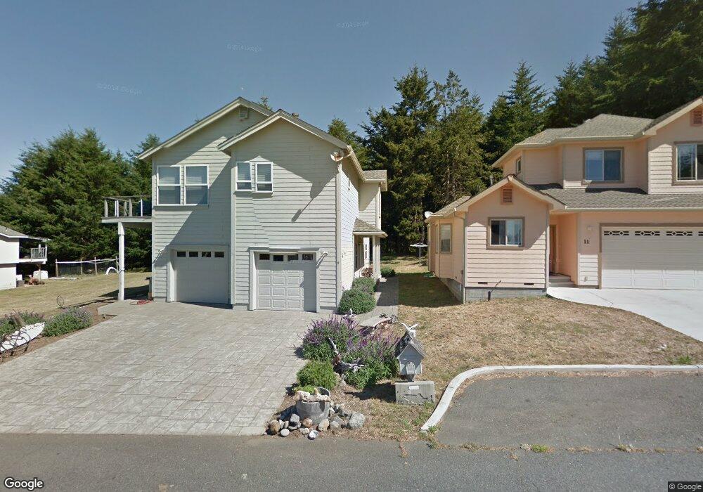
19 Sea View Rd Whitethorn, CA 95589
Shelter Cove NeighborhoodEstimated Value: $384,000 - $518,000
--
Bed
--
Bath
--
Sq Ft
4,138
Sq Ft Lot
About This Home
This home is located at 19 Sea View Rd, Whitethorn, CA 95589 and is currently estimated at $439,835. 19 Sea View Rd is a home located in Humboldt County.
Ownership History
Date
Name
Owned For
Owner Type
Purchase Details
Closed on
Jun 17, 2022
Sold by
Mapes Mark W and Mapes Joni
Bought by
Mark W Mapes And Joni L Mapes 2022 Revocable
Current Estimated Value
Purchase Details
Closed on
Aug 23, 1999
Sold by
Phelps Todd R and Phelps Pamela
Bought by
Mapes Mark W and Mapes Joni
Purchase Details
Closed on
Jan 8, 1999
Sold by
Morris Anna M
Bought by
Phelps Todd Rankin and Phelps Pamela
Create a Home Valuation Report for This Property
The Home Valuation Report is an in-depth analysis detailing your home's value as well as a comparison with similar homes in the area
Home Values in the Area
Average Home Value in this Area
Purchase History
| Date | Buyer | Sale Price | Title Company |
|---|---|---|---|
| Mark W Mapes And Joni L Mapes 2022 Revocable | -- | None Listed On Document | |
| Mapes Mark W | $40,000 | Humboldt Land Title Company | |
| Phelps Todd Rankin | $25,000 | Humboldt Land Title Company |
Source: Public Records
Tax History Compared to Growth
Tax History
| Year | Tax Paid | Tax Assessment Tax Assessment Total Assessment is a certain percentage of the fair market value that is determined by local assessors to be the total taxable value of land and additions on the property. | Land | Improvement |
|---|---|---|---|---|
| 2025 | $4,236 | $379,446 | $61,465 | $317,981 |
| 2024 | $4,236 | $372,007 | $60,260 | $311,747 |
| 2023 | $4,251 | $364,714 | $59,079 | $305,635 |
| 2022 | $4,186 | $357,564 | $57,921 | $299,643 |
| 2021 | $4,034 | $350,554 | $56,786 | $293,768 |
| 2020 | $4,056 | $346,960 | $56,204 | $290,756 |
| 2019 | $3,958 | $340,157 | $55,102 | $285,055 |
| 2018 | $3,892 | $333,488 | $54,022 | $279,466 |
| 2017 | $3,721 | $326,950 | $52,963 | $273,987 |
| 2016 | $3,698 | $320,540 | $51,925 | $268,615 |
| 2015 | $3,678 | $315,727 | $51,146 | $264,581 |
| 2014 | $3,464 | $309,544 | $50,145 | $259,399 |
Source: Public Records
Map
Nearby Homes
- 27 Sea View Rd
- 11 Sea View Rd
- 22 Sea View Rd
- 39 Sea View Rd
- 34 Sea View Rd
- 6 Sea View Rd
- 165 & 173 Duluard Rd
- 56 Sea View Rd
- 7 Salmon Ct
- 165-173 Du Luard Rd
- 173 Du Luard Dr
- 157 Du Luard Dr
- 165 - 173 Du Luard Dr
- 84 Sea View Rd
- 1069 Upper Pacific Dr
- 187 Du Luard Rd
- 8200 Salmon Ct
- 1077 Upper Pacific Dr
- 195 Du Luard Rd
- 61 Sea View Rd