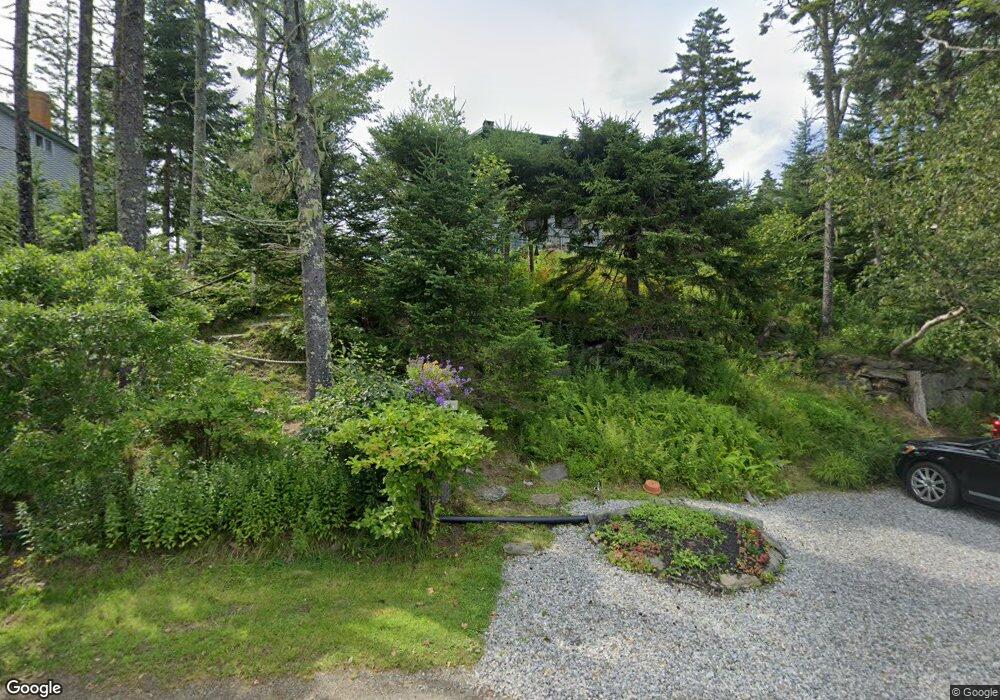
19 Shore Rd East Boothbay, ME 04544
Estimated Value: $635,560 - $1,056,000
4
Beds
1
Bath
576
Sq Ft
$1,381/Sq Ft
Est. Value
About This Home
This home is located at 19 Shore Rd, East Boothbay, ME 04544 and is currently estimated at $795,390, approximately $1,380 per square foot. 19 Shore Rd is a home located in Lincoln County with nearby schools including Boothbay Region Elementary School and Boothbay Region High School.
Ownership History
Date
Name
Owned For
Owner Type
Purchase Details
Closed on
Aug 22, 2007
Sold by
Johnson Tracy L and Johnson Timothy C
Bought by
Dunlap Abby A and Dunlap 3Rd John M
Current Estimated Value
Create a Home Valuation Report for This Property
The Home Valuation Report is an in-depth analysis detailing your home's value as well as a comparison with similar homes in the area
Home Values in the Area
Average Home Value in this Area
Purchase History
| Date | Buyer | Sale Price | Title Company |
|---|---|---|---|
| Dunlap Abby A | -- | -- | |
| Dunlap Abby A | -- | -- |
Source: Public Records
Tax History Compared to Growth
Tax History
| Year | Tax Paid | Tax Assessment Tax Assessment Total Assessment is a certain percentage of the fair market value that is determined by local assessors to be the total taxable value of land and additions on the property. | Land | Improvement |
|---|---|---|---|---|
| 2024 | $5,071 | $446,784 | $367,800 | $78,984 |
| 2023 | $4,490 | $446,784 | $367,800 | $78,984 |
| 2022 | $4,155 | $446,784 | $367,800 | $78,984 |
| 2021 | $4,267 | $446,784 | $367,800 | $78,984 |
| 2020 | $4,289 | $446,784 | $367,800 | $78,984 |
| 2019 | $4,222 | $446,784 | $367,800 | $78,984 |
| 2018 | $4,155 | $446,784 | $367,800 | $78,984 |
| 2017 | $3,812 | $414,400 | $349,200 | $65,200 |
| 2016 | $3,647 | $414,400 | $349,200 | $65,200 |
| 2015 | $3,626 | $414,400 | $349,200 | $65,200 |
| 2014 | $3,522 | $414,400 | $349,200 | $65,200 |
Source: Public Records
Map
Nearby Homes
- 44 King Phillips Trail
- 12 Westwind Dr
- 31 Bay St
- 74 & 76 Bay St
- 40 Atlantic Ave
- 391 Cape Newagen Rd
- 53 Commercial St
- 27 Townsend Ave
- 17 Cedar Ln Unit 17
- 37 Townsend Ave
- 34 Townsend Ave
- 3 Cedar Ln Unit 3
- 1 Cedar Ln Unit 1
- 26 Sea St
- 63 Townsend Ave
- 66 Townsend Ave
- 12 Sea St
- 66 Townsend Avenue & 43 Oak St
- 43 Oak St
- 5 Massachusetts Ave