19 Ski Ln Red Lodge, MT 59068
Estimated Value: $982,769 - $1,548,000
6
Beds
6
Baths
7,268
Sq Ft
$178/Sq Ft
Est. Value
About This Home
This home is located at 19 Ski Ln, Red Lodge, MT 59068 and is currently estimated at $1,293,442, approximately $177 per square foot. 19 Ski Ln is a home located in Carbon County with nearby schools including Mountain View School, Roosevelt Junior High School, and Red Lodge High School.
Ownership History
Date
Name
Owned For
Owner Type
Purchase Details
Closed on
May 5, 2016
Sold by
Hunter William J and Hunter Kimberly J
Bought by
Hogan Eric T and Hogan Robin D
Current Estimated Value
Home Financials for this Owner
Home Financials are based on the most recent Mortgage that was taken out on this home.
Original Mortgage
$215,000
Outstanding Balance
$95,494
Interest Rate
3.71%
Mortgage Type
New Conventional
Estimated Equity
$1,197,948
Create a Home Valuation Report for This Property
The Home Valuation Report is an in-depth analysis detailing your home's value as well as a comparison with similar homes in the area
Home Values in the Area
Average Home Value in this Area
Purchase History
| Date | Buyer | Sale Price | Title Company |
|---|---|---|---|
| Hogan Eric T | $268,750 | -- |
Source: Public Records
Mortgage History
| Date | Status | Borrower | Loan Amount |
|---|---|---|---|
| Open | Hogan Eric T | $215,000 |
Source: Public Records
Tax History Compared to Growth
Tax History
| Year | Tax Paid | Tax Assessment Tax Assessment Total Assessment is a certain percentage of the fair market value that is determined by local assessors to be the total taxable value of land and additions on the property. | Land | Improvement |
|---|---|---|---|---|
| 2025 | $5,009 | $1,082,000 | $0 | $0 |
| 2024 | $5,729 | $981,600 | $0 | $0 |
| 2023 | $5,595 | $981,600 | $0 | $0 |
| 2022 | $4,696 | $686,600 | $0 | $0 |
| 2021 | $4,569 | $686,600 | $0 | $0 |
| 2020 | $4,142 | $609,900 | $0 | $0 |
| 2019 | $4,216 | $609,900 | $0 | $0 |
| 2018 | $4,408 | $636,300 | $0 | $0 |
| 2017 | $4,451 | $636,300 | $0 | $0 |
| 2016 | $5,341 | $750,519 | $0 | $0 |
| 2015 | $5,316 | $780,139 | $0 | $0 |
| 2014 | $5,121 | $416,010 | $0 | $0 |
Source: Public Records
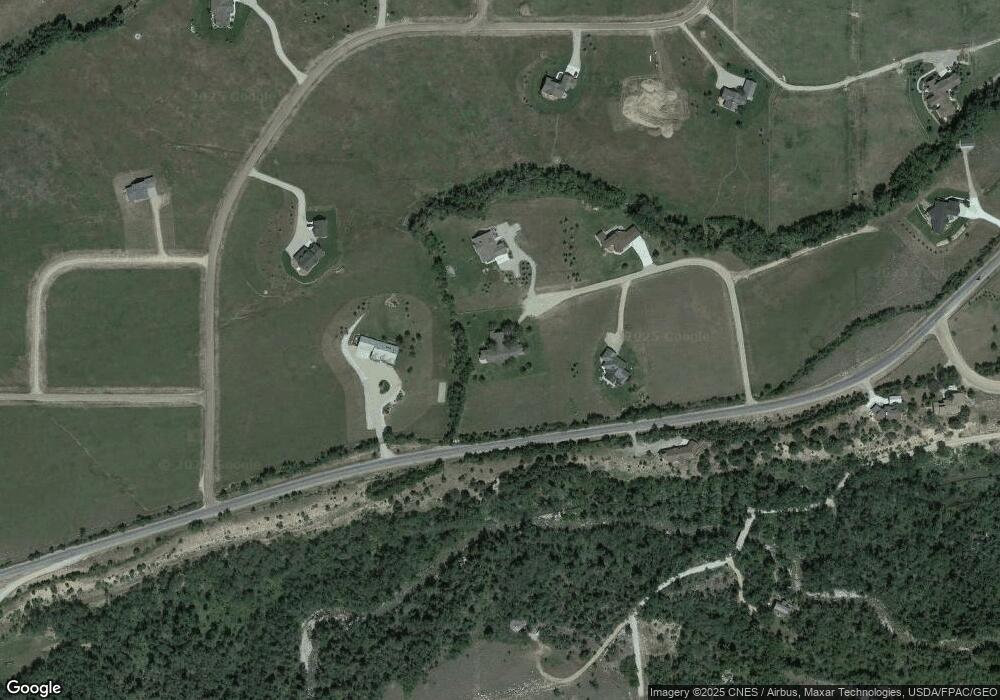
Map
Nearby Homes
- 5 Ski Ln
- TBD Palisades Loop
- 5 Comanche Trail
- 5.3 Acres Palisades Campground
- NHN Wilderness Ln
- 17 Rocky Fork Cir
- 6802 Us Highway 212
- 25 Biorn Ln
- 1505 Broadway Ave S
- 1505 Broadway Ave S Unit 206
- NSN Bear Run Ln
- 198 Meeteetse Trail Rd
- 1106 S White Ave
- 74 Big Sky Dr
- Lot 78 Big Sky Dr
- 98 Big Sky Dr
- 22 Big Sky Dr
- 1125 Adams Ave S Unit 5
- 1125 Adams Ave S Unit 17
- 1125 Adams Ave S Unit 15
- 18 Ski Ln
- 194 W Fork Rd
- 12 Ski Ln
- 179 W Fork Rd
- 46 Mountainbrook Dr
- 18 Mountainbrook Dr
- 42 Mountainbrook Dr
- Lot 5 Mountainbrook Dr
- 30 Dillon Rd
- LOT 10 Mountainbrook Subd
- TRACT 9 Mountainbrook Subdivision
- 44 Mountainbrook Dr
- 9 Mountainbrook Dr
- 0 Palisades Loop
- 25 Dillon Rd
- 167 W Fork Rd
- 4 Palisades Loop
- 66 Mountainbrook Dr
- 55 Mountainbrook Dr
- 23 Mountainbrook Dr