19 Speed Andrews Way 0 Paula Ave Tisbury, MA 02568
Vineyard Haven NeighborhoodEstimated Value: $820,000 - $900,554
3
Beds
1
Bath
1,016
Sq Ft
$852/Sq Ft
Est. Value
About This Home
This home is located at 19 Speed Andrews Way 0 Paula Ave, Tisbury, MA 02568 and is currently estimated at $866,139, approximately $852 per square foot. 19 Speed Andrews Way 0 Paula Ave is a home located in Dukes County with nearby schools including Tisbury Elementary School, Martha's Vineyard Regional High School, and Martha's Vineyard Charter School.
Ownership History
Date
Name
Owned For
Owner Type
Purchase Details
Closed on
Feb 20, 2014
Sold by
Friedman Joel
Bought by
Joel Friedman T and Joel Friedman
Current Estimated Value
Purchase Details
Closed on
Nov 16, 1971
Bought by
Friedman Joel
Create a Home Valuation Report for This Property
The Home Valuation Report is an in-depth analysis detailing your home's value as well as a comparison with similar homes in the area
Home Values in the Area
Average Home Value in this Area
Purchase History
| Date | Buyer | Sale Price | Title Company |
|---|---|---|---|
| Joel Friedman T | -- | -- | |
| Friedman Joel | -- | -- |
Source: Public Records
Tax History Compared to Growth
Tax History
| Year | Tax Paid | Tax Assessment Tax Assessment Total Assessment is a certain percentage of the fair market value that is determined by local assessors to be the total taxable value of land and additions on the property. | Land | Improvement |
|---|---|---|---|---|
| 2025 | $5,614 | $741,600 | $465,400 | $276,200 |
| 2024 | $5,154 | $645,900 | $366,100 | $279,800 |
| 2023 | $4,613 | $630,200 | $367,000 | $263,200 |
| 2022 | $4,482 | $515,200 | $252,000 | $263,200 |
| 2021 | $4,221 | $460,300 | $252,000 | $208,300 |
| 2020 | $4,034 | $432,400 | $252,000 | $180,400 |
| 2019 | $3,721 | $405,800 | $231,000 | $174,800 |
| 2018 | $3,779 | $399,900 | $253,100 | $146,800 |
| 2017 | $3,521 | $386,500 | $236,300 | $150,200 |
| 2016 | $3,277 | $357,800 | $220,000 | $137,800 |
| 2015 | $2,695 | $302,100 | $170,500 | $131,600 |
Source: Public Records
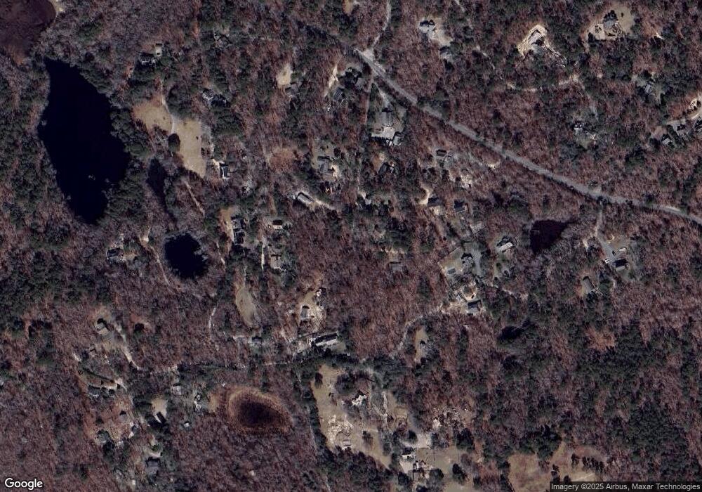
Map
Nearby Homes
- 180 Pilot Hill Farm Rd
- 16 Red Coat Hill Rd
- 157 Ben Chase Rd
- 31 Lamberts Cove Rd
- 20 Brook Hollow Rd
- 9 Beach Pebble Rd
- 11 Beach Pebble Rd Unit 48.3
- 11 Beach Pebble Rd
- 97 Longview Rd
- 50 Lantern Ln
- 51 Lantern Ln
- 55 Old House Way
- 56 Holmes Hole Rd Unit 10
- 56 Holmes Hole Rd
- 136 W Spring St
- 128 W Spring St
- 33 Alyssa Ln
- 53 Stoney Hill Rd
- 208 Irenes Way
- 60 Paula Ave
- 19 Speed Andrews Way
- 0 Paula Ave
- 48 Paula Ave
- 59 Paula Ave
- 86 David Ave
- 94 Paula Ave
- 41 Paula Ave
- 36 Paula Ave
- 74 David Ave
- 0 John Hoft Rd
- 132 John Hoft Rd
- 00 John Hoft Rd
- Lot 8.2 John Hoft Rd
- Lot 12 John Hoft Rd
- 02 John Hoft Rd
- 63 John Hoft Rd
- 0 Shubael Weeks Path
- 30 Speed Andrews Way
- 0 John Hoft Rd