19 Stone Dr Northport, ME 04849
Estimated Value: $228,344 - $544,000
3
Beds
--
Bath
--
Sq Ft
1.54
Acres
About This Home
This home is located at 19 Stone Dr, Northport, ME 04849 and is currently estimated at $411,836. 19 Stone Dr is a home located in Waldo County.
Ownership History
Date
Name
Owned For
Owner Type
Purchase Details
Closed on
Mar 6, 2008
Sold by
Northport Town Of
Bought by
Karen V Stager Co
Current Estimated Value
Purchase Details
Closed on
Aug 8, 2006
Sold by
Frenkel Deborah
Bought by
Fensie Philippe A and Fensie Anne L
Home Financials for this Owner
Home Financials are based on the most recent Mortgage that was taken out on this home.
Original Mortgage
$139,500
Interest Rate
6.7%
Mortgage Type
Stand Alone Second
Create a Home Valuation Report for This Property
The Home Valuation Report is an in-depth analysis detailing your home's value as well as a comparison with similar homes in the area
Home Values in the Area
Average Home Value in this Area
Purchase History
| Date | Buyer | Sale Price | Title Company |
|---|---|---|---|
| Karen V Stager Co | -- | -- | |
| Fensie Philippe A | -- | -- |
Source: Public Records
Mortgage History
| Date | Status | Borrower | Loan Amount |
|---|---|---|---|
| Previous Owner | Fensie Philippe A | $139,500 |
Source: Public Records
Tax History Compared to Growth
Tax History
| Year | Tax Paid | Tax Assessment Tax Assessment Total Assessment is a certain percentage of the fair market value that is determined by local assessors to be the total taxable value of land and additions on the property. | Land | Improvement |
|---|---|---|---|---|
| 2024 | $1,735 | $98,000 | $36,000 | $62,000 |
| 2023 | $1,593 | $98,000 | $36,000 | $62,000 |
| 2022 | $1,558 | $98,000 | $36,000 | $62,000 |
| 2021 | $1,519 | $98,000 | $36,000 | $62,000 |
| 2020 | $1,495 | $98,000 | $36,000 | $62,000 |
| 2019 | $1,558 | $98,000 | $36,000 | $62,000 |
| 2018 | $1,423 | $98,000 | $36,000 | $62,000 |
| 2017 | $1,414 | $98,000 | $36,000 | $62,000 |
| 2016 | $1,387 | $98,000 | $36,000 | $62,000 |
| 2015 | $1,352 | $98,000 | $36,000 | $62,000 |
| 2014 | $1,597 | $98,000 | $36,000 | $62,000 |
| 2013 | $1,387 | $98,000 | $36,000 | $62,000 |
Source: Public Records
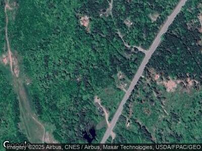
Map
Nearby Homes
- 286 Atlantic Hwy
- Lot 50-2 Serene Dr
- 00 Serene Dr
- 2782 Atlantic Hwy
- 56 S Cobbtown Rd
- 40 Harbor Dr Unit 40
- 608 Atlantic Hwy
- R-7 17-C Eagle Dr
- 321 Beech Hill Rd
- L46 (Part) Beech Hill Rd
- R-3 L2-A Beech Hill Rd
- R-3 L5 Beech Hill Rd
- R-3 L5&2A Beech Hill Rd
- 1049 Atlantic Hwy
- 321 Atlantic Hwy
- 74 Bayview Dr
- 228 Gooseberry Point Rd
- 225 Priest Rd
- 14-6 Atlantic Hwy
- 223 Priest Rd