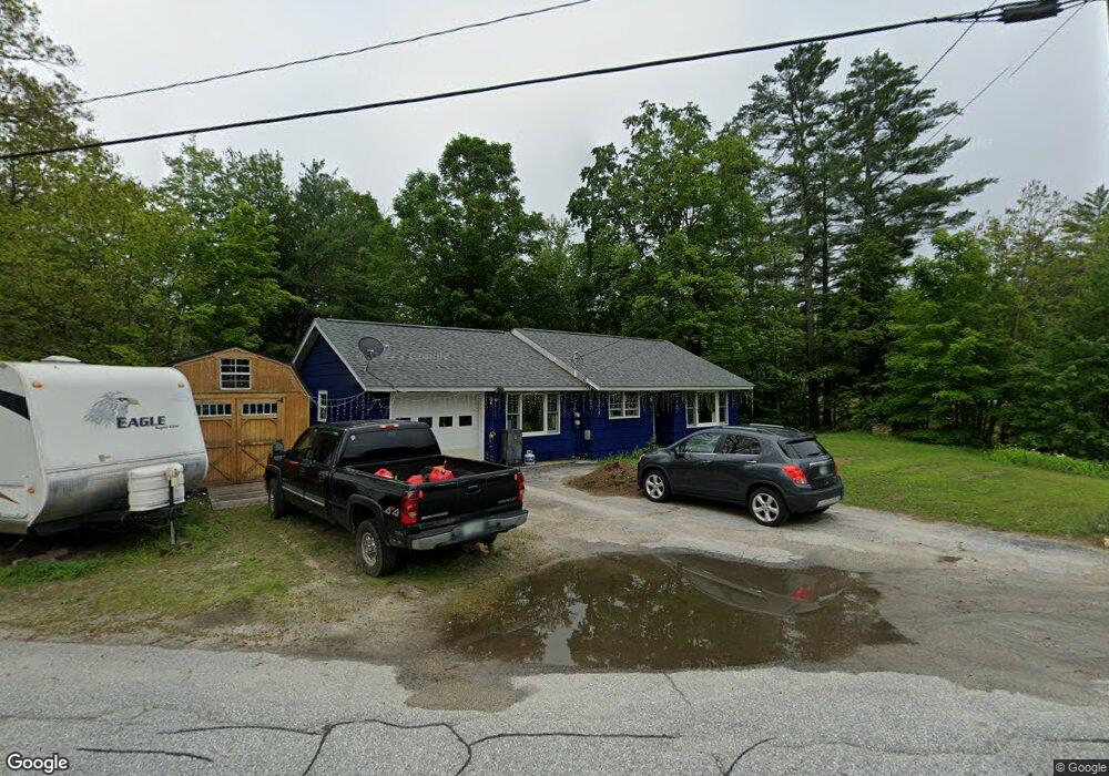
19 Sutton Rd Newbury, NH 03255
Estimated Value: $302,000 - $362,000
2
Beds
1
Bath
1,131
Sq Ft
$290/Sq Ft
Est. Value
About This Home
This home is located at 19 Sutton Rd, Newbury, NH 03255 and is currently estimated at $328,038, approximately $290 per square foot. 19 Sutton Rd is a home located in Merrimack County with nearby schools including Kearsarge Regional Elementary School at Bradford, Kearsarge Regional Middle School, and Kearsarge Regional High School.
Ownership History
Date
Name
Owned For
Owner Type
Purchase Details
Closed on
Jun 18, 2002
Sold by
Grant Virginia Murphy
Bought by
Murphy James F
Current Estimated Value
Home Financials for this Owner
Home Financials are based on the most recent Mortgage that was taken out on this home.
Original Mortgage
$50,000
Outstanding Balance
$21,126
Interest Rate
6.8%
Estimated Equity
$306,912
Create a Home Valuation Report for This Property
The Home Valuation Report is an in-depth analysis detailing your home's value as well as a comparison with similar homes in the area
Home Values in the Area
Average Home Value in this Area
Purchase History
| Date | Buyer | Sale Price | Title Company |
|---|---|---|---|
| Murphy James F | $45,000 | -- |
Source: Public Records
Mortgage History
| Date | Status | Borrower | Loan Amount |
|---|---|---|---|
| Open | Murphy James F | $50,000 |
Source: Public Records
Tax History Compared to Growth
Tax History
| Year | Tax Paid | Tax Assessment Tax Assessment Total Assessment is a certain percentage of the fair market value that is determined by local assessors to be the total taxable value of land and additions on the property. | Land | Improvement |
|---|---|---|---|---|
| 2024 | $2,369 | $181,500 | $72,200 | $109,300 |
| 2023 | $2,369 | $181,500 | $72,200 | $109,300 |
| 2022 | $2,065 | $181,500 | $72,200 | $109,300 |
| 2021 | $2,065 | $181,500 | $72,200 | $109,300 |
| 2020 | $2,204 | $133,400 | $57,100 | $76,300 |
| 2019 | $2,058 | $129,600 | $57,100 | $72,500 |
| 2018 | $2,009 | $129,600 | $57,100 | $72,500 |
| 2017 | $2,036 | $129,600 | $57,100 | $72,500 |
| 2016 | $2,080 | $129,600 | $57,100 | $72,500 |
| 2015 | $2,248 | $138,100 | $57,100 | $81,000 |
| 2014 | $2,139 | $138,100 | $57,100 | $81,000 |
| 2013 | $2,062 | $138,100 | $57,100 | $81,000 |
Source: Public Records
Map
Nearby Homes
- 108 Circle View Dr
- 420 Sutton Rd
- 200 South Rd
- 318 Old Post Rd
- 263 Old Post Rd
- 214 Winding Brook Rd
- 61 Brookside Rd
- 00 Brookside Rd Unit 530-317&525-332
- 6 Chapin Way Unit 6
- 12 Chapin Way Unit Lot 12
- 0 Crest Dr Unit 4996159
- 306 Mountain Rd
- 44 Pleasant View Rd
- 00 Fairgrounds Rd Unit 5
- 99 Newell Rd
- 98 Woodview Heights
- 55 Water St
- 114 E Main St
- 5 Greenhouse Ln
- 19 Center Rd
- 23 Sutton Rd
- 20 Sutton Rd
- 20 Sutton Road & Route 103
- 11 Sutton Rd
- 7 Sleepy St
- 542 Old Post Rd
- 0 Old Post Rd
- 0 Old Post Rd Unit 790 130512
- 0 Old Post Rd Unit 2800793
- 0 Old Post Rd Unit Lot 2 4878628
- 0 Rt 103
- 0 Rt 103
- 0 Rt 103
- 0 Rt 103 Unit 2813829
- 0 Rt 103 Unit 2813821
- 9 Sleepy St
- 11 Sleepy St
- 2 Sleepy St
- 148 Village Rd
- 15 Sleepy St