19 Symmes Rd Effingham, NH 03882
Estimated Value: $362,000 - $394,559
3
Beds
2
Baths
1,316
Sq Ft
$288/Sq Ft
Est. Value
About This Home
This home is located at 19 Symmes Rd, Effingham, NH 03882 and is currently estimated at $379,140, approximately $288 per square foot. 19 Symmes Rd is a home with nearby schools including Effingham Elementary School, Kingswood Regional Middle School, and Kingswood Regional High School.
Ownership History
Date
Name
Owned For
Owner Type
Purchase Details
Closed on
Nov 15, 2017
Sold by
Prendergast Stephen and Prendergast Victoria
Bought by
Prendergast Ret
Current Estimated Value
Purchase Details
Closed on
Jan 4, 2017
Sold by
19 Symmes Road Rt
Bought by
Prendergast Stephen and Prendergast Victoria
Purchase Details
Closed on
Jan 14, 2013
Sold by
Erickson Eileen J
Bought by
19 Symmes Road Rt
Create a Home Valuation Report for This Property
The Home Valuation Report is an in-depth analysis detailing your home's value as well as a comparison with similar homes in the area
Home Values in the Area
Average Home Value in this Area
Purchase History
| Date | Buyer | Sale Price | Title Company |
|---|---|---|---|
| Prendergast Ret | -- | -- | |
| Prendergast Stephen | -- | -- | |
| 19 Symmes Road Rt | -- | -- |
Source: Public Records
Tax History Compared to Growth
Tax History
| Year | Tax Paid | Tax Assessment Tax Assessment Total Assessment is a certain percentage of the fair market value that is determined by local assessors to be the total taxable value of land and additions on the property. | Land | Improvement |
|---|---|---|---|---|
| 2024 | $6,200 | $225,300 | $111,800 | $113,500 |
| 2023 | $5,563 | $225,300 | $111,800 | $113,500 |
| 2022 | $5,310 | $225,300 | $111,800 | $113,500 |
| 2021 | $5,107 | $227,100 | $111,800 | $115,300 |
| 2020 | $3,024 | $225,800 | $111,800 | $114,000 |
| 2019 | $0 | $170,500 | $76,600 | $93,900 |
| 2018 | $3,794 | $170,500 | $76,600 | $93,900 |
| 2017 | $3,725 | $170,500 | $76,600 | $93,900 |
| 2016 | $3,887 | $170,500 | $76,600 | $93,900 |
| 2015 | $3,490 | $170,500 | $76,600 | $93,900 |
| 2014 | $3,435 | $169,400 | $62,100 | $107,300 |
| 2013 | $3,249 | $169,400 | $62,100 | $107,300 |
Source: Public Records
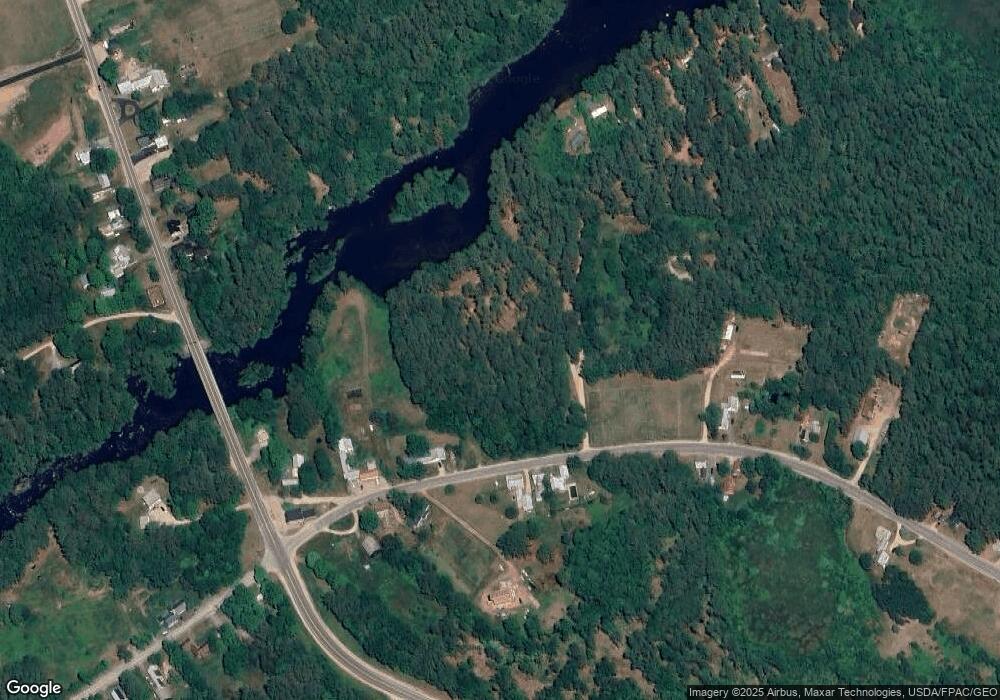
Map
Nearby Homes
- Lot 3 Parsons Rd
- Lots 0-4 Parsons Rd
- Lot 2 Parsons Rd
- Lot 4 Parsons Rd
- Lot 1 Parsons Rd
- 78 School St
- 118 Washington Rd Unit 55
- 118 Pound Round Rd
- 118 Round Pond Rd
- Lot 10 Friedman
- 50 Milford Ave
- 16 Channel Rd
- 126 Leavitt Rd
- 6 Laurel Rd
- Lot 8 Friedman Ln
- 5-11 Friedman Ln
- 5 Friedman Ln
- 10 Spur Rd
- 33 Blueberry Rd
- Lot 11 Squire Ln