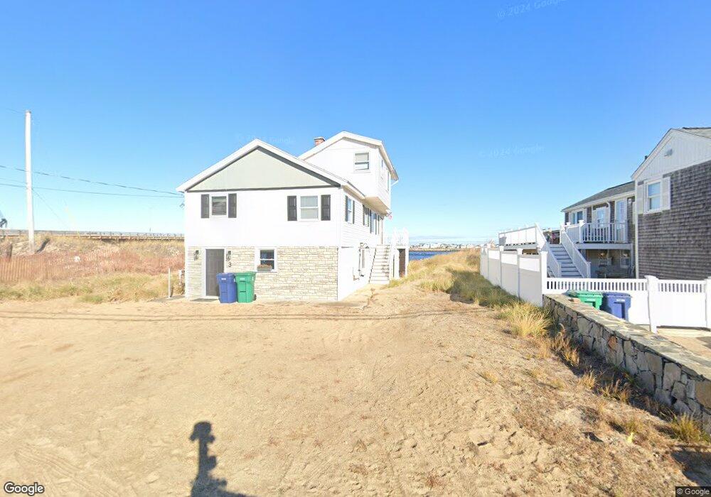
19 Thornton St Hampton, NH 03842
Seabrook Beach NeighborhoodEstimated Value: $1,319,000 - $2,190,000
7
Beds
3
Baths
3,038
Sq Ft
$610/Sq Ft
Est. Value
About This Home
This home is located at 19 Thornton St, Hampton, NH 03842 and is currently estimated at $1,853,798, approximately $610 per square foot. 19 Thornton St is a home with nearby schools including Hampton Centre School, Adeline C. Marston Elementary School, and Hampton Academy.
Ownership History
Date
Name
Owned For
Owner Type
Purchase Details
Closed on
Dec 5, 2024
Sold by
Lima Robert M and Lima Deborah E
Bought by
19 Thornton Street Rt and Lima
Current Estimated Value
Purchase Details
Closed on
Oct 11, 2023
Sold by
Riendeau Marielle T D Est and Riendeau
Bought by
Lima Robert M and Lima Deborah E
Purchase Details
Closed on
May 3, 1974
Bought by
Riendeau Marielle D
Create a Home Valuation Report for This Property
The Home Valuation Report is an in-depth analysis detailing your home's value as well as a comparison with similar homes in the area
Home Values in the Area
Average Home Value in this Area
Purchase History
| Date | Buyer | Sale Price | Title Company |
|---|---|---|---|
| 19 Thornton Street Rt | -- | None Available | |
| Lima Robert M | $1,925,000 | None Available | |
| Lima Robert M | $1,925,000 | None Available | |
| Riendeau Marielle D | -- | -- |
Source: Public Records
Mortgage History
| Date | Status | Borrower | Loan Amount |
|---|---|---|---|
| Previous Owner | Riendeau Marielle D | $6,000,000 |
Source: Public Records
Tax History
| Year | Tax Paid | Tax Assessment Tax Assessment Total Assessment is a certain percentage of the fair market value that is determined by local assessors to be the total taxable value of land and additions on the property. | Land | Improvement |
|---|---|---|---|---|
| 2025 | $23,461 | $1,904,300 | $1,221,000 | $683,300 |
| 2024 | $23,461 | $1,904,300 | $1,221,000 | $683,300 |
| 2023 | $22,296 | $1,331,100 | $928,300 | $402,800 |
| 2022 | $21,085 | $1,331,100 | $928,300 | $402,800 |
| 2021 | $21,085 | $1,331,100 | $928,300 | $402,800 |
| 2020 | $21,204 | $1,331,100 | $928,300 | $402,800 |
| 2019 | $21,311 | $1,331,100 | $928,300 | $402,800 |
| 2018 | $21,478 | $1,261,900 | $871,600 | $390,300 |
| 2017 | $20,657 | $1,261,900 | $871,600 | $390,300 |
| 2016 | $20,291 | $1,261,900 | $871,600 | $390,300 |
| 2015 | $21,955 | $1,145,900 | $853,400 | $292,500 |
| 2014 | $20,981 | $1,145,900 | $853,400 | $292,500 |
Source: Public Records
Map
Nearby Homes
- 8 Portsmouth Ave
- 108 Ocean Dr Unit 1
- 78 Pembroke St
- 5 Ocean Blvd Unit 2
- 14 Dover Ave Unit 1
- 14 Dover Ave Unit 3
- 7 Dover Ave
- 13 Ocean Blvd
- 15 Ocean Blvd
- 180 Ashworth Ave Unit 101
- 376 Ocean Blvd
- 562 Nashua St
- 5 Fellows Ave
- 169 Ashworth Ave
- 23 River St
- 9A N St
- 15 Riverview Terrace
- 3 Perkins Ave Unit 2
- 3 Perkins Ave Unit 1
- 3 Perkins Ave Unit 3
Your Personal Tour Guide
Ask me questions while you tour the home.