19 Umbrella Point Wolfeboro, NH 03894
Estimated Value: $2,704,000 - $5,132,672
3
Beds
2
Baths
2,957
Sq Ft
$1,201/Sq Ft
Est. Value
About This Home
This home is located at 19 Umbrella Point, Wolfeboro, NH 03894 and is currently estimated at $3,552,557, approximately $1,201 per square foot. 19 Umbrella Point is a home located in Carroll County with nearby schools including Carpenter Elementary School, Crescent Lake School, and Kingswood Regional Middle School.
Ownership History
Date
Name
Owned For
Owner Type
Purchase Details
Closed on
Aug 8, 2019
Sold by
Janet A Simmonds Ret and Simmonds
Bought by
Robert C Simmonds Ret and Simmonds
Current Estimated Value
Purchase Details
Closed on
Jun 19, 2017
Sold by
Simmonds Robert C and Simmonds Janet A
Bought by
Robert C Simmonds Ret
Create a Home Valuation Report for This Property
The Home Valuation Report is an in-depth analysis detailing your home's value as well as a comparison with similar homes in the area
Home Values in the Area
Average Home Value in this Area
Purchase History
We collect this data history from publicly available records. To have your information removed, we recommend requesting removal directly through your county’s website.
| Date | Buyer | Sale Price | Title Company |
|---|---|---|---|
| Robert C Simmonds Ret | -- | -- | |
| Robert C Simmonds Ret | -- | -- |
Source: Public Records
Tax History
| Year | Tax Paid | Tax Assessment Tax Assessment Total Assessment is a certain percentage of the fair market value that is determined by local assessors to be the total taxable value of land and additions on the property. | Land | Improvement |
|---|---|---|---|---|
| 2025 | $34,513 | $4,128,400 | $3,533,000 | $595,400 |
| 2024 | $31,773 | $1,998,300 | $1,658,300 | $340,000 |
| 2023 | $29,070 | $1,978,900 | $1,658,300 | $320,600 |
| 2022 | $26,161 | $1,978,900 | $1,658,300 | $320,600 |
| 2021 | $27,052 | $1,978,900 | $1,658,300 | $320,600 |
| 2020 | $3,943 | $1,976,300 | $1,658,300 | $318,000 |
| 2019 | $25,171 | $1,589,100 | $1,326,800 | $262,300 |
| 2018 | $3,879 | $1,589,100 | $1,326,800 | $262,300 |
| 2017 | $23,805 | $1,589,100 | $1,326,800 | $262,300 |
| 2016 | $23,249 | $1,589,100 | $1,326,800 | $262,300 |
| 2015 | $22,168 | $1,589,100 | $1,326,800 | $262,300 |
| 2014 | $20,028 | $1,539,400 | $1,275,000 | $264,400 |
| 2013 | $19,751 | $1,539,400 | $1,275,000 | $264,400 |
Source: Public Records
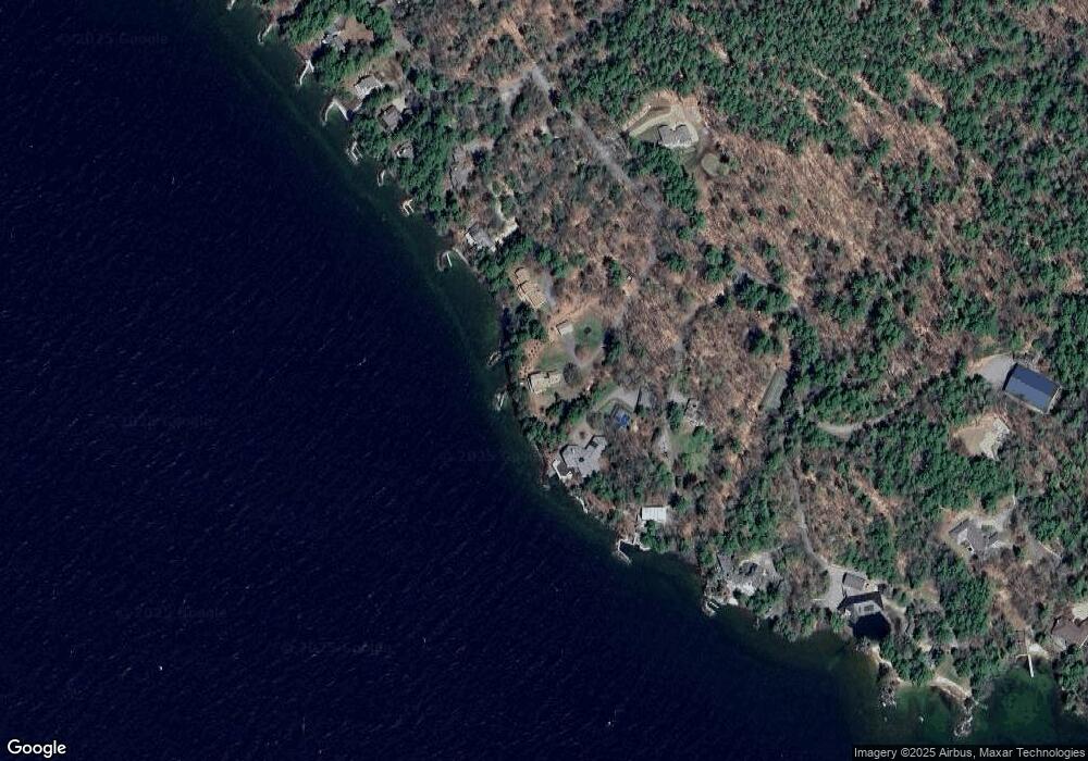
Map
Nearby Homes
- 9 Umbrella Point
- 80 Parker Island Rd
- 35 Rocky Shore Rd
- 20 Wyman Dr
- 12 Laurel Cir
- 4 Mulberry Ct
- 630 Rattlesnake Island
- 178 Rattlesnake Island
- 878 Rattlesnake Island
- 9 Hemlock Dr
- 1 Farm House Ln Unit 2
- 244 N Main St
- 680 N Main St Unit 13
- 222 N Main St
- 9 Old Lakeview Terrace
- 1 Robin Acres Dr
- 35 Robin Acres Dr
- 6 Governor Wentworth Hwy
- 11 Robin Acres Dr
- 165 Ambrose Way
- 27 Umbrella Point
- 5 Umbrella Point
- 29 Umbrella Point
- 80 Broadside Rd
- 84 Broadside Rd
- 34 Umbrella Point
- 31 Umbrella Point
- 6 Umbrella Point
- 86 Broadside Rd
- 88 Broadside Rd
- 98 Broadside Rd
- 95 Broadside Rd
- 104 Broadside Rd
- 84 Parker Island Rd
- 45 Umbrella Point
- 45 Umbrella Point
- 106 Broadside Rd
- 108 Broadside Rd
- 112 Broadside Rd
- 80 Parker Island Rd
Your Personal Tour Guide
Ask me questions while you tour the home.