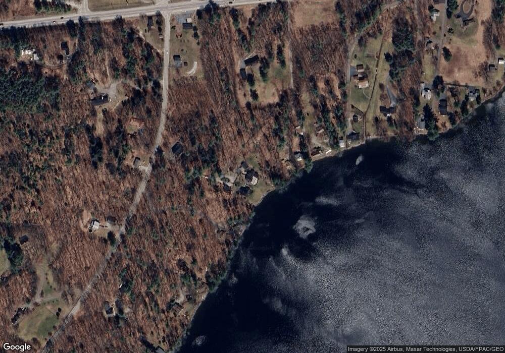
19 Weston Ln Winthrop, ME 04364
Estimated Value: $400,000 - $1,289,355
Studio
--
Bath
--
Sq Ft
6
Acres
About This Home
This home is located at 19 Weston Ln, Winthrop, ME 04364 and is currently estimated at $753,785. 19 Weston Ln is a home with nearby schools including Winthrop Grade School, Winthrop Middle School, and Winthrop High School.
Ownership History
Date
Name
Owned For
Owner Type
Purchase Details
Closed on
Aug 20, 2015
Sold by
Weston Robert N and Weston Monica N
Bought by
Lacasse Marc V and Lacasse Paula J
Current Estimated Value
Home Financials for this Owner
Home Financials are based on the most recent Mortgage that was taken out on this home.
Original Mortgage
$500,000
Outstanding Balance
$392,846
Interest Rate
4%
Mortgage Type
Adjustable Rate Mortgage/ARM
Estimated Equity
$360,939
Purchase Details
Closed on
Feb 26, 2015
Sold by
Weston Robert N
Bought by
Weston Robert N and Weston Monica N
Create a Home Valuation Report for This Property
The Home Valuation Report is an in-depth analysis detailing your home's value as well as a comparison with similar homes in the area
Home Values in the Area
Average Home Value in this Area
Purchase History
| Date | Buyer | Sale Price | Title Company |
|---|---|---|---|
| Lacasse Marc V | -- | -- | |
| Weston Robert N | -- | -- |
Source: Public Records
Mortgage History
| Date | Status | Borrower | Loan Amount |
|---|---|---|---|
| Open | Lacasse Marc V | $500,000 |
Source: Public Records
Tax History
| Year | Tax Paid | Tax Assessment Tax Assessment Total Assessment is a certain percentage of the fair market value that is determined by local assessors to be the total taxable value of land and additions on the property. | Land | Improvement |
|---|---|---|---|---|
| 2024 | $13,289 | $575,300 | $281,100 | $294,200 |
| 2022 | $12,524 | $575,300 | $281,100 | $294,200 |
| 2021 | $9,305 | $452,800 | $281,100 | $171,700 |
| 2020 | $4,010 | $452,800 | $281,100 | $171,700 |
| 2019 | $4,010 | $452,800 | $281,100 | $171,700 |
| 2018 | $3,905 | $552,900 | $281,100 | $271,800 |
| 2017 | $3,474 | $552,900 | $281,100 | $271,800 |
| 2016 | $3,395 | $548,500 | $281,100 | $267,400 |
| 2015 | $8,381 | $548,500 | $281,100 | $267,400 |
| 2014 | -- | $548,500 | $281,100 | $267,400 |
Source: Public Records
Map
Nearby Homes
- 54 Old Village Rd
- 64 Pineland Dr
- 2549 US Route 202
- 616 Stanley Rd
- Lot 55 S Birchwood Ln
- 226 Pond Rd
- 35 Estates Dr Unit 3
- 43 Estates Dr Unit 1
- 50 Country Club Rd
- 183 Loon Cove Ln
- 364 Metcalf Rd
- 10 Short St Unit 12
- 90 Bearce Rd
- 0 Cross St
- 26 Peggy Ln
- 0 Ingraham St
- 476 Winthrop Center Rd
- 882 Memorial Dr
- 232 Narrows Pond Rd
- 89 Boot Cove Ln
- 25 Harris Ln
- 31 Harris Ln
- 44 South Rd
- 44 South Rd Unit NARROWS
- 32 Harris Ln
- 47 Harris Ln
- 35 South Rd
- 33 South Rd
- 38 Loch Ln
- 2367 Us Route 202
- 18 Gannett Ln
- 16 South Rd
- 51 South Rd
- 51 South Rd Unit NARROWS
- 31 Blaine Ln
- Lots 7,8 South Rd
- Lot 5,6 South Rd
- 0 South Rd Unit 259502
- 0 South Rd Unit 259374
- 0 South Rd Unit 384765
