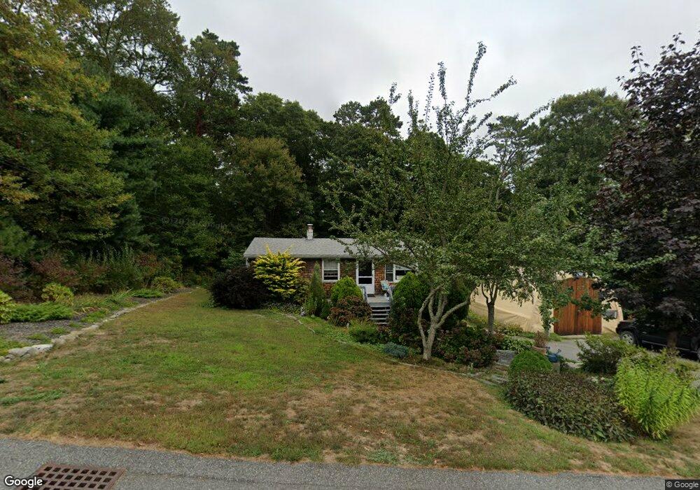
19 White Pine Ln East Falmouth, MA 02536
Hatchville NeighborhoodEstimated Value: $449,000 - $574,000
4
Beds
2
Baths
1,700
Sq Ft
$303/Sq Ft
Est. Value
About This Home
This home is located at 19 White Pine Ln, East Falmouth, MA 02536 and is currently estimated at $515,794, approximately $303 per square foot. 19 White Pine Ln is a home located in Barnstable County with nearby schools including Mullen-Hall School, Morse Pond School, and Lawrence School.
Ownership History
Date
Name
Owned For
Owner Type
Purchase Details
Closed on
Aug 9, 2017
Sold by
Butler Susan J
Bought by
Butler Luanne B
Current Estimated Value
Purchase Details
Closed on
Nov 8, 1996
Sold by
Citrin Nina and Soepnoff Beatrice
Bought by
Butler Susan J
Home Financials for this Owner
Home Financials are based on the most recent Mortgage that was taken out on this home.
Original Mortgage
$54,000
Interest Rate
8.1%
Mortgage Type
Purchase Money Mortgage
Create a Home Valuation Report for This Property
The Home Valuation Report is an in-depth analysis detailing your home's value as well as a comparison with similar homes in the area
Home Values in the Area
Average Home Value in this Area
Purchase History
| Date | Buyer | Sale Price | Title Company |
|---|---|---|---|
| Butler Luanne B | -- | -- | |
| Butler Luanne B | -- | -- | |
| Butler Susan J | $72,000 | -- | |
| Butler Susan J | $72,000 | -- |
Source: Public Records
Mortgage History
| Date | Status | Borrower | Loan Amount |
|---|---|---|---|
| Previous Owner | Butler Susan J | $121,000 | |
| Previous Owner | Butler Susan J | $54,000 |
Source: Public Records
Tax History Compared to Growth
Tax History
| Year | Tax Paid | Tax Assessment Tax Assessment Total Assessment is a certain percentage of the fair market value that is determined by local assessors to be the total taxable value of land and additions on the property. | Land | Improvement |
|---|---|---|---|---|
| 2025 | $2,324 | $395,900 | $140,400 | $255,500 |
| 2024 | $2,276 | $362,400 | $133,000 | $229,400 |
| 2023 | $2,274 | $328,600 | $133,000 | $195,600 |
| 2022 | $1,798 | $223,300 | $100,300 | $123,000 |
| 2021 | $1,754 | $206,300 | $95,900 | $110,400 |
| 2020 | $1,697 | $197,600 | $87,200 | $110,400 |
| 2019 | $1,642 | $191,800 | $87,200 | $104,600 |
| 2018 | $1,607 | $186,900 | $87,200 | $99,700 |
| 2017 | $1,565 | $183,500 | $87,200 | $96,300 |
| 2016 | $1,518 | $181,400 | $87,200 | $94,200 |
| 2015 | $1,486 | $181,400 | $87,200 | $94,200 |
| 2014 | $1,540 | $188,900 | $91,800 | $97,100 |
Source: Public Records
Map
Nearby Homes
- 590 Sandwich Rd
- 25 Harris Hill Rd
- 68 Deepwood Dr
- 17 Pinewood Dr
- 59 Whitecaps Dr
- 70 Meredith Dr
- 100 Tanglewood Dr
- 66 Braxton Rd
- 12 Rock Hollow Dr
- 3 Viber Ln
- 32 Jamie Ln
- 130 Old Barnstable Rd
- 273 Sandwich Rd
- 809 Sandwich Rd
- 149 Brick Kiln Rd
- 23 Little John Rd
- 33 John Parker Rd
- 35 Old Barnstable Rd
- 24 Little John Rd
- 17 White Pine Ln
- 74 Lake Shore Dr
- 22 White Pine Ln
- 18 White Pine Ln
- 82 Lake Shore Dr
- 72 Lake Shore Dr
- 11 White Pine Ln
- 12 White Pine Ln
- 23 Corrine Dr
- 66 Lake Shore Dr
- 88 Lake Shore Dr
- 19 Corrine Dr
- 7 White Pine Ln
- 77 Lake Shore Dr
- 8 White Pine Ln
- 73 Lake Shore Dr
- 15 Corrine Dr
- 64 Lake Shore Dr
- 83 Lake Shore Dr
- 25 Corrine Dr