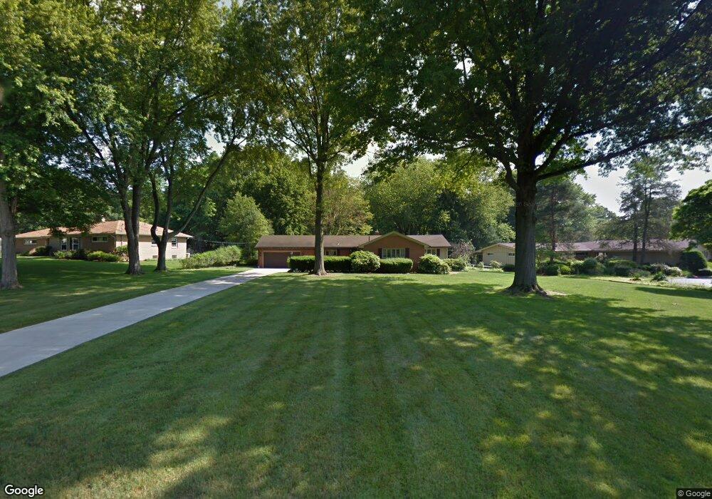
19 Wildfern Dr Youngstown, OH 44505
Estimated Value: $229,000 - $287,000
3
Beds
3
Baths
2,182
Sq Ft
$117/Sq Ft
Est. Value
About This Home
This home is located at 19 Wildfern Dr, Youngstown, OH 44505 and is currently estimated at $255,588, approximately $117 per square foot. 19 Wildfern Dr is a home located in Trumbull County with nearby schools including E.J. Blott Elementary School, William S. Guy Middle School, and Liberty High School.
Ownership History
Date
Name
Owned For
Owner Type
Purchase Details
Closed on
Jan 2, 2013
Sold by
Armstrong B Charles
Bought by
Armstrong David S
Current Estimated Value
Purchase Details
Closed on
Aug 4, 2009
Sold by
Armstrong Byron E
Bought by
Armstrong Byron E
Purchase Details
Closed on
Apr 12, 2007
Sold by
Armstrong Barbara
Bought by
Armstrong Byron E
Purchase Details
Closed on
Apr 9, 2007
Sold by
Armstrong Barbara
Bought by
Armstrong Byron E
Purchase Details
Closed on
Jan 1, 1990
Bought by
Byron E Armstrong
Create a Home Valuation Report for This Property
The Home Valuation Report is an in-depth analysis detailing your home's value as well as a comparison with similar homes in the area
Home Values in the Area
Average Home Value in this Area
Purchase History
| Date | Buyer | Sale Price | Title Company |
|---|---|---|---|
| Armstrong David S | -- | None Available | |
| Armstrong Byron E | -- | Attorney | |
| Armstrong Byron E | -- | None Available | |
| Armstrong Byron E | -- | None Available | |
| Byron E Armstrong | -- | -- |
Source: Public Records
Tax History Compared to Growth
Tax History
| Year | Tax Paid | Tax Assessment Tax Assessment Total Assessment is a certain percentage of the fair market value that is determined by local assessors to be the total taxable value of land and additions on the property. | Land | Improvement |
|---|---|---|---|---|
| 2024 | $3,309 | $63,780 | $10,120 | $53,660 |
| 2023 | $3,309 | $63,780 | $10,120 | $53,660 |
| 2022 | $3,206 | $49,600 | $8,890 | $40,710 |
| 2021 | $3,212 | $49,600 | $8,890 | $40,710 |
| 2020 | $3,219 | $49,600 | $8,890 | $40,710 |
| 2019 | $3,258 | $44,280 | $8,890 | $35,390 |
| 2018 | $3,238 | $44,280 | $8,890 | $35,390 |
| 2017 | $3,150 | $44,280 | $8,890 | $35,390 |
| 2016 | $2,978 | $41,270 | $8,930 | $32,340 |
| 2015 | $2,989 | $41,270 | $8,930 | $32,340 |
| 2014 | $3,053 | $41,270 | $8,930 | $32,340 |
| 2013 | $2,276 | $41,270 | $8,930 | $32,340 |
Source: Public Records
Map
Nearby Homes
- 28 Wildfern Dr
- 9 Redfern Dr
- 1303 Stonington Dr
- 0 Stonington Dr
- 3712 Logan Way
- 1363 Country Club Dr
- 3735 Sampson Rd
- 3730 Saint Andrews Dr
- 0 Saint Andrews Dr Unit 3940756
- 0 Saint Andrews Dr Unit 5061337
- 0 Saint Andrews Dr Unit 5061335
- 3530 5th Ave
- 0 Little Rd N Unit 5134313
- 2012 Crestwood Blvd
- 4260 Logan Way
- 2021 Crestwood Blvd
- 3699 Staunton Dr
- 2010 Powder Mill Run
- 3502 Somerset Dr Unit B
- 0 Powder Mill Run Unit 5127333