19 Williamsburg Ave Unit 19 A Gilford, NH 03249
Estimated Value: $729,031 - $1,015,000
3
Beds
3
Baths
2,584
Sq Ft
$335/Sq Ft
Est. Value
About This Home
This home is located at 19 Williamsburg Ave Unit 19 A, Gilford, NH 03249 and is currently estimated at $866,008, approximately $335 per square foot. 19 Williamsburg Ave Unit 19 A is a home located in Belknap County with nearby schools including Gilford Elementary School, Gilford Middle School, and Gilford High School.
Ownership History
Date
Name
Owned For
Owner Type
Purchase Details
Closed on
Jun 4, 2004
Sold by
Simmons Vernon A and Simmons Martha H
Bought by
Engle Gail A
Current Estimated Value
Home Financials for this Owner
Home Financials are based on the most recent Mortgage that was taken out on this home.
Original Mortgage
$435,000
Outstanding Balance
$211,788
Interest Rate
5.94%
Mortgage Type
Purchase Money Mortgage
Estimated Equity
$654,220
Create a Home Valuation Report for This Property
The Home Valuation Report is an in-depth analysis detailing your home's value as well as a comparison with similar homes in the area
Home Values in the Area
Average Home Value in this Area
Purchase History
| Date | Buyer | Sale Price | Title Company |
|---|---|---|---|
| Engle Gail A | $400,000 | -- |
Source: Public Records
Mortgage History
| Date | Status | Borrower | Loan Amount |
|---|---|---|---|
| Open | Engle Gail A | $152,000 | |
| Closed | Engle Gail A | $35,000 | |
| Closed | Engle Gail A | $150,000 | |
| Open | Engle Gail A | $435,000 |
Source: Public Records
Tax History Compared to Growth
Tax History
| Year | Tax Paid | Tax Assessment Tax Assessment Total Assessment is a certain percentage of the fair market value that is determined by local assessors to be the total taxable value of land and additions on the property. | Land | Improvement |
|---|---|---|---|---|
| 2024 | $7,341 | $652,510 | $121,210 | $531,300 |
| 2023 | $6,721 | $652,510 | $121,210 | $531,300 |
| 2022 | $6,711 | $547,810 | $121,210 | $426,600 |
| 2021 | $6,727 | $547,810 | $121,210 | $426,600 |
| 2020 | $6,951 | $462,450 | $100,550 | $361,900 |
| 2019 | $7,524 | $474,370 | $116,170 | $358,200 |
| 2018 | $6,680 | $392,000 | $91,700 | $300,300 |
| 2017 | $6,766 | $392,000 | $91,700 | $300,300 |
| 2016 | $6,821 | $380,000 | $91,700 | $288,300 |
| 2015 | $7,054 | $392,520 | $110,920 | $281,600 |
| 2011 | $6,916 | $372,820 | $110,920 | $261,900 |
Source: Public Records
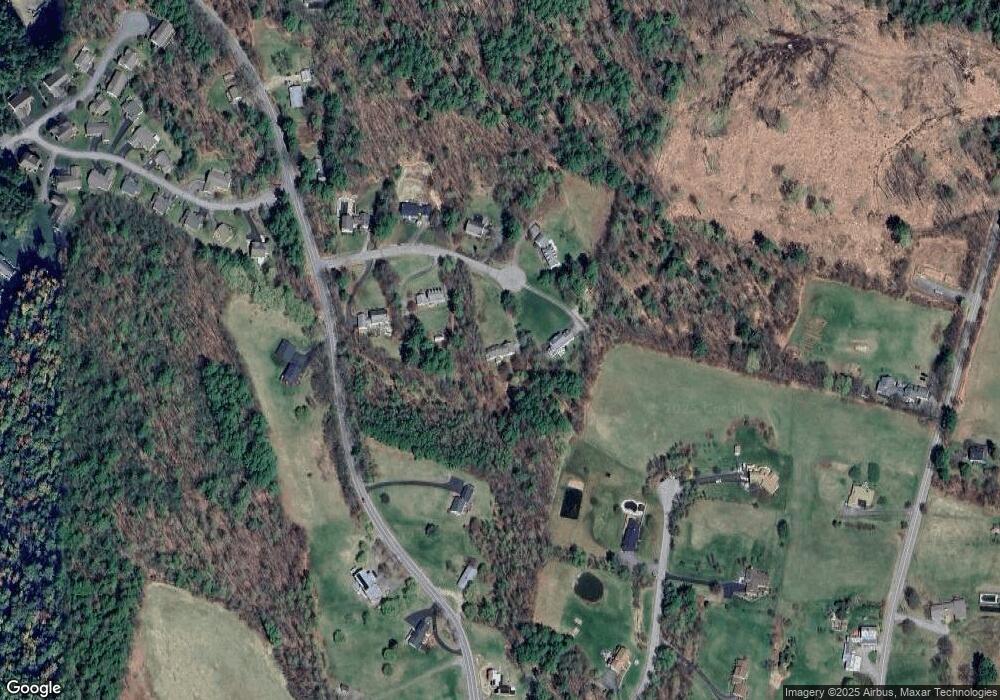
Map
Nearby Homes
- 84 Old Lake Shore Rd
- 44 Gilford Dr E
- 8 Mulberry Hill Rd Unit B
- 71 Annis Dr Unit 1
- 30 Beacon Hill Rd
- 9 Lily Pond Rd
- 23 Liscomb Cir Unit 58
- 19 Knollwood Dr
- 778 Gilford Ave
- 320 Old Lake Shore Rd Unit 3
- 343 Old Lake Shore Rd Unit 32
- 119 Cherry Valley Rd
- 771 Gilford Ave
- 30 Belknap Mountain Rd
- 31 Henderson Rd Unit 17
- 32 David Lewis Rd
- 30 Farmer Dr
- 9 Sargents Place Unit 35
- 9 Sargents Place Unit 84
- 9 Sargents Place Unit 23
- 19 Williamsburg Ave
- 23 Williamsburg Ave
- 11 Williamsburg Ave
- 9 Little Way
- 22 Williamsburg Ave
- 22 Williamsburg Ave
- 18 Williamsburg Ave
- 101 Watson Rd
- 5 Williamsburg Ave
- 12 Williamsburg Ave
- 15 Williamsburg Ave Unit B
- 3 Williamsburg Ave Unit B
- 3 Williamsburg Ave Unit 3 - C
- 3 Williamsburg Ave Unit 3B
- 3 Williamsburg Ave Unit 3A
- 89 Watson Rd
- 6 Williamsburg Ave
- 36 Gilman Dr
- 116 Watson Rd
- 115 Watson Rd