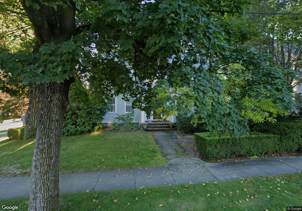
19 Wilson St Natick, MA 01760
Estimated Value: $1,097,000 - $1,263,000
4
Beds
3
Baths
2,564
Sq Ft
$463/Sq Ft
Est. Value
About This Home
This home is located at 19 Wilson St, Natick, MA 01760 and is currently estimated at $1,187,060, approximately $462 per square foot. 19 Wilson St is a home located in Middlesex County with nearby schools including Natick High School, Lilja Elementary School, and Wilson Middle School.
Ownership History
Date
Name
Owned For
Owner Type
Purchase Details
Closed on
Nov 9, 2007
Sold by
Russell Amy S and Russell Mark E
Bought by
Dwyer Noel L H and Dwyer Ian P
Current Estimated Value
Purchase Details
Closed on
Oct 1, 1998
Sold by
Smith Beatrice D and Smith William
Bought by
Russell Mark E and Russell Amy S
Create a Home Valuation Report for This Property
The Home Valuation Report is an in-depth analysis detailing your home's value as well as a comparison with similar homes in the area
Home Values in the Area
Average Home Value in this Area
Purchase History
| Date | Buyer | Sale Price | Title Company |
|---|---|---|---|
| Dwyer Noel L H | $617,500 | -- | |
| Russell Mark E | $295,000 | -- |
Source: Public Records
Mortgage History
| Date | Status | Borrower | Loan Amount |
|---|---|---|---|
| Open | Russell Mark E | $377,000 | |
| Closed | Russell Mark E | $381,000 |
Source: Public Records
Tax History
| Year | Tax Paid | Tax Assessment Tax Assessment Total Assessment is a certain percentage of the fair market value that is determined by local assessors to be the total taxable value of land and additions on the property. | Land | Improvement |
|---|---|---|---|---|
| 2025 | $11,458 | $958,000 | $449,500 | $508,500 |
| 2024 | $11,027 | $899,400 | $424,600 | $474,800 |
| 2023 | $10,624 | $840,500 | $399,600 | $440,900 |
| 2022 | $10,213 | $765,600 | $364,600 | $401,000 |
| 2021 | $9,733 | $715,100 | $344,600 | $370,500 |
| 2020 | $9,326 | $685,200 | $314,700 | $370,500 |
| 2019 | $8,709 | $685,200 | $314,700 | $370,500 |
| 2018 | $8,639 | $662,000 | $299,700 | $362,300 |
| 2017 | $8,368 | $620,300 | $264,700 | $355,600 |
| 2016 | $8,170 | $602,100 | $249,700 | $352,400 |
| 2015 | $7,920 | $573,100 | $249,700 | $323,400 |
Source: Public Records
Map
Nearby Homes
- 11 Avon St
- 10 Lincoln St Unit 10
- 6A Lincoln St Unit 6A
- 4B Lincoln St Unit 4B
- 3A Wilson St Unit 3A
- 3 Wilson St Unit 3B
- 67 E Central St & 5 Union St
- 45 Summer St
- 12 Floral Ave
- 3 Vale St Unit A
- 49 Summer St
- 16 Harvard St
- 17 Florence St
- 20 Florence St Unit B
- 53 Harvard Street Extension
- 63 Pond St
- 6 Floral Avenue Extension
- 34 Marion St
- 14 Pinewood Ave
- 7 High St
- 17 Wilson St
- 17 Wilson St Unit All
- 89 Wilson Morency Unit 89
- 89 Wilson St Unit 89
- 15 Sherman St
- 15 Sherman St Unit 1
- 15 Sherman St Unit 2
- 18 Lincoln St
- 15 Wilson St
- 24 Wilson St
- 16 Lincoln St
- 109 Wilson St Unit 109
- 13 Sherman St
- 17 Sherman St
- 20 Wilson St
- 20 Wilson St Unit 2
- 20 Wilson St Unit 1
- 11 Sherman St
- 22 Wilson St
- 88 Wilson St Unit 88
Your Personal Tour Guide
Ask me questions while you tour the home.