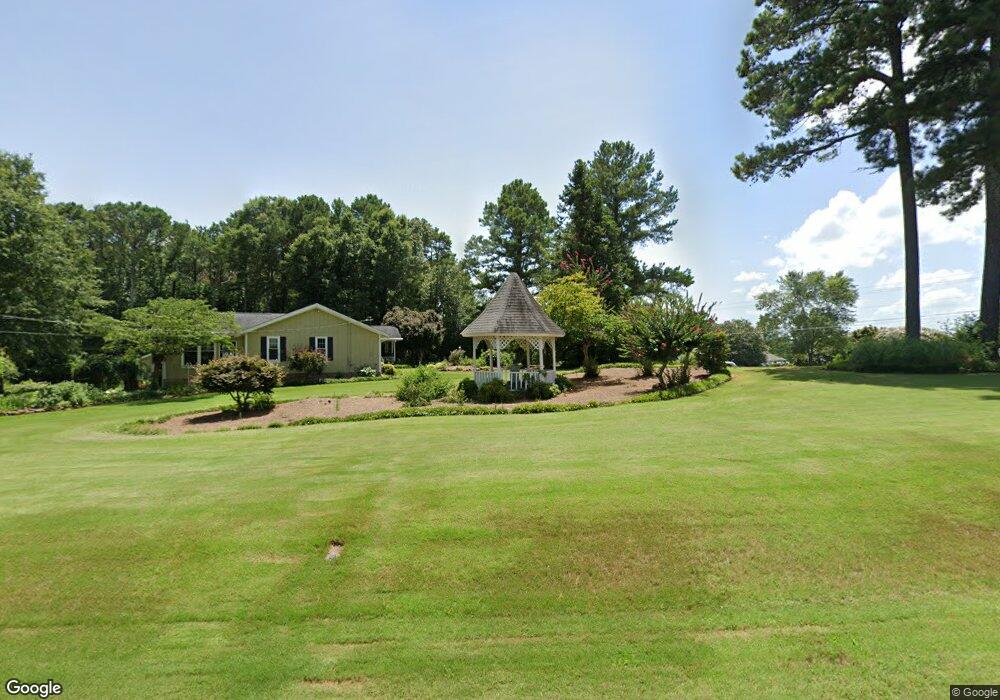
19 Woodsford Rd Sharpsburg, GA 30277
Estimated Value: $317,000 - $366,831
3
Beds
3
Baths
1,689
Sq Ft
$205/Sq Ft
Est. Value
About This Home
This home is located at 19 Woodsford Rd, Sharpsburg, GA 30277 and is currently estimated at $346,458, approximately $205 per square foot. 19 Woodsford Rd is a home located in Coweta County with nearby schools including Canongate Elementary School, Madras Middle School, and Northgate High School.
Ownership History
Date
Name
Owned For
Owner Type
Purchase Details
Closed on
Feb 14, 2025
Sold by
Miller Gloria W Trust
Bought by
Reid Annie and Reid Robert
Current Estimated Value
Home Financials for this Owner
Home Financials are based on the most recent Mortgage that was taken out on this home.
Original Mortgage
$200,000
Outstanding Balance
$198,672
Interest Rate
7.04%
Mortgage Type
New Conventional
Estimated Equity
$147,786
Purchase Details
Closed on
Nov 5, 2014
Sold by
Miller Richard C
Bought by
Miller Richard and Trustees Of Richard & Gloria M
Purchase Details
Closed on
Oct 13, 1977
Bought by
Miller Richard C and Miller G
Create a Home Valuation Report for This Property
The Home Valuation Report is an in-depth analysis detailing your home's value as well as a comparison with similar homes in the area
Home Values in the Area
Average Home Value in this Area
Purchase History
| Date | Buyer | Sale Price | Title Company |
|---|---|---|---|
| Reid Annie | $335,000 | -- | |
| Miller Richard | -- | -- | |
| Miller Richard C | $50,000 | -- |
Source: Public Records
Mortgage History
| Date | Status | Borrower | Loan Amount |
|---|---|---|---|
| Open | Reid Annie | $200,000 |
Source: Public Records
Tax History Compared to Growth
Tax History
| Year | Tax Paid | Tax Assessment Tax Assessment Total Assessment is a certain percentage of the fair market value that is determined by local assessors to be the total taxable value of land and additions on the property. | Land | Improvement |
|---|---|---|---|---|
| 2025 | -- | $108,073 | $13,104 | $94,968 |
| 2024 | -- | $106,790 | $12,247 | $94,543 |
| 2023 | $20 | $112,314 | $11,340 | $100,974 |
| 2022 | $12 | $103,091 | $10,800 | $92,291 |
| 2021 | $0 | $77,336 | $10,800 | $66,536 |
| 2020 | $2,059 | $77,336 | $10,800 | $66,536 |
| 2019 | $2,059 | $70,329 | $12,170 | $58,158 |
| 2018 | $0 | $70,329 | $12,170 | $58,158 |
| 2017 | $0 | $70,329 | $12,170 | $58,159 |
| 2016 | -- | $70,329 | $12,170 | $58,158 |
| 2015 | -- | $63,100 | $12,170 | $50,929 |
| 2014 | $1,654 | $63,100 | $12,170 | $50,929 |
Source: Public Records
Map
Nearby Homes
- 11 Line Creek Cir
- 121 Northwoods Rd
- 95 Tyler Woods Dr
- 25 Sycamore Way
- 12 Race Point Way
- 319 Beaconsfield Dr
- 125 Cannongate Cir
- 75 Tomahawk Dr
- 259 Strathmore Dr Unit 3
- 131 Cannongate Cir
- 100 Ashland Trail
- 104 Ashland Trail
- 115 Platinum Ridge
- 9 Platinum Overlook
- 10 Monteray Ct
- 107 Iron Oak Dr
- 2043 Fischer Rd
- 2039 Fischer Rd
- 208 Silver Maple Ct
- 20 Skipton Ct
- 12 Woodsford Rd
- 25 Woodsford Rd
- 26 Woodsford Rd
- 1264 Minix Rd
- 45 Woodsford Rd
- 110 Northwoods Rd
- 1307 Minix Rd
- 734 Major Rd
- 1232 Minix Rd
- 44 Northwoods Rd
- 164 Woodsford Rd
- 150* Woodsford Rd Unit 2.40 / 61
- 105 Northwoods Rd
- 1351 Minix Rd
- 21 Woodsford Rd
- 25 Northwoods Rd
- 43 Northwoods Rd Unit 1
- 72 Northwoods Rd
- 101 Woodsford Rd
- 110 Woodsford Rd