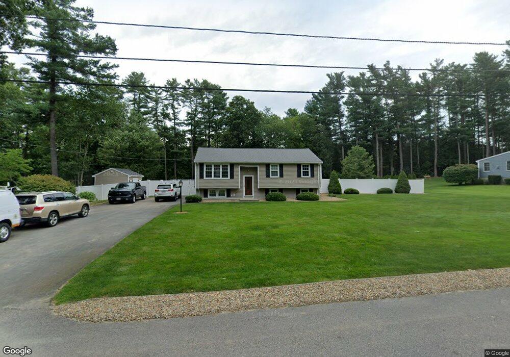
190 Andrew Ln Hanson, MA 02341
Estimated Value: $509,460 - $629,000
3
Beds
1
Bath
1,024
Sq Ft
$555/Sq Ft
Est. Value
About This Home
This home is located at 190 Andrew Ln, Hanson, MA 02341 and is currently estimated at $568,365, approximately $555 per square foot. 190 Andrew Ln is a home located in Plymouth County.
Ownership History
Date
Name
Owned For
Owner Type
Purchase Details
Closed on
Apr 21, 1989
Sold by
P&G Distributing Co
Bought by
Holmberg Ralph C
Current Estimated Value
Home Financials for this Owner
Home Financials are based on the most recent Mortgage that was taken out on this home.
Original Mortgage
$100,000
Interest Rate
10.79%
Mortgage Type
Purchase Money Mortgage
Purchase Details
Closed on
Feb 23, 1989
Sold by
Linehan Timothy J
Bought by
Distr Procter and Distr Gamble
Home Financials for this Owner
Home Financials are based on the most recent Mortgage that was taken out on this home.
Original Mortgage
$100,000
Interest Rate
10.79%
Mortgage Type
Purchase Money Mortgage
Purchase Details
Closed on
Feb 26, 1988
Sold by
Pratt Jeffrey C
Bought by
Linehan Timothy J
Create a Home Valuation Report for This Property
The Home Valuation Report is an in-depth analysis detailing your home's value as well as a comparison with similar homes in the area
Home Values in the Area
Average Home Value in this Area
Purchase History
| Date | Buyer | Sale Price | Title Company |
|---|---|---|---|
| Holmberg Ralph C | $156,000 | -- | |
| Distr Procter | $155,000 | -- | |
| Linehan Timothy J | $154,500 | -- |
Source: Public Records
Mortgage History
| Date | Status | Borrower | Loan Amount |
|---|---|---|---|
| Open | Linehan Timothy J | $70,000 | |
| Closed | Linehan Timothy J | $100,000 | |
| Closed | Linehan Timothy J | $100,000 |
Source: Public Records
Tax History Compared to Growth
Tax History
| Year | Tax Paid | Tax Assessment Tax Assessment Total Assessment is a certain percentage of the fair market value that is determined by local assessors to be the total taxable value of land and additions on the property. | Land | Improvement |
|---|---|---|---|---|
| 2025 | $5,765 | $430,900 | $181,000 | $249,900 |
| 2024 | $5,645 | $421,900 | $175,800 | $246,100 |
| 2023 | $5,326 | $375,600 | $175,800 | $199,800 |
| 2022 | $5,194 | $344,200 | $159,800 | $184,400 |
| 2021 | $4,744 | $314,200 | $153,700 | $160,500 |
| 2020 | $4,673 | $306,000 | $148,400 | $157,600 |
| 2019 | $4,494 | $289,400 | $145,600 | $143,800 |
| 2018 | $10,906 | $280,400 | $140,000 | $140,400 |
| 2017 | $4,300 | $269,100 | $133,300 | $135,800 |
| 2016 | $4,356 | $263,200 | $133,300 | $129,900 |
| 2015 | $4,142 | $260,200 | $133,300 | $126,900 |
Source: Public Records
Map
Nearby Homes
- 456 Gorwin Dr
- 134 Crescent St
- Lot 2 Harvard Rd
- Lot 6 Way
- 37 Brook St
- 456 Maquan St
- 269 Lakeside Rd
- 57 Liberty St
- 248 E Washington St
- 418 E Washington St
- Lot 5 Princeton Way
- 842 E Washington St
- 15 Elm Place
- 33 Tavern Way
- 168 Spring St
- 22 Pondview Ave
- 23 Pondview Ave
- 8 Pinehurst Ave
- 255 Holmes St
- 18 Wampatuck St